Wind change threatens wildfire spread in Alberta, carries smoke south

The heat dome over Western Canada will subside, but the hot temperatures are still sticking around as winds shift and carry wildfire smoke to major cities in Alberta and other provinces across the country
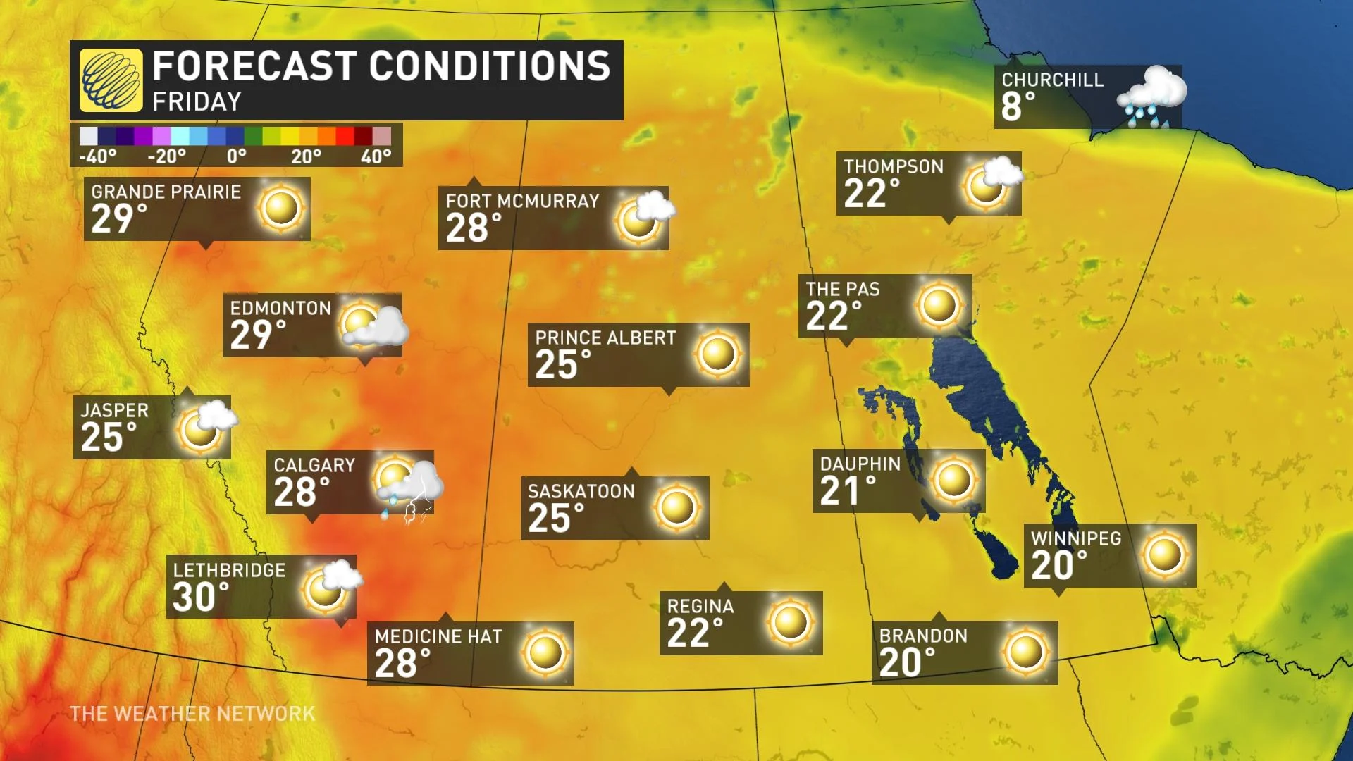
There is a bit of good news for Alberta this week, albeit very small, in terms of fighting the ongoing wildfires. A minor drop in the extreme heat across Alberta will be beneficial, but an atmospheric ridge in the jet stream will keep temperatures summer-like throughout the week. The outlook isn't favourable for crews getting a grip on the wildfires.
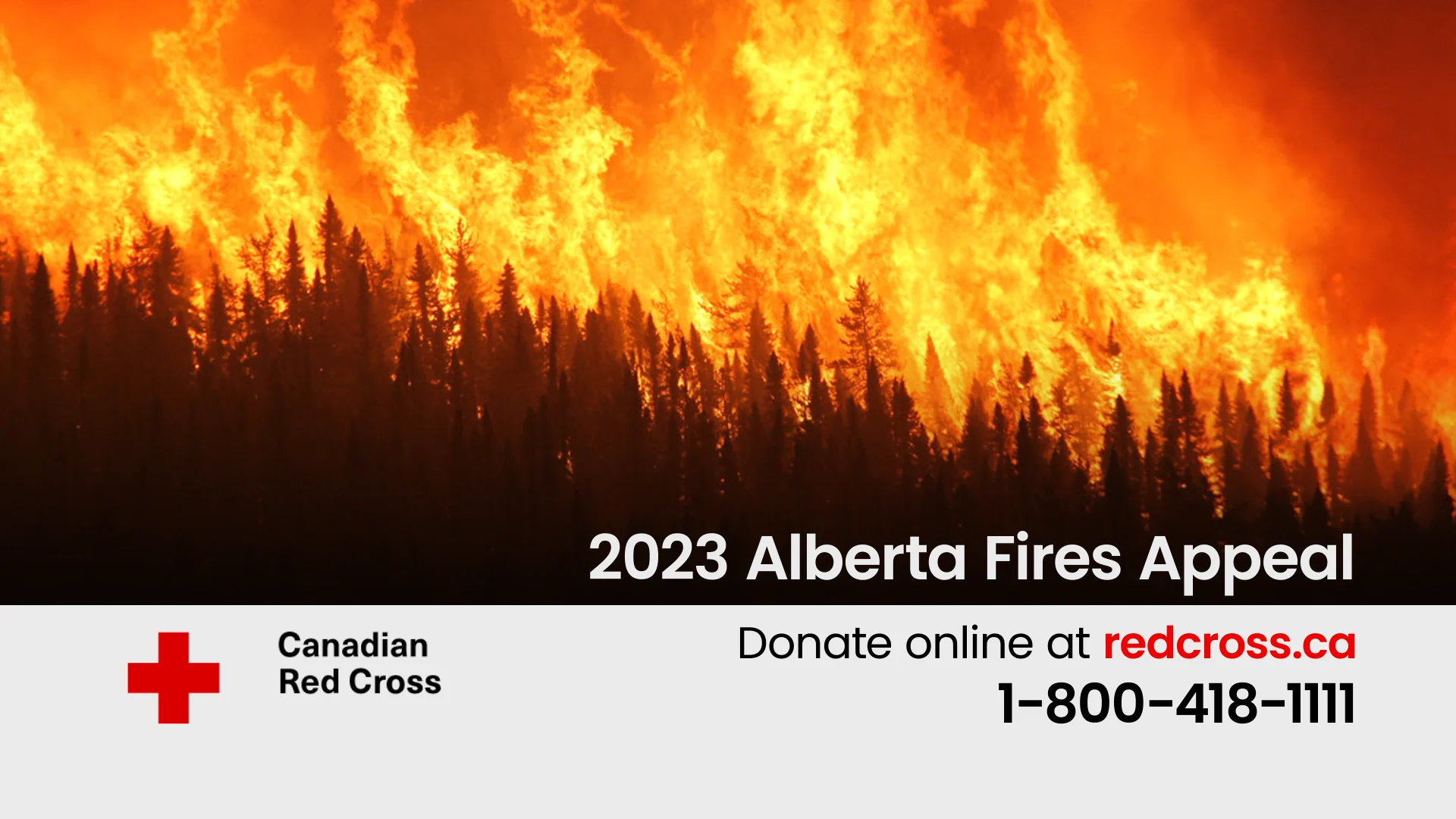
Visit The Weather Network's wildfire hub to keep up with the latest on the active start to wildfire season across Western Canada.
TUESDAY
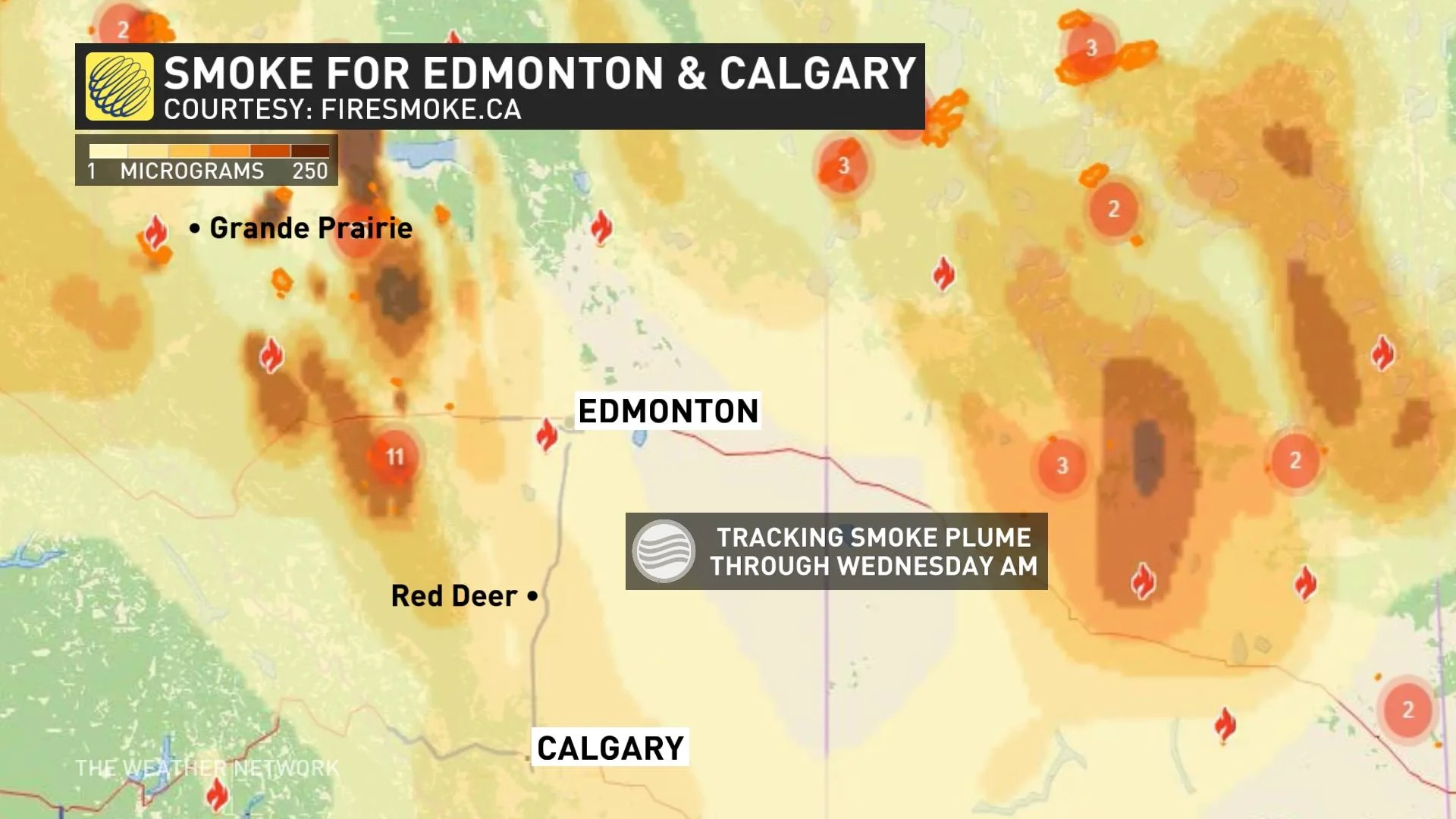
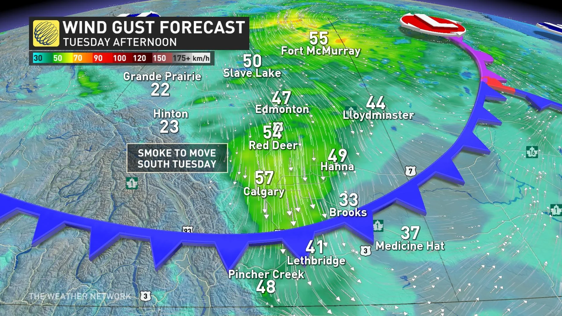
The forecast is expected to take a turn on Tuesday as a frontal system slips south and east across the eastern Prairies. The trailing cold front will bring some minor temporary relief from the 30-degree temperatures, but will also usher in gusty, northwesterly winds, which means fire behaviour and growth is expected to be affected and smoke plumes will travel south. Residents near wildfire areas should remain on high alert as fire behaviour could quickly change direction and evacuation alerts may change.
DON’T MISS: Take UV rays seriously! Here are 9 must-haves to for maximum sun protection
Wind gusts on Tuesday will turn to be out of the northwest through the day and gusts could reach 40-60 km/h in the wake of the passing cold front. This will be of great concern for wildfire behaviour, along with the direction smoke will start to spread in the coming days.
Communities in southern parts of Alberta, including Calgary and Edmonton, along with others will see the deterioration of air quality. Those who are most vulnerable to smoke, such as elderly people or those with asthma, should take extra precautions to limit or avoid exposure to the smokey air.
RELATED: Thick smoke from western fires to blanket Eastern Canada this week
WATCH: Hot, dry, and windy weather are making for dangerous fire conditions
MID-LATE WEEK
Temperatures across the province will temporarily ease into the low 20s for a few days through the middle of the week before a building ridge in the jet stream brings a return of the upper 20s and even low 30s once again for the long weekend.
The fire danger threat through this time period will remain very high to extreme with little to no precipitation expected across the province.
MUST WATCH: Storm chaser's up-close encounter with a ferocious Alberta wildfire
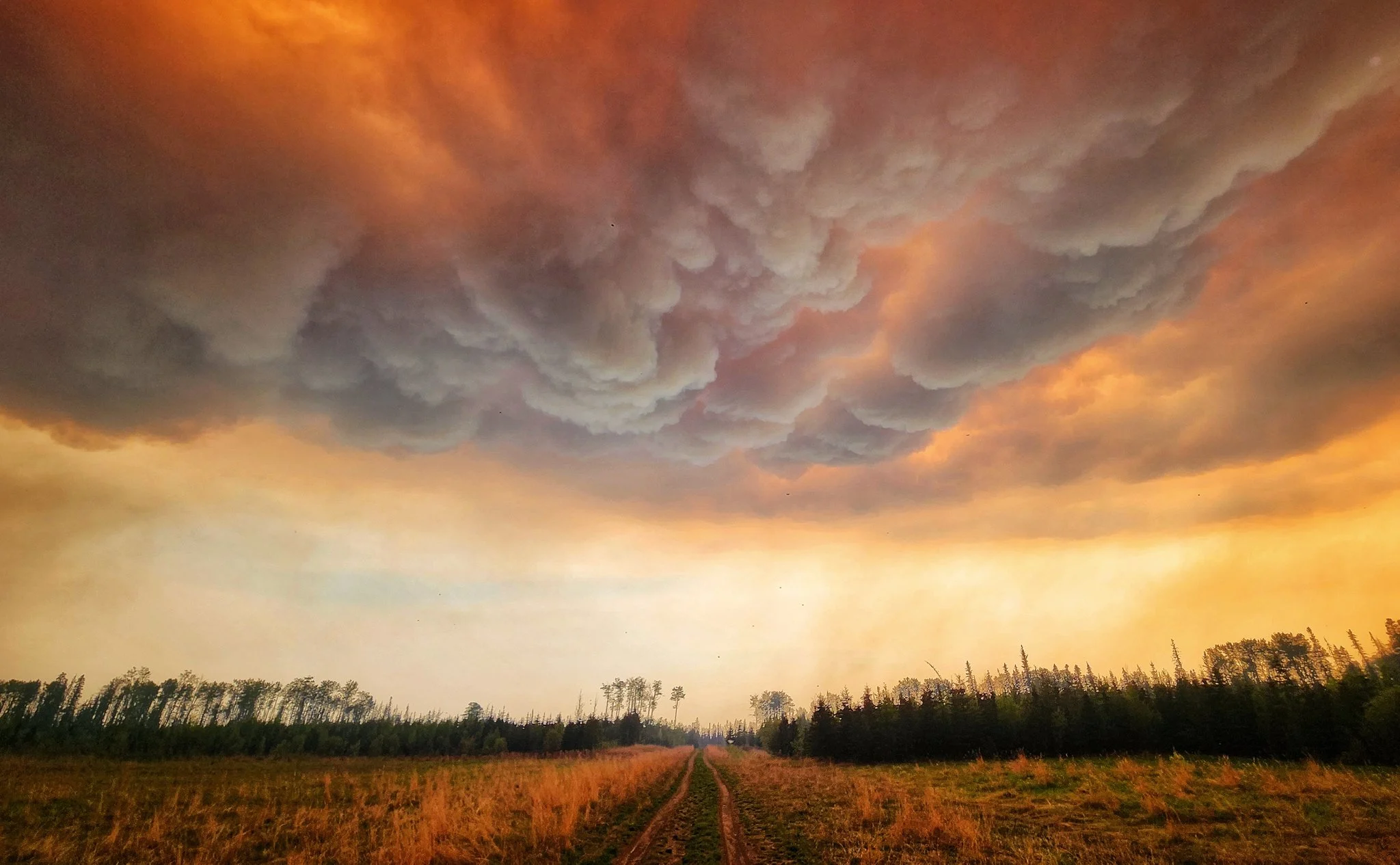
Thumbnail courtesy of Kyle Brittain/Submitted.
Stay tuned to The Weather Network for more forecast details and information.