West: Another round of thunderstorms, then big cooldown threatens snow

More thunderstorms for the west before a big pattern change
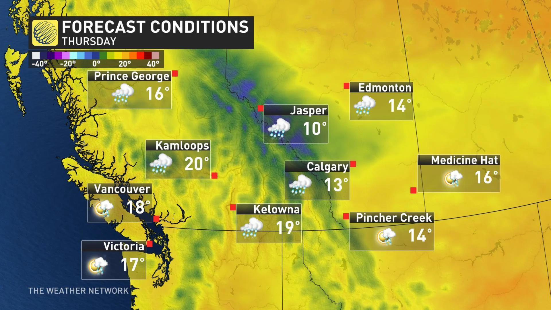
Sunday marks another day of storm risk across the west, particularly in Alberta and the B.C. Interior, though the rains that are produced will benefit some of the drier parts of the region -- but while this kind of weather is not unexpected for this kind of year, more uncommon is a chance of snow that we are eyeing for the late week. More detailed analysis, below.
Summer revealed! Visit our Complete Guide to Summer 2019 for an in-depth look at the Summer Forecast, tips to plan for it and much more
WEATHER HIGHLIGHTS:
Thunderstorms continue for Sunday in Alberta, parts of B.C.
Cooler and unsettled with big pattern change through mid-week
Risk for late-week snow along Rockies, B.C. Interior
Stay up-to-date on the ALERTS in your area
WATCH BELOW: TWO-DAY THUNDERSTORM RISK
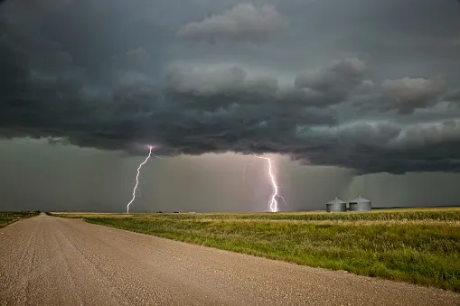
An area of low pressure settled over the central Prairies kept the region dotted with lightning strikes on Saturday, and more of the same is in store to close out the weekend amid the unstable atmosphere.
British Columbia also stands to get in on the thunder action on Sunday, albeit for a slightly different reason. The ridge of high pressure that's been keeping the province hot and dry for the past week is starting to shift slightly, and that means afternoon thunderstorms will have a chance to blossom for parts of the Interior.
Disturbances nibbling at the ridge from the west will also provide a chance for a few rumbles of thunder over Vancouver Island and the Coast Mountains on Sunday afternoon.
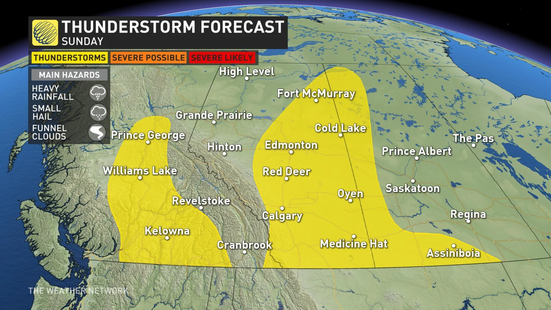
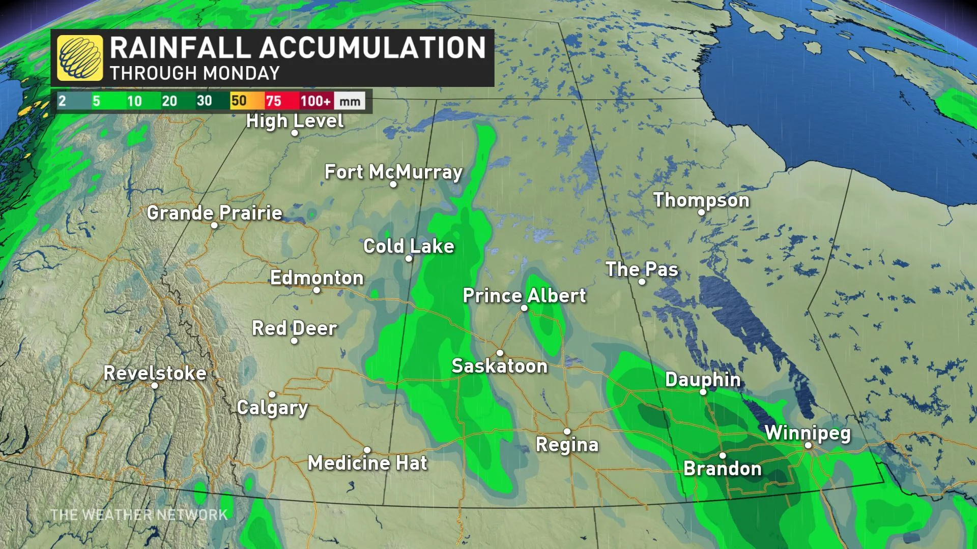
This unsettled pattern does stand to bring some rain to areas that desperately need it, including parts of northern Alberta still fighting out-of-control wildfires and very dry south-central Saskatchewan, but overall accumulations will be spotty, and the risk for dry lightning strikes may offset a lot of the benefit if new fires are sparked.
MUST SEE: Hail shaft, severe storms stun Albertans
SUMMER STARTS WITH SNOW?
A much cooler and unsettled pattern looks to be ahead for much of western Canada, including the risk for snow -- yes, snow -- on the first day of summer.
What's left of B.C.'s high-pressure ridge is expected to break down through the week ahead, drying out the central and eastern Prairies but allowing a major disturbance to track into the coast from the Gulf of Alaska through midweek.
Ample moisture and falling temperatures bring the risk for some high elevation snow back into the forecast for late week in the Interior and along the Rockies.
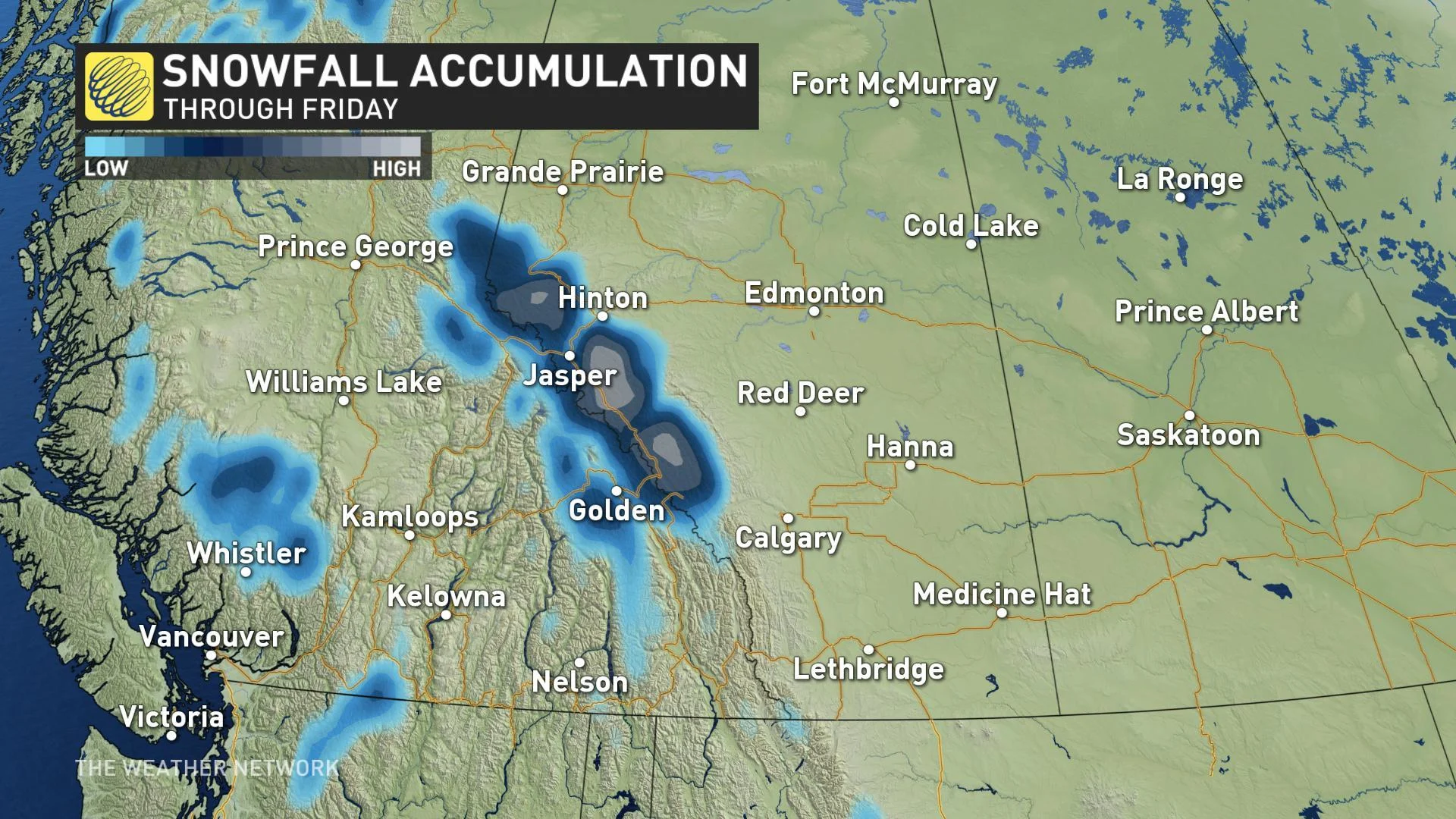
While the snow looks to be (thankfully) restricted to the mountains, temperatures across Alberta and British Columbia will take an abrupt downward turn as well, making it feel like we may be skipping summer altogether and heading right into fall.
SEE ALSO: A story of 'fire and ice' across the Prairies
One silver lining is that this unsettled pattern does bode well for agriculture, according to Weather Network meteorologist Dr. Doug Gillham.
"While this [precipitation] will not eliminate the long term deficits, overall the region will be in much better condition by the end of June than it was to start the month," says Gillham.
Stay tuned to The Weather Network for the latest forecast details.