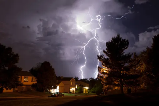
Severe storms possible on the Prairies, heightened risk in Alberta

Forecasters are eyeing a low pressure system that looks to cross the Rockies into Alberta on Thursday and will bring the Prairie region's next major shot at severe thunderstorms. Saskatchewan and Manitoba are next up Friday, with the slight chance of a tornado from any storms that do turn severe there. Details and timing, below.
WEATHER HIGHLIGHTS:
Severe storm risk for parts of Alberta on Thursday
Risk shifts to eastern Prairies for Friday
Keep an eye on weather ALERTS in your area
THURSDAY: SEVERE THUNDERSTORMS POSSIBLE IN ALBERTA
A system will track across the Rockies on Thursday, which will bring a widespread thunderstorm risk to Alberta through the afternoon and evening hours. Central parts of the province are particularly likely to see some of those storms turn severe.
The system has drenched parts of northern B.C. with more than 100 mm in recent days, but by the time it begins affecting Alberta, it won't actually be as significant of a threat for rain.
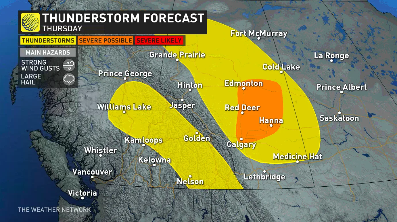
A line of thunderstorms will track through Edmonton and Red Deer regions during the afternoon hours and Calgary will be on the cusp of these storms.
The Weather Network meteorologist Tyler Hamilton warns that these thunderstorms will release significant hail between 3-5 cm in diametre as well as strong winds with localized gusts exceeding 100 km/h. The thunderstorms will then track into Saskatchewan during the evening hours.
BEYOND: SYSTEM MOVES EASTWARD, SLIGHT TORNADO RISK
Once it's done with Alberta, that system will shift eastward, targetting southeastern Saskatchewan and southwestern Manitoba on Thursday afternoon and evening, and lasting into Friday night for the most eastern areas.
Damaging winds and large hail will once again be a threat, but forecasters are keeping an eye on the possibility of a tornado as well.
Temperature-wise southern Saskatchewan and Manitoba both look to feature a hot end to the week, with a cooler pattern continuing to dominate across Alberta and spreading eastward across the region for the weekend and most of next week.
Check back as we continue to monitor the forecast.


