September snow and a first taste of fall for parts of Eastern Canada

Eastern Canada will be getting a sneak preview of fall this week, with cooler temperatures and a chance of frost and September snowfall for parts of the region.
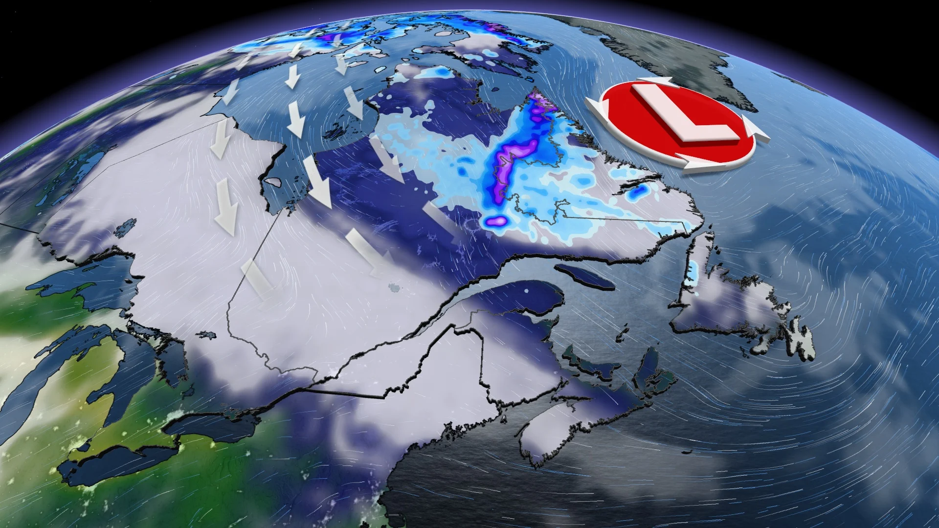
The same system responsible for bringing more than 50 mm of rain to parts of Central Canada Tuesday will be making its way north, leading to the first fall chill for some in the East and a September snowfall in northern Quebec and Labrador.
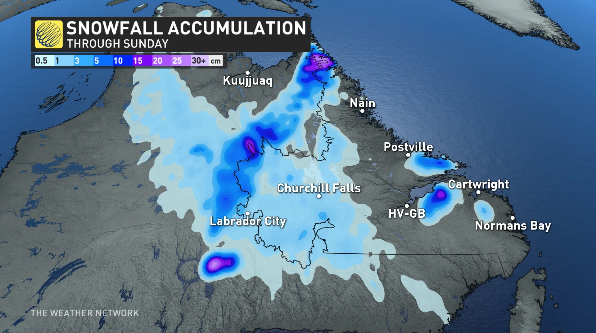
Rain is expected to change to snow Thursday through Friday in areas of northeastern Quebec, bordering Labrador. Only a few communities, such as Fermont and Schefferville, Que., are expected to be affected. Up to 15 cm could accumulate by the time the system departs.
Visit our Complete Guide to Fall 2022 for an in-depth look at the Fall Forecast, tips to plan for it and much more!
While September snowfall may be unusual for some areas in Canada, it is normal to see it occur in the aforementioned region at this time of the year.
It should be noted, however, that the maximum temperatures are still above the freezing mark and will rise again at the beginning of next week. Therefore, the snow is not likely to stick to the ground.
This transition to snow is the result of a descent of cold, northerly air at the back end of the system. Even without the snow, Ontario, Quebec and Atlantic Canada won't escape a taste of the chillier fall weather. The descent of cold air will cause a drop in temperatures from Wednesday to Thursday.
Temperatures of 9°C below normal are forecast in places in Quebec, while Toronto, Ont., struggles to reach the upper teens and New Brunswick sits in the low teens for the first time since June 19 -- more than 80 days ago.

With the cool temperatures comes the risk of frost in several regions of Quebec and portions of central Ontario.
The new air mass may bring periods of gusty winds on Wednesday and Thursday to Ontario and Quebec, reaching 50-80 km/h along the boundary.
But the good news is that the cooldown will be short-lived as summer weather returns for the weekend to Central Canada. The feels-like values in Toronto will be into the low 30s.
WATCH: Ontario's 2022 Fall Forecast: Will the big 'S' word impact the season?
With files from Rachel Modestino, a meteorologist at The Weather Network.
Stay tuned to The Weather Network for the latest forecast updates for Eastern Canada.