Slick travel into Friday as snow continues over parts of Ontario, Quebec

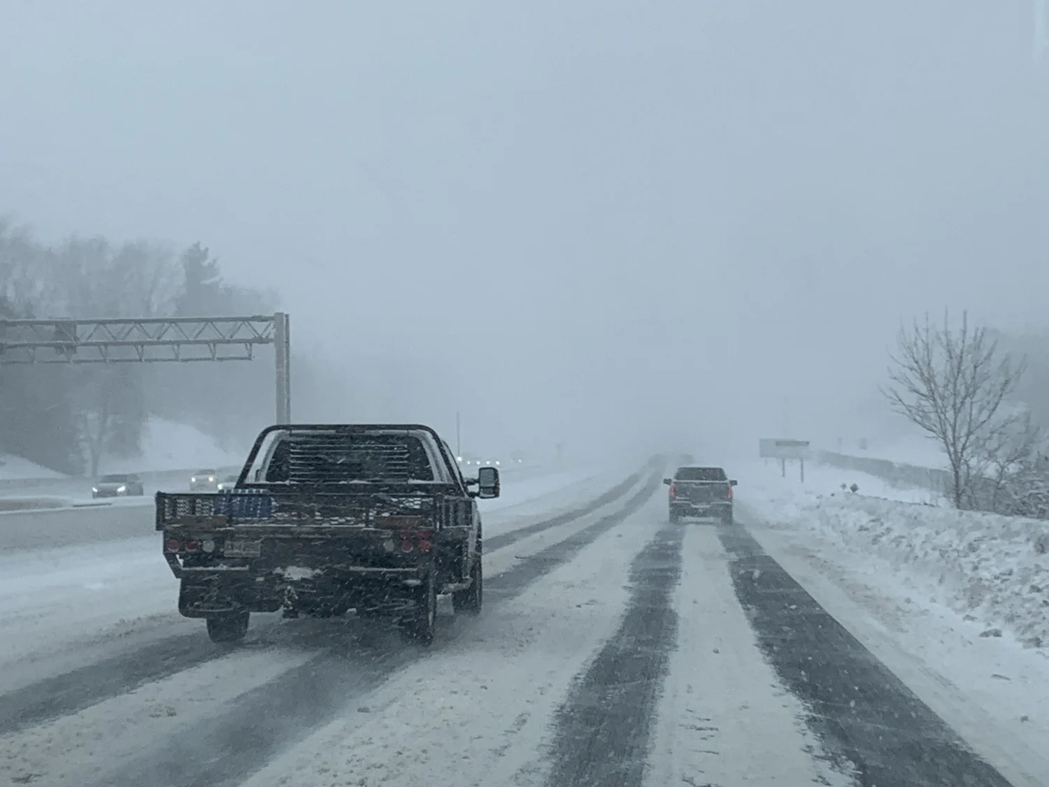
Additional snowfall through Friday morning could make travel difficult for yet another commute across parts of Ontario and Quebec.
Snowfall warnings and winter storm warnings remain in effect through Friday morning across portions of Ontario and Quebec that are still expecting a burst of snow from an expansive winter storm affecting the area. The greatest totals in Ontario will remain around the Niagara region, while Quebec’s Eastern Townships will see heavy snow into the day on Friday. Any additional snowfall will contribute to slick roads and hazardous travel for the Friday morning commute. More on what’s to come, and a look ahead, below.
MUST SEE: February shows its hand early as pattern change repeats this month
INTO FRIDAY: HEAVIEST SNOW TARGETS NIAGARA REGION, EASTERN TOWNSHIPS
The final pangs of a prolonged winter storm affecting Ontario and Quebec will continue into Friday as more snowfall arrives in the area.
We could see an additional 10-15 cm of snow across the Niagara region through Friday morning, with lower totals farther west toward Hamilton. Any additional snowfall should amount to less than 5 cm across the Greater Toronto Area.

The City of Toronto said their winter operations will be focused on the safety and movement of residents and emergency vehicles through Friday, with salting and plowing of roads, sidewalks and bike lanes. The city has the following 24/7 staff and equipment that will be used in response to this latest wintry blast:
More than 1,500 personnel (contracted and city staff)
600 snow plows
360 sidewalk plows
200 salt trucks
CARS IN DITCHES, A TRUCK ON FIRE: ONTARIO DEALS WITH FIRST DAY OF MULTI-DAY SNOWFALL
SNOWFALL WARNINGS CONTINUE FOR SOUTHERN QUEBEC
Snowfall warnings are in place into Friday for parts of southern Quebec, including communities south and east of Montreal.

Additional accumulations of 15-25 cm are possible in the Eastern Townships, with lower totals closer to the St. Lawrence River.
Montreal could see about 10 cm of additional snowfall through Friday. ECCC issued a special weather statement for the city ahead of the snow.
"The Friday morning commute may be challenging due to snow accumulations on roads," ECCC warns in the statement.
WATCH BELOW: HIGHWAY RAMPS FREEZE FAST
LOOK AHEAD: NO SUSTAINED WARMTH IN SIGHT, MORE WINTER WEATHER TO COME
Beyond the storm, another blast of Arctic air will press over the region, with temperatures steadily falling for the start of the weekend.

While the frigid pattern will relax somewhat as we head into next week, there is no sustained warmth in sight. Arctic air will continue to make attempts at returning, while milder air also attempts to build into the region. This should keep the pattern rather active, with plenty of winter weather still ahead through February.
Stay tuned to The Weather Network and check back frequently for all the latest updates as we head into the beginning of February.