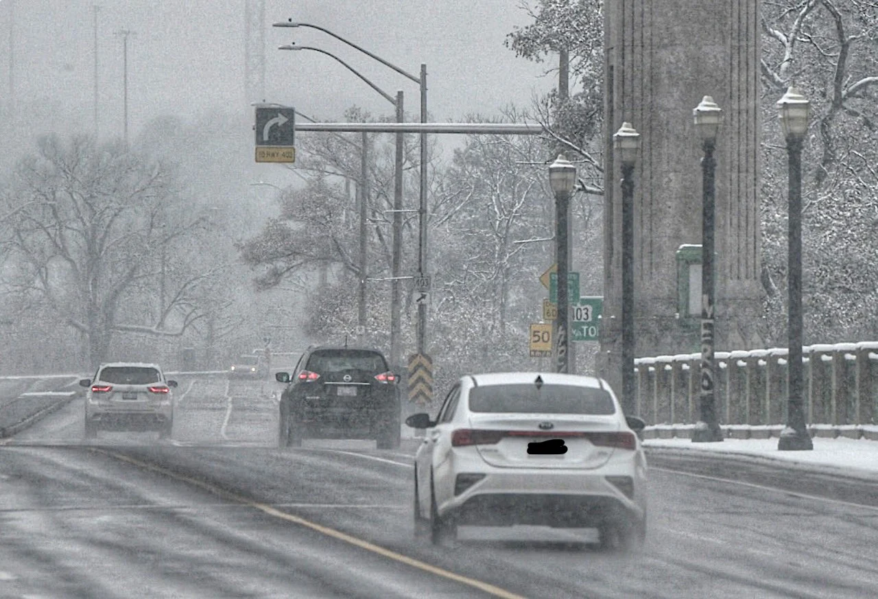
Winter hits back at southern Ontario as snow returns to impact travel
A widespread 5-10 cm of snow is on the way Friday, but this type of storm track is also notorious for heavier amounts along the 401 and QEW corridors.
After a brief spring-like fling earlier this week, winter has reappeared in southern Ontario with temperatures more reflective of the season. It will then hit back with another round of snow Thursday night into Friday, with widespread 5-10 cm for the region, though the setup includes lake enhancement for the west and east end of Lake Ontario. Local amounts could potentially add up to as much as 20 cm by the time it winds down. The Friday commutes will be impacted. More on the timing and impacts, below, plus a look into why this is an unusual storm setup at this time in the season.
MUST SEE: Pothole 101: Why February has been the worst month for roads
THURSDAY INTO FRIDAY: NEXT SYSTEM 'BUCKS THE TREND,'PLAN FOR A SLIPPERY COMMUTE
If you plan on spending time outdoors before the weekend, Thursday is the day to do so. Calm conditions are expected during the day, as there will be some sunshine mixed in, but temperatures will be much cooler than in recent days.
The snow is set to arrive in southwestern Ontario in the evening hours, then pushing into the Greater Toronto Area (GTA) in the overnight period, when snowfall rates will pick up. They will continue to spread east Friday morning, when they will be heaviest, making for a tricky commute.

Amounts of 5-10 cm expected along the 401 corridor. Forecasters are watching the potential for locally higher amounts up to 20 cm, especially for areas near Kingston and the west end of Lake Ontario due to lake enhancement with a northeasterly wind. The lake-enhancement may occur Thursday overnight, then subsiding late Friday morning as winds shift to a westerly direction.
Of note is that the snowfall should be a little fluffier, so it will accumulate faster on the ground.
"This is an unusually cold system to watch for this late in the winter season," says Dr. Doug Gillham, a meteorologist at The Weather Network.
While we all know snow is very normal at the end of February, it is more typical to see messy systems that bring a combination of rain, ice and snow, due to the climbing daytime high temperatures at this time of year. But due to well below normal temperatures, precipitation will manifest as snow for southern Ontario.
Conditions will remain cold into Saturday, with a quick period of snow and gusty winds bringing a few additional centimetres on Sunday.

A fair and cold start to next week, but forecasters will be watching the potential for a clipper on Tuesday. Milder weather will attempt to spread east into the region mid- and late next week, but it could also run into resistance.
There is also the potential for a wintry pattern during the second week of March, as Arctic air over Central Canada attempts to press into the region while warm weather over the eastern U.S. also tries to push north.
Be sure to check back for the latest updates on this late week snow threat in southern Ontario.
