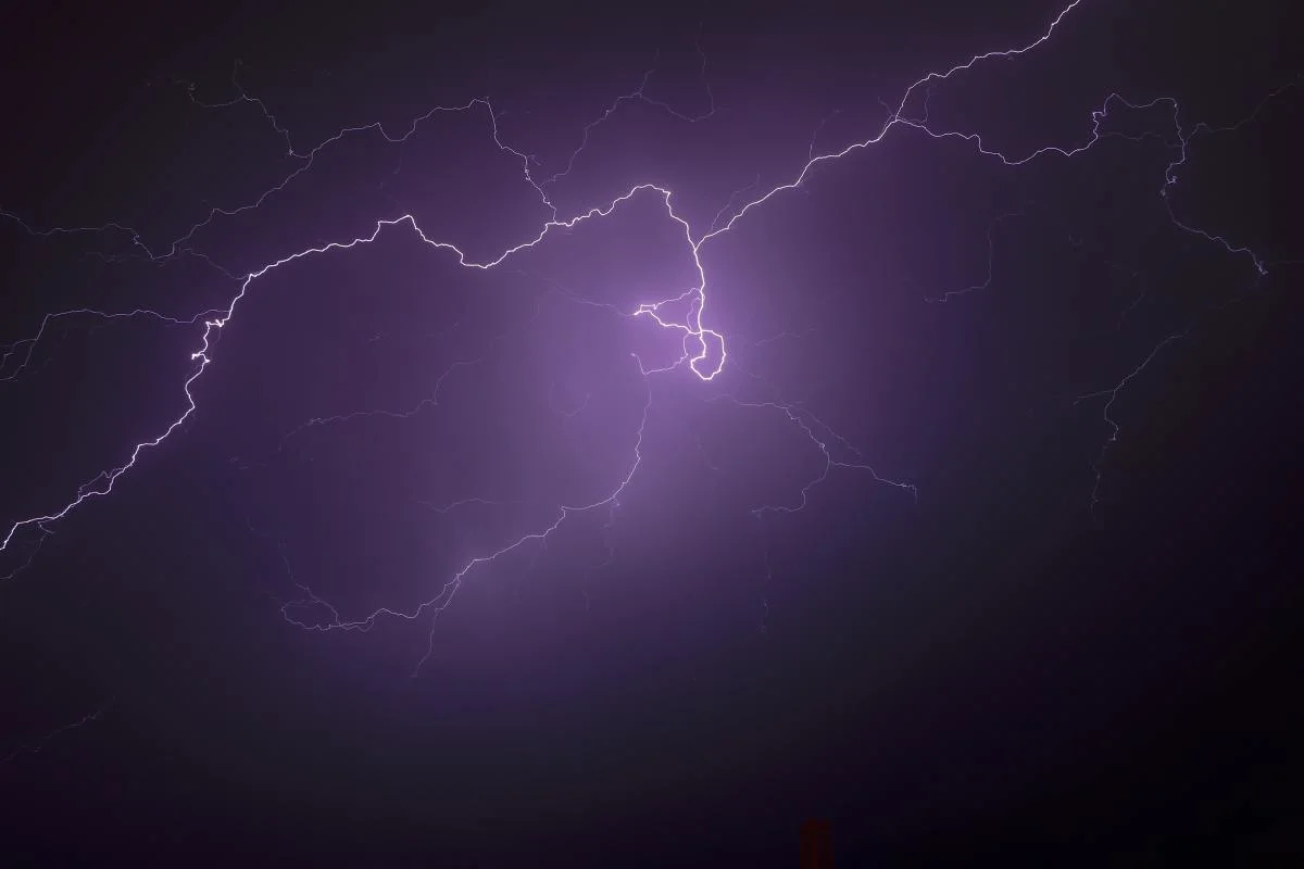
Rumbles of thunder roll over Ontario as warmer air pushes in
The finale to Wednesday’s active weather across Ontario will see heavy rain spread over the south—and even a few rumbles of thunder for some.
We saw a raw and wintry Wednesday across Ontario as a sprawling system produced heavy snow in the northwest, freezing rain for parts of the south, and a cold wind that whipped up waves on the lakes. One more push of steady rain will move over southern Ontario into Thursday before things briefly clear out. We’re looking ahead to more active weather in time for the weekend, and colder temperatures by next week. More on what to expect for the last weekend of March, below.
Visit our Complete Guide to Spring 2022 for an in-depth look at the Spring Forecast, tips to plan for it and much more!
WEDNESDAY NIGHT INTO THURSDAY: HEAVY RAIN, MAYBE A FEW RUMBLES OF THUNDER
The final act of a sprawling storm that brought heavy snow, freezing rain, and a cold wind to Ontario on Wednesday will sweep through the southern half of the province overnight Wednesday into Thursday morning.

A steady rain will spread over southern Ontario through Wednesday evening. Some rumbles of thunder are likely as some instability accompanies the front across the region.
Farther north, some cold air lingering at the surface over portions of cottage country and eastern Ontario could allow precipitation to begin as a period of snow or ice pellets. This wintry mix should change over to plain rain through early Thursday morning as temperatures rise in the southerly flow.
WATCH: GRAND RIVER LEVELS QUITE HIGH FROM RECENT SNOW, RAIN EVENTS IN ONTARIO
LOOK AHEAD: MORE WINTRY WEATHER, LAKE-EFFECT SNOW EXPECTED INTO THE WEEKEND
Those southerly winds will allow temperatures to soar into the double digits for much of southern Ontario during the day on Thursday.
Cloudier skies will prevail by Friday, however, with a spell of colder air expected in time for the weekend. An upper-level low hanging out over the Great Lakes will herald the return of snow and lake-effect for the region.

Periods of snow, mixed precipitation, and bands of lake-effect snow will move across southern Ontario this weekend. Even chillier temperatures will arrive by early next week, locking in a cooler-than-seasonal pattern that’s expected to last through the beginning of April.
Thumbnail courtesy of Jorge Rojas via Unsplash.
Be sure to check back for the latest updates on the changing conditions across Ontario.
Subscribe to 'This Day in Weather History': Apple Podcasts | Amazon Alexa | Google Assistant | Spotify | Google Podcasts | iHeartRadio | Overcast
