Quebec: Schools close amid heavy snow, dangerous travel

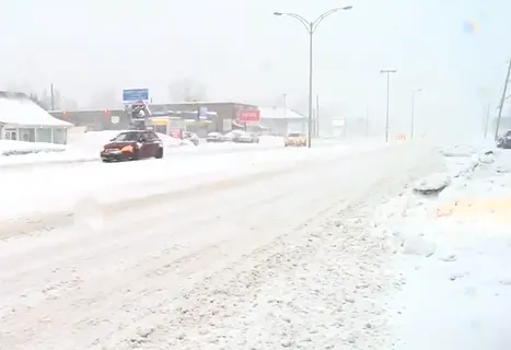
Several schools across Quebec shut their doors early Thursday as a far reaching and potent storm made for some quickly deteriorating conditions. Snowfall and winter storm warnings span the province with as much as 40 cm possible over the hardest hit areas through Friday. More on the timing and difficult travel conditions, below.
Visit our Complete Guide to Spring 2020 for an in-depth look at the Spring Forecast, tips to plan for it and much more
WEATHER HIGHLIGHTS:
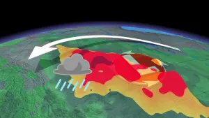
Strong winter system will continue to pummel Quebec through the day on Thursday
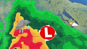
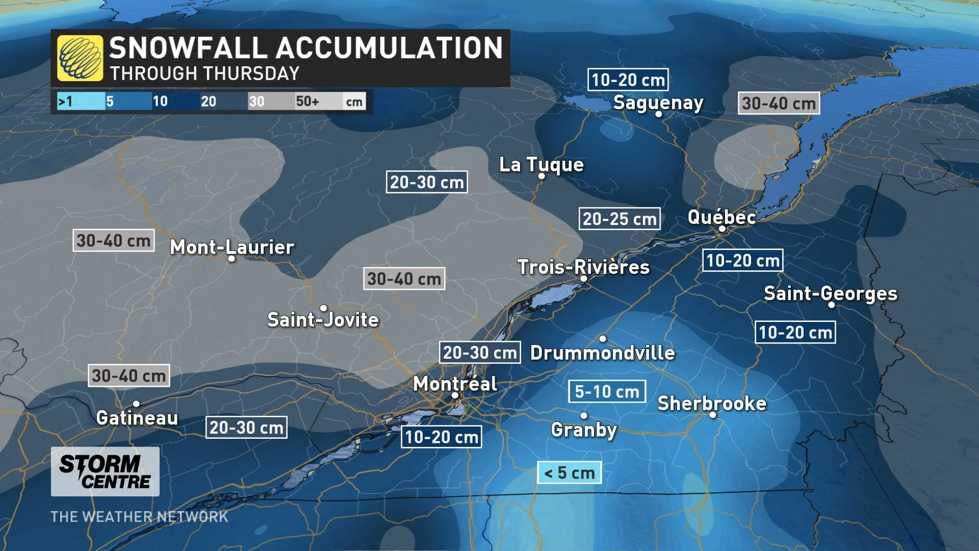
Heavy snow expected through much of the province with a widespread 10-20 cm forecast, locally approaching 30+ cm for some
Poor driving conditions likely as strong winds accompany the snow through Thursday
Stay up-to-date on the ALERTS in your area
THURSDAY: STORM PEAKS FOR ST. LAWRENCE REGION
After an overnight start, this latest winter storm was at full strength for much of Thursday, lashing the province with strong winds and heavy snow.
Several schools across the province closed, as Environment Canada urged residents to postpone all non-essential travel due to the treacherous travel conditions. School bus service was also cancelled for the entire Sir Wilfried Laurier School Board.
Several road closures and numerous collisions were reported on the province's highways, while dozens of flights were cancelled.
WATCH BELOW: SEMI-TRUCK HANGING OFF OF OVERPASS IN WHITEOUT CONDITIONS
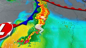
The storm is in the process of ramping down, and by the time all is said and done, the highest snowfall totals are forecast along and north of the St. Lawrence River with a widespread 20-30 cm expected for most areas including Montreal, with 10-20 cm expected in Quebec City. Parts of central Quebec could see as much as 40 cm of snow by Friday morning.
Strong winds have also accompanied this system, ramping up through the day on Thursday with gusts of 60-80 km/h, and some localized areas possibly nearing 90 km/h. That made the travel conditions even worse, with poor visibility due to blowing snow.
FRIDAY: LAST SNOW ENDS, TEMPERATURES FALL
The snow should be done for Quebec City by the morning, and the last flakes should exit Gaspésie and the North Shore by the late morning hours.
The low will also bring in frigid daytime highs for Friday and Saturday, feeling closer to -15 when you factor in the wind chill.