Major, impactful winter storm set to sweep Atlantic Canada this weekend

A storm will develop off the U.S. East Coast on Friday night and make a beeline for the Atlantic provinces this weekend. Here’s what you need to know.
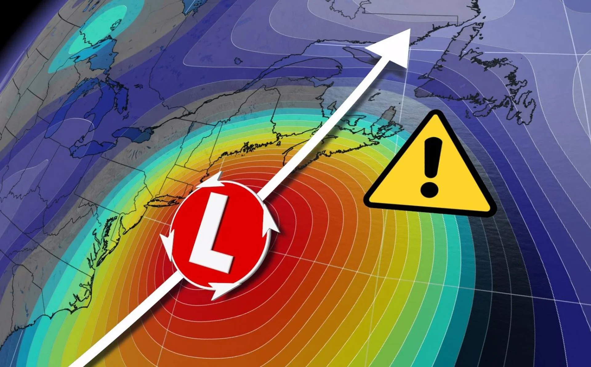
We’re looking ahead to the threat of a major nor’easter across the Atlantic provinces this weekend. A bomb cyclone will develop off the eastern seaboard Friday night into Saturday morning, bringing a period of heavy snow, ice, rain, and high winds to the Maritimes and Newfoundland through Sunday. Blizzard conditions and disruptive snowfall totals are possible, as well as the risk for significant icing for some areas and potential storm surge flooding along vulnerable coasts. More on the weekend nor’easter threat, below.
DON’T MISS: Here's how to stock your vehicle's emergency kit, BEFORE you get stranded
THIS WEEKEND: ALL EYES ON A POWERFUL NOR'EASTER WITH MAJOR IMPACTS ACROSS THE EAST COAST
Powerful nor’easters are becoming a weekend tradition across Atlantic Canada in recent times. All indications are that we’re about to see the region’s third major winter storm in the past month.
Environment and Climate Change Canada (ECCC) issued widespread special weather statements for the Maritimes, advising residents of the potential for “a very intense winter storm.”
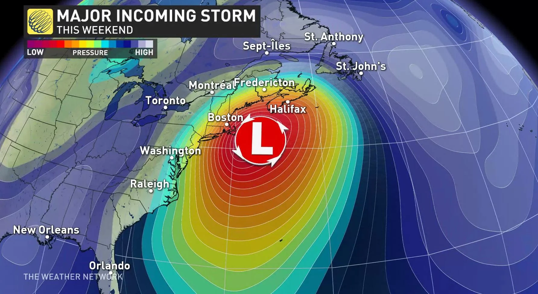
A low-pressure system will develop off the North Carolina coast on Friday night, rapidly intensifying as it parallels the eastern seaboard and heads toward the Maritimes. The low’s swift and powerful intensification will easily fulfill the criteria to call the system a bomb cyclone.
RELATED: ‘Weather bombs’: Explosive storms that create ferocious conditions
This system could bring impactful snows and gusty winds to the Mid-Atlantic and Northeastern United States, including Philadelphia, New York City, and Boston. From there, the system will move into Atlantic Canada early Saturday and remain a headache for the region through Sunday.
WHEN A 'WEATHER BOMB' IS IN THE FORECAST, WHAT DOES THAT MEAN EXACTLY?
We’re still several days out, so there’s some uncertainty surrounding the forecast details and precise storm track. However, there is high confidence that this system will be a high-impact event for Canada’s East Coast.
Wintry precipitation is likely to reach the Maritimes by Saturday morning, with conditions worsening across the region throughout the day. The system’s effects will reach Newfoundland on Saturday night. The storm will clear out from south to north throughout the day on Sunday.
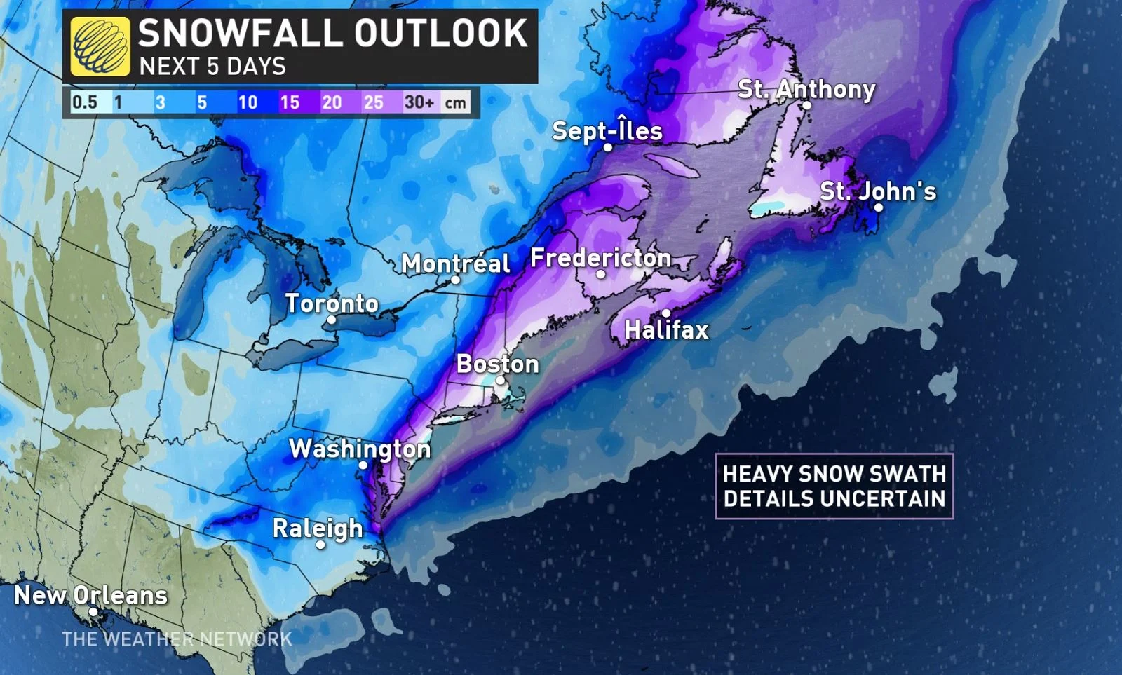
As of Wednesday evening, it looks like most of New Brunswick and Prince Edward Island will remain on the snowy side of the system. Areas that experience significant snowfall will also contend with high winds that could lead to a period of blizzard conditions during the height of the storm. Some areas could wind up seeing 40 cm of snow by the end of the storm.
Near the storm’s track and along the eastern side of the system, warmer air will make this a messy storm for much of Nova Scotia and Newfoundland. Many areas will experience several different types of precipitation during the course of the storm. There’s the potential for significant ice pellet accumulation and ice accretion from freezing rain in some areas, though it’s still too early to pinpoint exactly where this may occur.
Strong, persistent winds could also lead to storm surge flooding for some coastal areas.
Forecasters will have a clearer view of the storm’s eventual track and impacts across the region as we get closer to the event. Make sure to check back frequently for the latest details on this high-impact event across Atlantic Canada.
Stay tuned to The Weather Network for all the latest on this approaching winter storm.