Storm wallops northern Ontario with hefty snow, impacts to travel

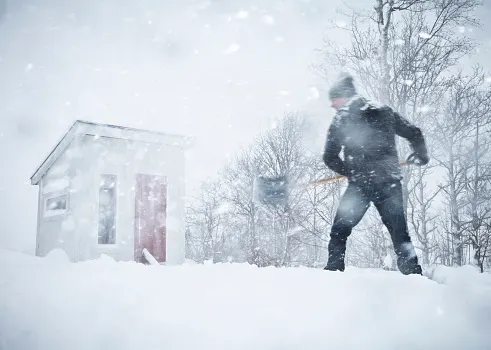
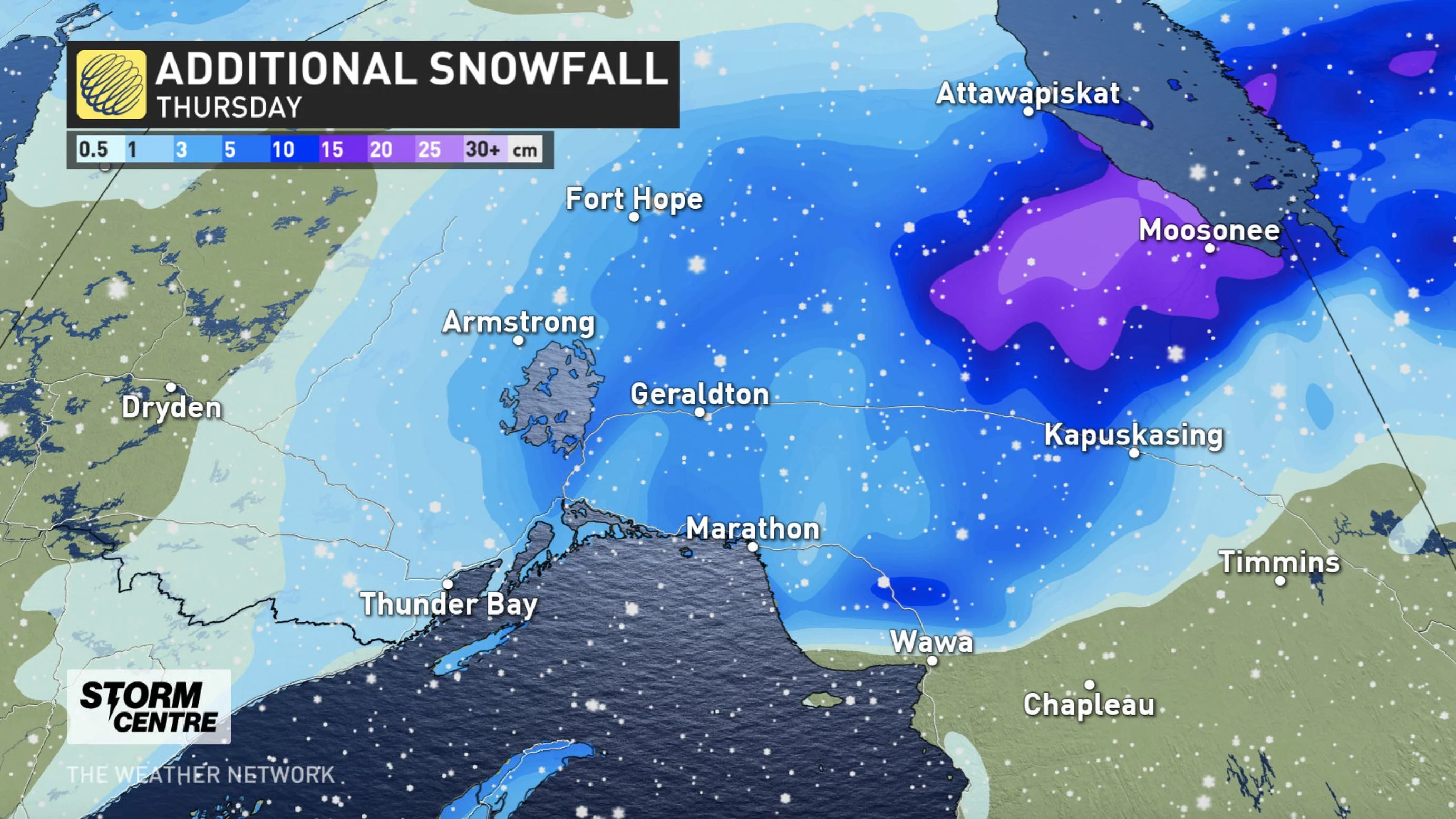
A departing winter storm in northern Ontario could leave behind an additional 10 cm of snow Thursday, with travel remaining difficult during the day.
Driving conditions will remain difficult in northern Ontario Thursday, with effects from the intense low-pressure system beginning to wind down through the day. Some areas could see accumulative totals up to 50 cm by the time it departs Thursday night. An additional 5-10 cm is possible for Kapuskasing, Hearst and areas along Highway 11. Drivers across the region are urged to consider postponing any non-essential travel until conditions improve.
WEATHER HIGHLIGHTS:
Tricky travel conditions Thursday, with additional 5-10 cm possible in some areas
Strong northerly winds of 50-70 km/h Thursday morning make for blowing snow, though diminishing by the afternoon
Conditions improve in the overnight hours, clearing in time for Christmas Day, though with frigid temperatures, light snow left in the storm's wake
THURSDAY: SNOW WINDS DOWN, BUT TRAVEL WILL REMAIN DIFFICULT
The intense storm has begun to relax in northern Ontario, with just light snow continuing through the day Thursday, easing in the overnight hours.
While winter storm and snowfall warnings remain in the place, they are expected to drop off through the day as conditions improve. Additional snowfall totals could hit 5-10 cm in Kapuskasing, Hearst and areas along Highway 11.
By the time the system departs, accumulative totals may hit 30-50 cm in areas just north of Lake Superior.
Brisk northerly winds gusting 50-70 km/h are expected through Thursday morning, resulting in localized blowing snow over exposed areas.
This storm will certainly leave behind a healthy snowpack for a guaranteed White Christmas across the region.
There will just be some light snow on the backside of the system for Christmas Day morning, from Timmins eastward to the Quebec border. The rest of the northern sections will be dry Friday, albeit with bitterly cold temperatures well below seasonal.
Be sure to check back for updates on this potent pre-Christmas storm system.