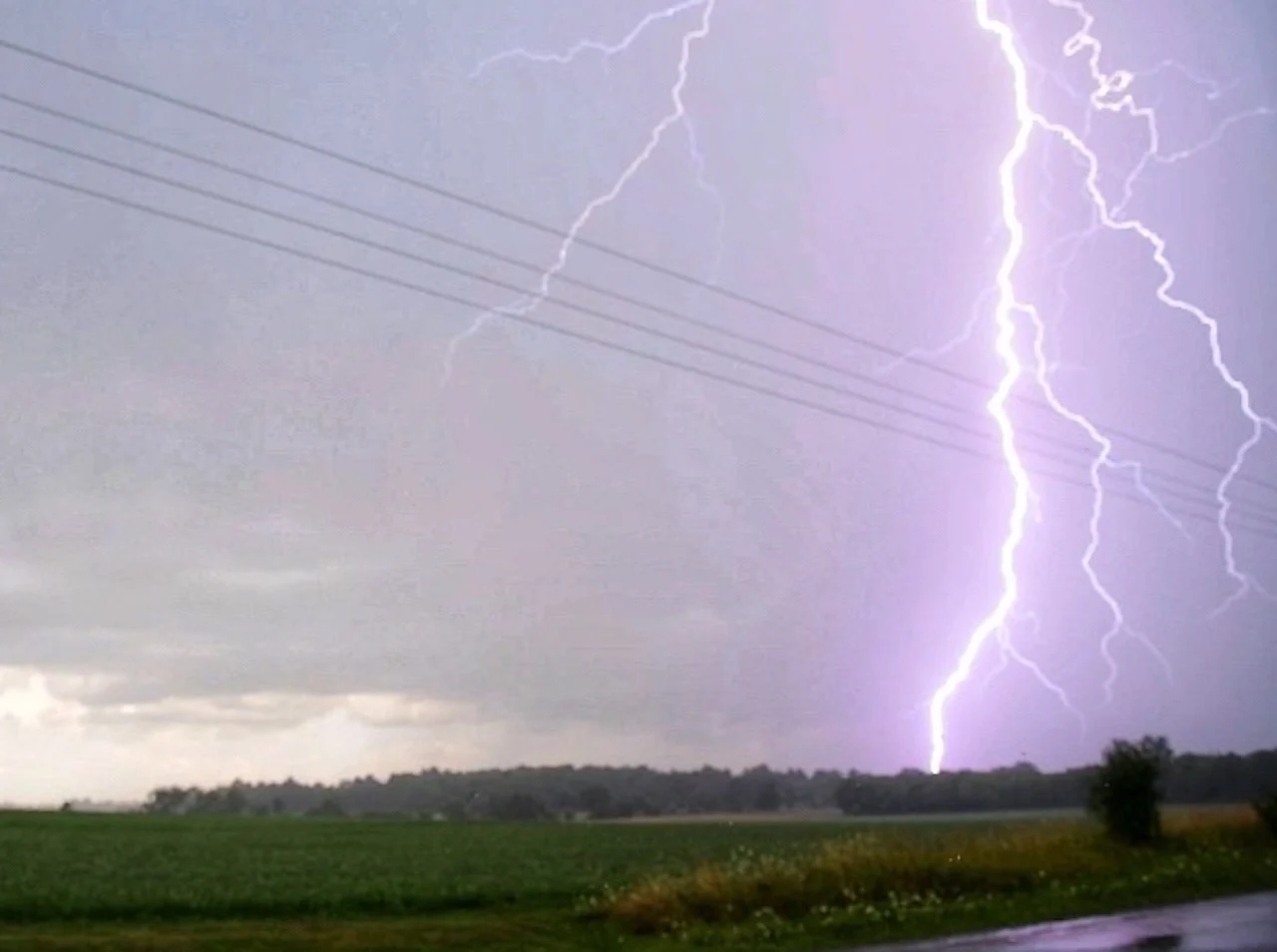
PHOTOS: Sneaky, odd-moving and sluggish storms soak parts of Ontario
The isolated storms snuck up on parts of southern Ontario Tuesday, thanks to lake-breeze boundaries and an unstable air mass, bringing 75+ mm of rain locally to some places in a short amount of time.
Many people in southern Ontario may have been caught off guard by short-lived thunderstorms on Tuesday that brought torrential downpours, with hefty amounts in some spots in under an hour.
The isolated storms began to pop up across the region in the afternoon, thanks to an unstable air mass and lake-breeze boundaries in place. Each cell may not have had a long duration, but had a impact because of the amount of rain it produced.
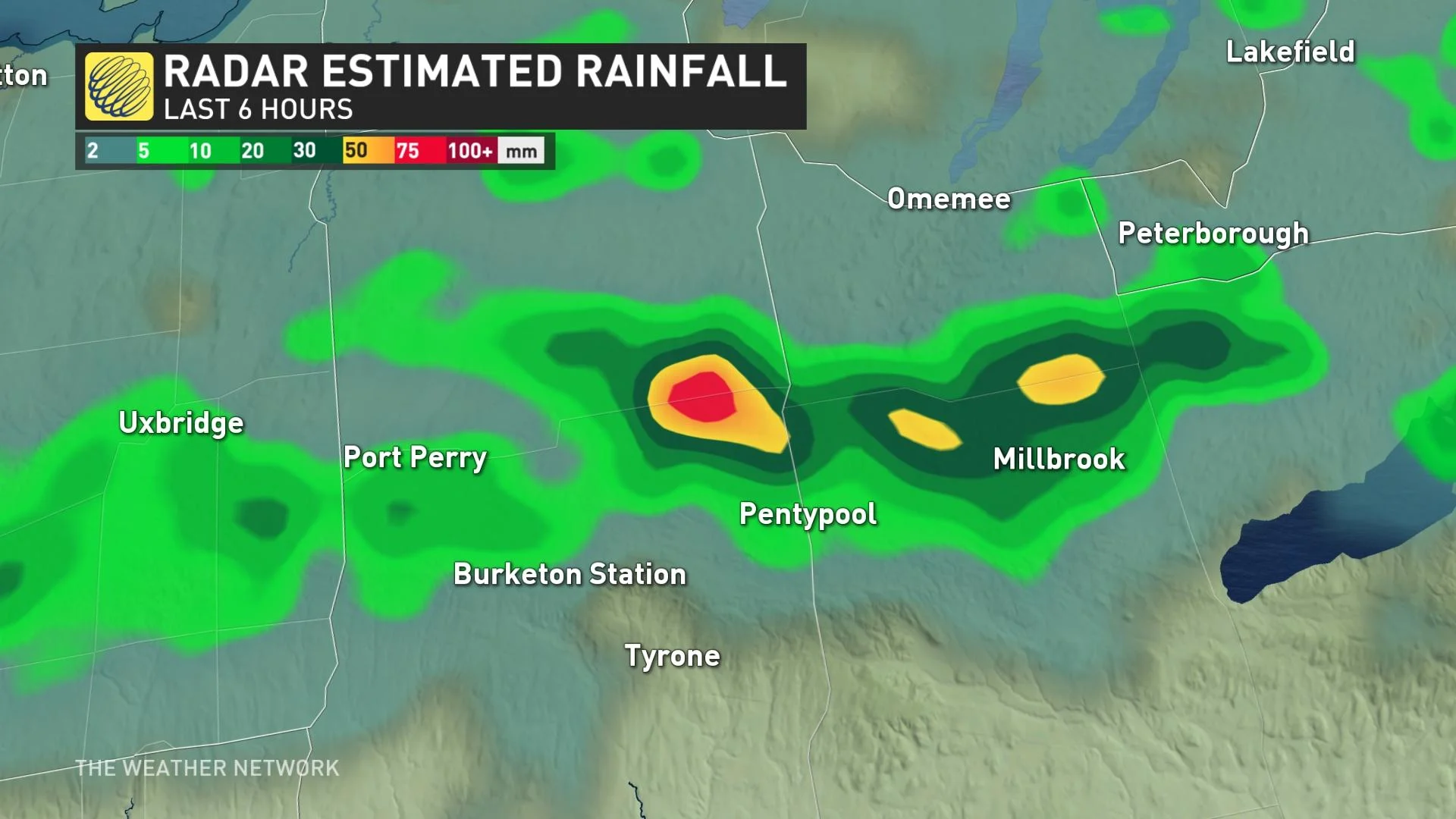
The slow-moving nature of the storms presented the potential for localized flooding and an considerable amount of rainfall in a short time. Severe thunderstorm warnings were issued for a few sections across the region as a couple of spots saw 75+ mm of rain.
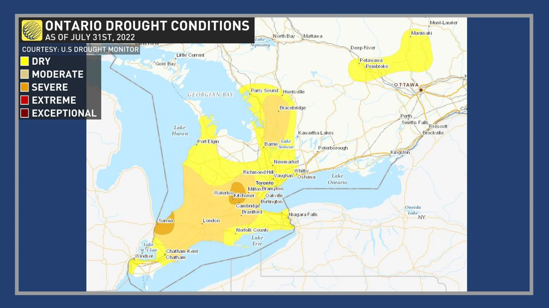
Unfortunately, most areas needing the rain missed out on the precipitation burst and remain considerably or extremely dry -- much worse in some areas than others.
The nearly stationary storms also had a bit of an unusual movement pattern, drifting slowly in a westerly and southwesterly direction as opposed to a quick speed in a west-to-east trajectory. In addition to the torrential rainfall and localized flooding threat, there were reports of small hail in some places.
The storms will lose intensity as we lose the forcing of the lake-breeze boundaries after sunset. However, the risk of thunderstorms will return on Wednesday as we remain in a pattern with an unstable air mass.
Below are a selection of visuals from the sneaky storms that were shared on social media at the height of the activity Tuesday.

