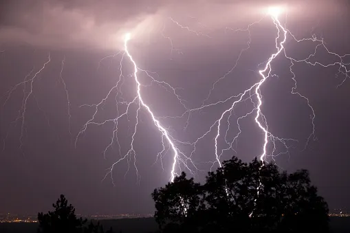
PHOTOS: Flash floods, powerful winds rip through Ontario

A cold front triggered a line of severe thunderstorms in Ontario Saturday afternoon and evening
Severe thunderstorms fired up across southern, northeastern and eastern Ontario Saturday afternoon and evening. Residents took to social media to post photos and videos of the active weather.
The storms were sparked as a cold front trekked across southern, northeastern and eastern areas of the province, quickly prompting reports of downpours, flooding, lightning, hail and strong winds (including a microburst).
It even resulted in a brief tornado warning for Little Abitibi-Kesagami Lake in northeastern Ontario Saturday evening. Environment Canada dropped it at 7:22 p.m.
The storms have since moved out and sunshine will return to Ontario on Sunday. The latest on Ontario's forecast can be found here.
Pictures and videos of Saturday's storms can be found below.
MAN RESCUED FROM CAR IN BRAMPTON
A man in Brampton had to be rescued from his car Saturday evening after the vehicle became trapped in floodwaters under a rail bridge.
TORNADO WARNING WAS ISSUED BRIEFLY
Little Abitibi-Kesagami Lake in northeastern Ontario was under a tornado warning briefly on Saturday evening, as a severe thunderstorm moved through the area. Environment Canada dropped it at 7:22 p.m.