PHOTOS: Huge snowflakes fly across B.C. South Coast, residents in awe

While snowfall for the low elevations of B.C.'s South Coast may not have been totally out of the ordinary Tuesday morning, what may have caught them off guard was the size of the snowflakes, which were pretty considerable.
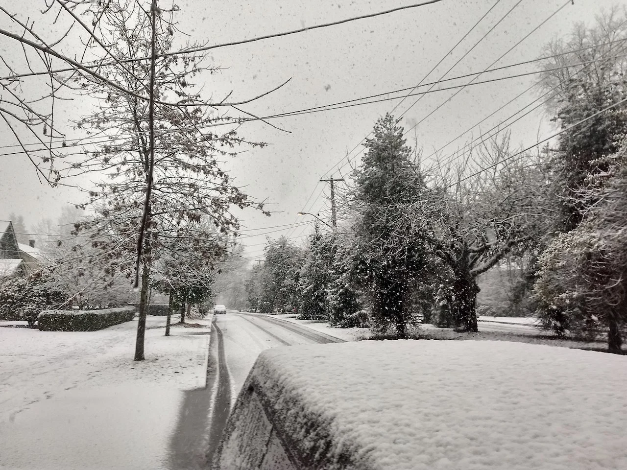
B.C. residents awoke to a wintry delight Tuesday morning, with a burst of snowfall that spread into high and lower elevations of the South Coast, including parts of the Lower Mainland.
While that may not have been totally out of the ordinary, what may have caught them off guard was the size of the snowflakes, which were pretty sizable. What was responsible for the larger snowflakes?
SEE ALSO: Grand Forks flooding: B.C. community still searching for answers
According to Tyler Hamilton, a meteorologist at The Weather Network, the bigger than usual snowflakes (toonie-sized) were "aggregates" or clumps of snowflakes. The recipe for the large flakes involves them sticking together as they pass through an above 0°C layer near the surface.

"We had a lot of moisture in the snow growth region, [with temperatures of] -10°C to -20°C. We also had a region of above freezing temperatures that allows the snowflakes to clump together, creating aggregates," said Hamilton. "And then light winds in the lowest levels really provided those snowflakes the opportunity to clump together."
A low-pressure centre moving across southern B.C. brought rain to much of the Lower Mainland. Meanwhile, a cool air mass in place has kept freezing levels around 200-300 metres this week.
As a result, higher elevations have been seeing heavier accumulations of snow Tuesday, but closer to sea level, there was snow or wet snow falling at times during the day. This led to some slippery roads and tricky travel in places across the Lower Mainland and Vancouver Island.
Another system will bring the chance for low-elevation snow overnight Tuesday into Wednesday morning for the higher elevations, again threatening travel as a result of the slushy roads, but low elevations in the Lower Mainland and Vancouver Island could also see the flakes once more.
North Shore Mountains could see 20-40 cm of snow through Wednesday.
It didn’t take long for social media to blow up with visuals of the big ‘flakes and scenes of snowy roads. Here is a selection of what is making the rounds so far.
Thumbnail courtesy of @mcshanehedges/Twitter, taken in New Westminster, B.C.