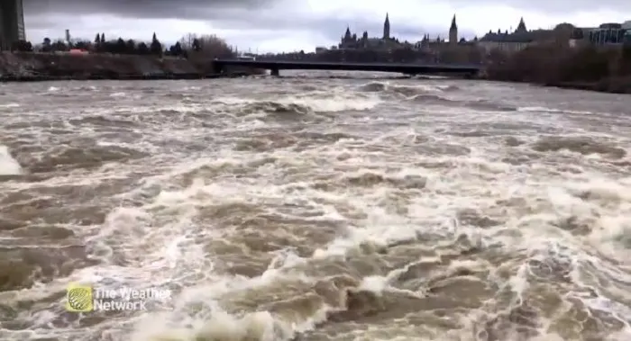
Pembroke declares state of emergency, flooding nears record
The Ottawa Valley hub of Pembroke, Ont., is seeing its second-highest water levels ever recorded, ones the city has now said it can't handle on its own.
A state of emergency has been declared to make sure the city can access more resources if needed.
Visit our Complete Guide to Spring 2019 for an in depth look at the Spring Forecast, tips to plan for it and much more
The Ottawa River Regulation Planning Board's latest update at 2 p.m. Wednesday said the water was at 113.53 metres above sea level, 15 centimetres above the peak set in late April and 163.6 centimetres above its May average, using data that goes back to 1950.
Its latest forecast suggests the water could peak in the next day or two as high as 113.75 metres. Anything more than the 113.67 metres seen in 1960 would set a new record.
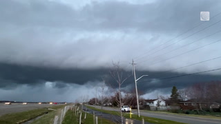
The area could get 20 to 40 millimetres of rain by Friday.
A senior engineer with the planning board said Wednesday that reservoirs further north in the river basin can't hold back more water and will have to release whatever precipitation and melt they get.
RIVER PARKS CLOSED
The city closed Riverside Park and its marina Wednesday because of the floods.
Waterfront Park remains closed.
Riverside Drive on the west end of Riverside Park was also closed to everyone but local traffic and emergency vehicles.
Several other nearby municipalities have declared a state of emergency, including Petawawa, Renfrew County and Ottawa.
The Ontario government has opened up disaster relief money to people along the Ottawa River from west of Deep River to L'Orignal. Residents can apply until the beginning of September to get money to help repair damaged property.
This article was originally published on CBC.ca.