SpaceX launches Canada's trio of next-gen radar satellites

Canada has a new trio of satellites in space today which will more closely survey our nation's ecosystems.
On a foggy Los Angeles morning, three Canadian satellites - the RADARSAT Constellation - launched into oribt atop a SpaceX Falcon 9 booster rocket.
Now deployed in space, this trio will orbit the Earth every 96 minutes, scanning Earth's surface day and night, using next-gen resolution radar.
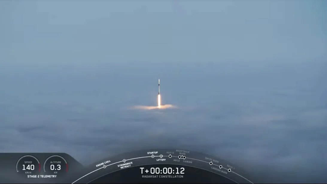
SpaceX's Falcon 9 booster rocket breaches the top of the fog deck over Los Angeles on Wednesday, June 12, 2019, as it lofts Canada's RADARSAT Constellation towards space. Credit: SpaceX
The RADARSAT Constellation's primary mission: to monitor Canada's ecosystems,
to better help farmers with crop yields by assessing soil moisture,
to track harvesting and regeneration of trees for sustainable forest management,
to protect wildlife habitats,
to protect valuable wetlands, and
monitor erosion along Canada's 243,042 kilometres of coastline
In addition, the RADARSAT Constellation mission will also track the motion of sea ice and icebergs, monitor surface winds to better predict stormy seas, observe and track oil spills, plus keep tabs on ship locations within Canadian waters and on the Great Lakes. They will also be invaluable for relaying accurate and timely information to help with disaster management.
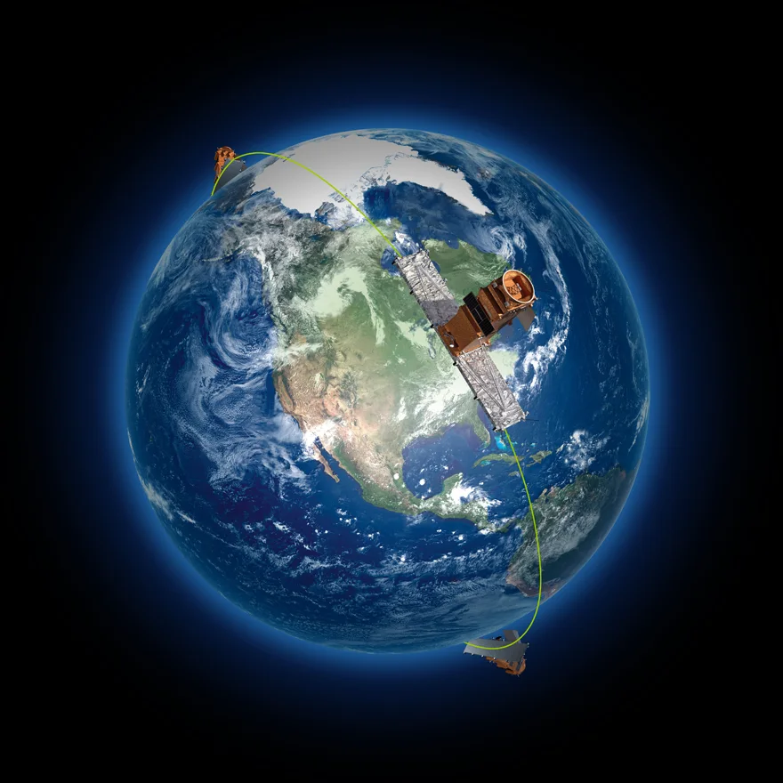
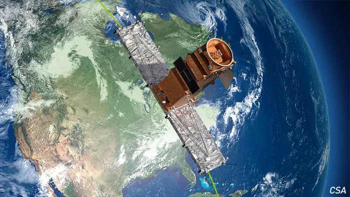
The trio of RADARSAT satellites will space themselves out, equally, along their orbit, 600 kilometres above the surface, and work in tandem to provide detailed radar images of Earth. Credit: Canadian Space Agency
These three satellites, flying in polar-orbiting tandem, will be using a system known as Synthetic Aperture Radar to map the surface of Earth at a resolution where each pixel of its resulting images will be 1 metre on a side.
Not only will they provide us with ultra-detailed radar maps of Canada, they will provide coverage of roughly 90 per cent of the Earth's surface.
Watch the foggy launch of RADARSAT from Vandenberg Air Force Base in California
The RADARSAT Constellation is the third RADARSAT mission Canada has launched. RADARSAT-1 which was in operation for over 17 years, from 1995 to 2013, regularly scanned at a resolution of 100 m, and managed 10 metre resolution, at best, for its fine-scale focused imagery. RADARSAT-2, launched in 2007 and still in operation, also regularly scans at 100 m resolution and can get down to 1 metre for its ultra-fine focused scans.
For RADARSAT Constellation, its 1m x 3m scans are apparently its standard. Thus, on a regular basis, it will far surpass previous missions for image detail.
Sources: Canadian Space Agency | SpaceX (pdf) | With files from The Weather Network


