Ontario: Sunday cleanup hindered by shot of snow, strong winds

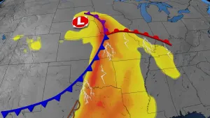
The winds -- and the number of power outages -- are on the rise Sunday morning as the storm that brought record high temperatures and record rainfall to southern Ontario takes one last wintry swipe at the region. A quick blast of snow is trailing widespread rain and freezing rain across the province as the system starts to depart, and that's made a mess of roads. As winds pick up through the morning, ice-laden tree branches and power lines threaten further outages. We break down what's still to come below.
WEATHER HIGHLIGHTS:
Last shot of snow wraps up through Sunday morning, west to east
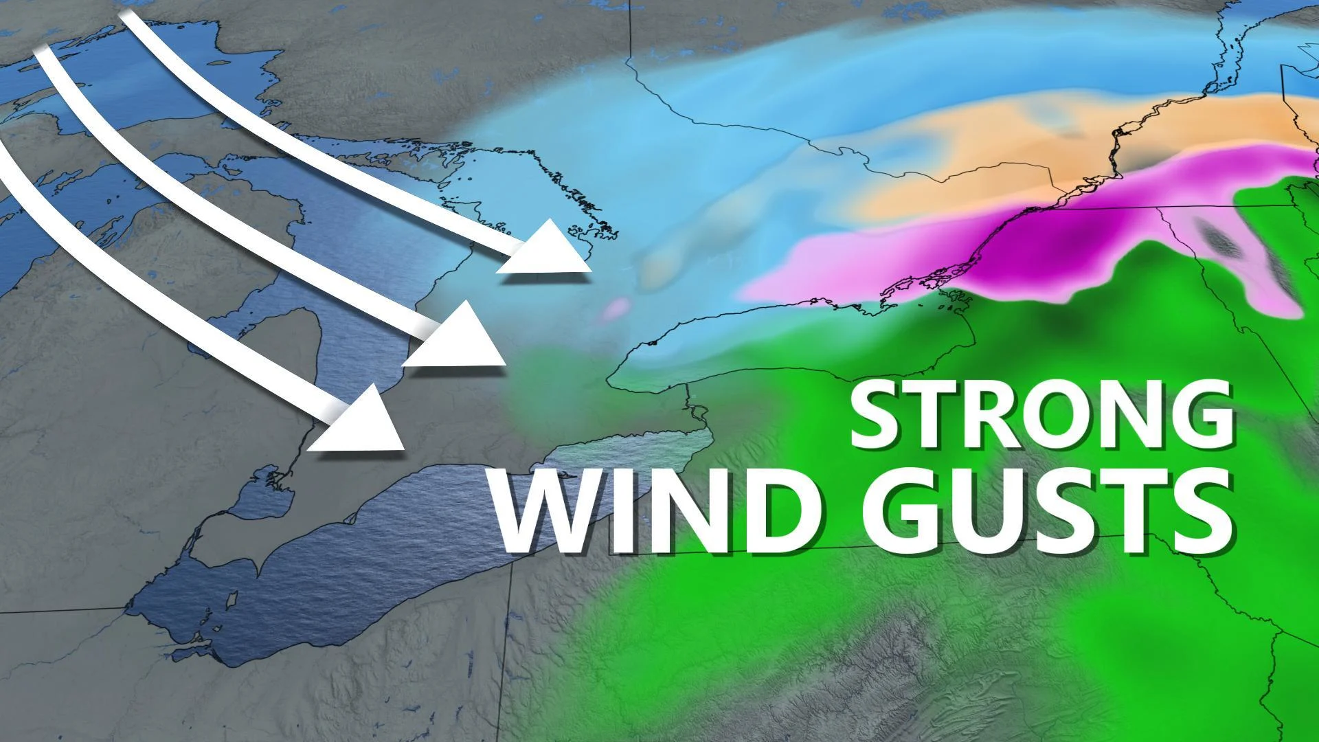
Strong gusty winds expected through early Sunday afternoon; potential for additional damage to trees and power lines in regions impacted by ice
Several light rounds of snow, freezing drizzle expected this week
Stay aware of ALERTS in your area
SUNDAY MORNING: SHOT OF SNOW, STRONGER WINDS
Sunday morning has seen this record-breaking storm make its way out of much of southern Ontario, but the parting shots have been powerful ones for some parts of the region. More than 20 mm of ice built up on surfaces in places like Shelburne and Hopeville, and Sunday morning's locally heavy snow is serving to make a mess of area roads.
BELOW: SURVEYING THE AFTERMATH IN SHELBURNE
Compounding the problem will be increasingly gusty winds across the region, particularly across southwestern Ontario between lakes Huron and Erie, through early Sunday morning. As of 10 a.m. EST, Hydro One was reporting roughly 11,500 customers without power, the majority of them between Kincardine and the northern GTA. Further downed branches and powerlines, particularly those heavy with ice, are likely through much of the morning, meaning the number of outages is still likely to rise.
RELATED: WHY THE DVP IS SO PRONE TO FLOODING
Sunday morning's dramatically colder temperatures have also seen standing water rapidly freeze across much of the province. Many spots that managed to avoid freezing rain on Saturday are now seeing icy scenes as flooded areas freeze over.
SUNDAY AFTERNOON AND BEYOND: BRIEF ROUNDS OF SNOW, FREEZING RAIN THIS WEEK
Winds will start to die down across much of the province through the afternoon as the storm edges away toward Atlantic Canada. Unfortunately, we won't see a return to Saturday's milder temperatures. Temperatures are expected to drop well below freezing on Sunday night, with the risk for any remaining standing water to become solid ice through the overnight.
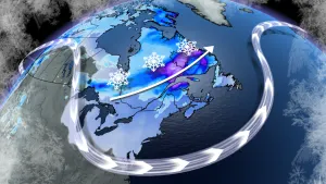
While no major storms are on the horizon for southern Ontario, it won't be smooth sailing this week as multiple weak disturbances skim by the region. The first of these is set to bring some additional snow and a brief round of freezing drizzle on Monday. This should bring limited accumulation for most, with a trace to a couple of centimetres expected.
BELOW: TRACKING A QUICK SHOT OF SNOW FOR MONDAY
Stay with us here at The Weather Network for your latest forecast details.
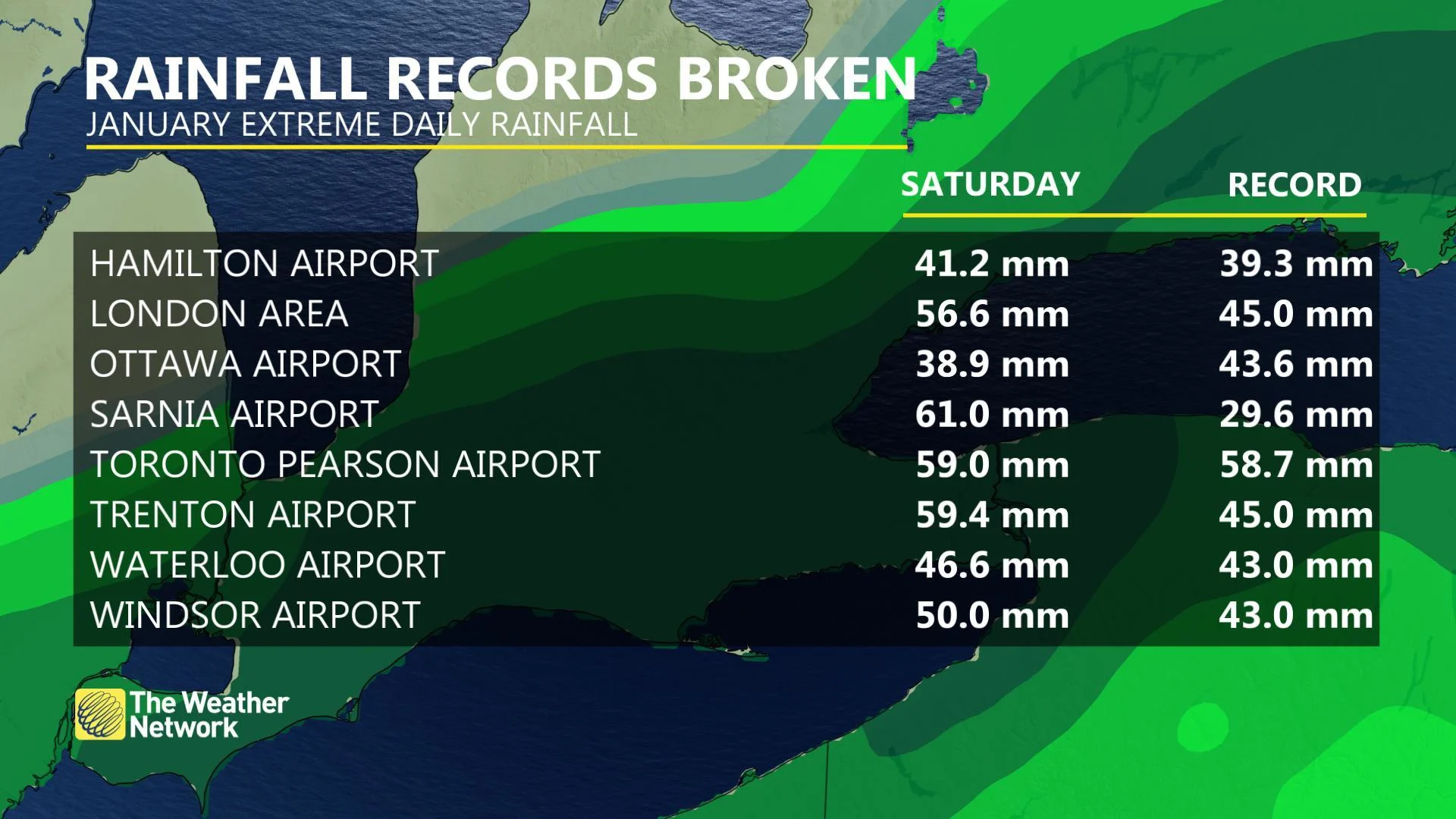
RECORDS FALL AS MAJOR STORM SWEEPS SOUTHERN ONTARIO
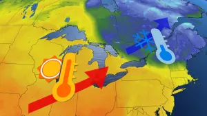
Moisture-laden air streaming north from the Gulf of Mexico let both temperatures and rainfall amounts surge into record territory on Saturday, with temperatures in many communities climbing into the low teens through Saturday morning.
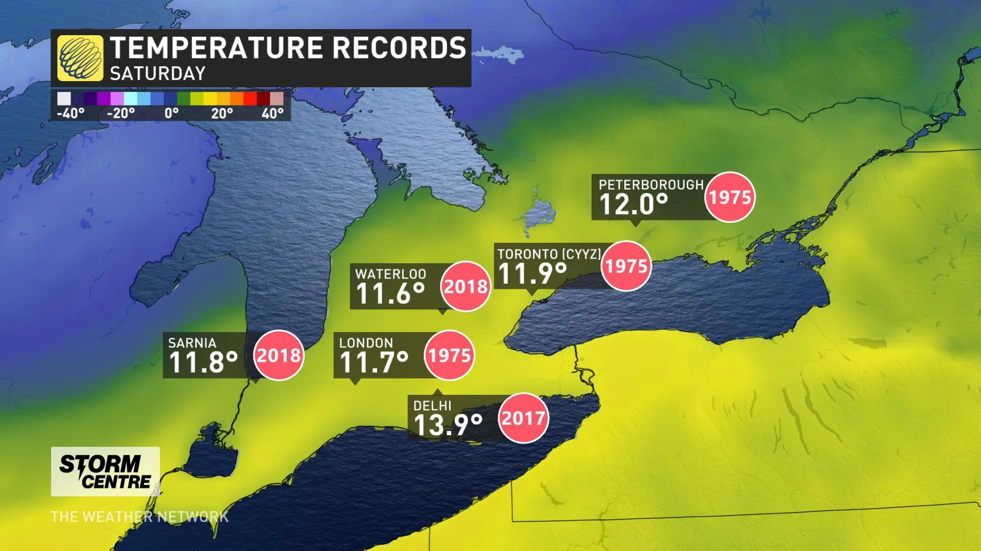
Many of those same places went on to see their entire average January rainfall in less than 24 hours. Daily rainfall records fell for many places in southern Ontario, including Toronto, Hamilton, and London.