Ontario: Tornado warning dropped in northern Ontario, thunderstorm risk builds

Severe thunderstorms sparked in the far north of Ontario Friday afternoon.
A hot and humid afternoon featured several thunderstorms in Ontario's far north, with some storms turning tornadic, with at least one tornado warning that was dropped around 6 p.m. EDT, then reissued a little before 7 p.m. EDT. The warning was then dropped again at 7:16 p.m. EDT.
The threat for thunderstorms also lingers over the region into the weekend as building heat could create some favourable conditions for storms to develop. More on the storm chances throughout the weekend, plus a first look at the pattern we're watching into mid-August, below.
RELATED: Watch? Warning? How we communicate severe weather in Canada
WEATHER HIGHLIGHTS:
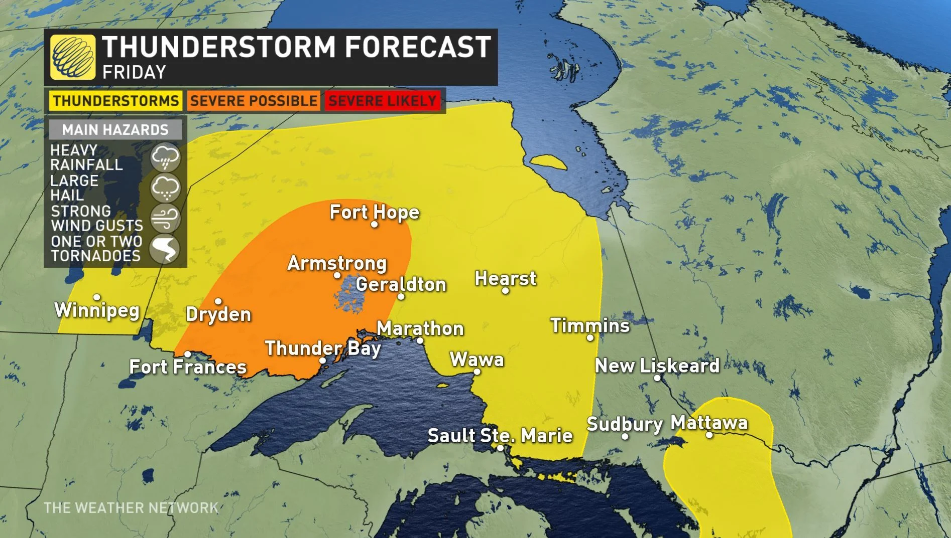
Non-severe thunderstorm risk over most of Ontario Friday, strongest severe chance back in the northwest
Rising temperatures, humidity into weekend
Higher risk for additional rain showers and thunderstorms Sunday as next front approaches
Stay up-to-date on the ALERTS in your area
WATCH BELOW: NEXT RAIN, STORM TIMING
Thursday's strongest storms were featured in northwestern Ontario, though with locally heavy downpours reported across parts of the south.
Friday's storm scenario is quite similar to Thursday as a slow moving cold front across the north keeps the area unstable right through Saturday. There's the risk of some isolated storms reaching severe levels, with locally heavy downpours, large hail and strong wind gusts the biggest threats if storms develop.
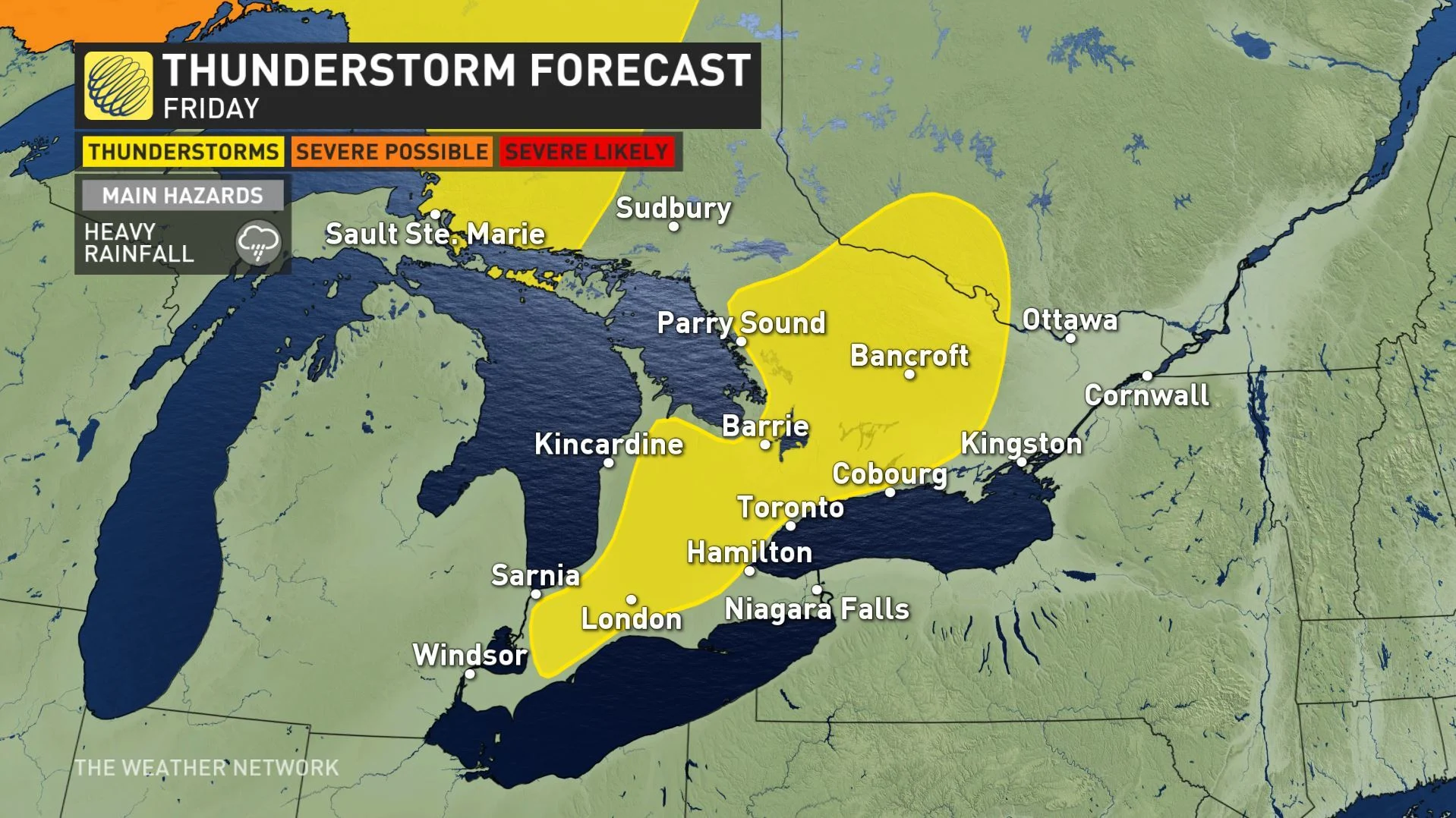
For southern Ontario, there will be no major "trigger" to initiate or sustain thunderstorms, but with increasing heat and a light lake breeze, there is still the chance for a few storms to develop through Friday afternoon.