Ontario: Conditions will improve to start the weekend, but impactful low looms

Conditions will improve Friday, but northerly winds will remain strong in southern Ontario, keeping temperatures below seasonal
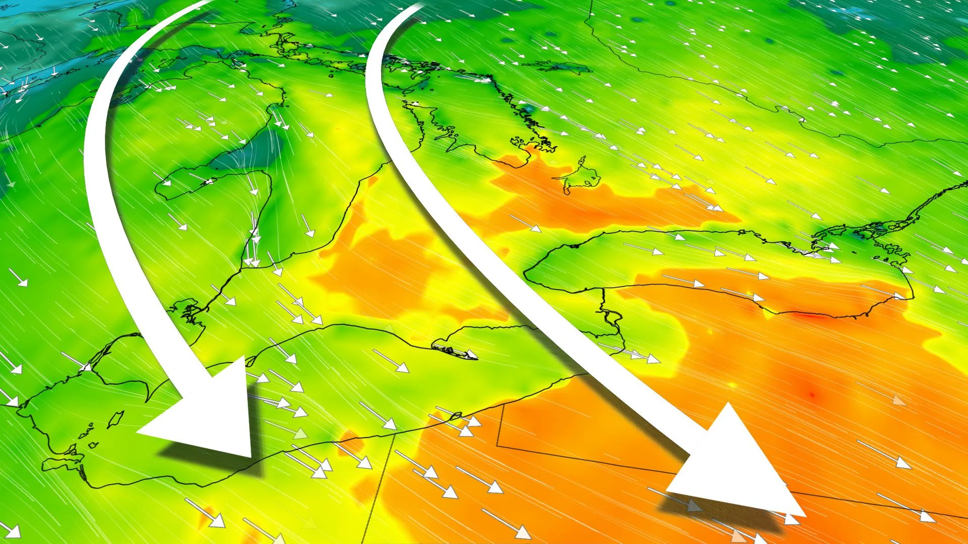
Friday will be cool and blustery in southern Ontario, but sunshine makes its return to end the week and kick-start the weekend, too. But, a system moving in from the southwest will bring some hit-or-miss showers Saturday night into Sunday. The bigger story will be a potent Colorado low moving in Sunday night, bringing heavy snow in the north, and rain, potentially damaging winds, in the south through Monday. Here's a closer look at the forecast.
WEATHER HIGHLIGHTS:
Conditions improve Friday, but gusty winds linger in the south with 40-60 km/h gusts through early evening
System will bring spotty showers Saturday night into Sunday
Next potent low to bring rain, damaging winds late Sunday into Monday
Keep ahead of active weather ALERTS in your area
FRIDAY: GUSTY WINDS CONTINUE, SUN RETURNS, BUT COOLER TEMPS
Southern Ontario will see gusty northwest winds lingering Friday, reaching the 40-60 km/h range through the afternoon and early evening. Conditions will clear out by early afternoon, with lots of sunshine later in the day but temperatures will remain below seasonal.
Areas near Lake Huron and Georgian Bay may see a few flurries or a rain/snow mix because of the winds, but no accumulations are expected as the system departs.

By Saturday, temperatures will rebound slightly, with upper single digits for much of the south and even double digits in the southwest.

While most of Saturday will be dry, a system moving into the southwest in the evening will bring spotty showers into early Sunday morning. They will remain on and off during the day, ahead of the main Colorado low, which moves in Sunday night with more widespread rain.
BEYOND: LATE-WEEKEND SYSTEM TO BRING HEAVY RAIN, SNOW AND STRONG WINDS
A potent Colorado low looks set to track into the Great Lakes by late Sunday, continuing through Monday, with significant effects on the province, though varying by region.

It will bring heavy snow to parts of northern Ontario, while southern, central and eastern areas can expect widespread, soaking rain and potentially damaging winds. However, there is still some uncertainty in the exact track of the storm and where the heaviest snow will fall, but parts of northeastern Ontario should see 20-40+ cm of snow.
Widespread soaking rain is likely to the south where wind gusts could reach 80-100 km/h on Monday with the potential for winds to exceed 100 km/h near the north shore of Lake Erie and east of Lake Huron and Georgian Bay.
"If these wind speeds verify, there will be some power outages and also a risk for lakeshore flooding along the Great Lakes," warns Weather Network meteorologist Dr.Doug Gillham.
Check back online & tune in to The Weather Network for the latest forecast updates.