Ontario: Slow commute ahead on Thursday, brace for bitter wind chill

Thursday morning commuters should be prepared for a dash of snow to start their day. It won't last too long, but a big temperature drop looms for Friday into the weekend -- though the deep freeze will be short-lived, and milder weather looks to dominate the rest of the month. What to know, below.
WEATHER HIGHLIGHTS:
Thursday morning commute expected to be slow across GTA/Niagara/southwest
Some chance of lake-effect snow for some into Thursday evening
Coldest air of the season to date expected Friday/early Saturday, but mild air dominates second half of month
Stay up-to-date on the ALERTS in your area
THURSDAY: WIDESPREAD SNOW RETURNS, SLOW COMMUTE LIKELY
A large system from the southern U.S. began tracking south of the Great Lakes overnight Wednesday, with snow spreading over southwestern Ontario and tracking into the GTA by the pre-dawn hours Thursday.
The bulk of the snow will fall during this time, and it's expected to impact Thursday morning's commute on many of the province's major roads. Lingering flurries in the afternoon could also slow down evening travel times, as well.
Presently, it seems that the highest amounts, some 5-10 cm, are likeliest for areas north of Lake Erie, including Hamilton and the Niagara region, with about 5 cm for most of the rest of the province, including the GTA.

With cold winds, there's a chance of some lake-effect snow streaming into snowbelt communities off of Lake Huron as well, boosting amounts there.
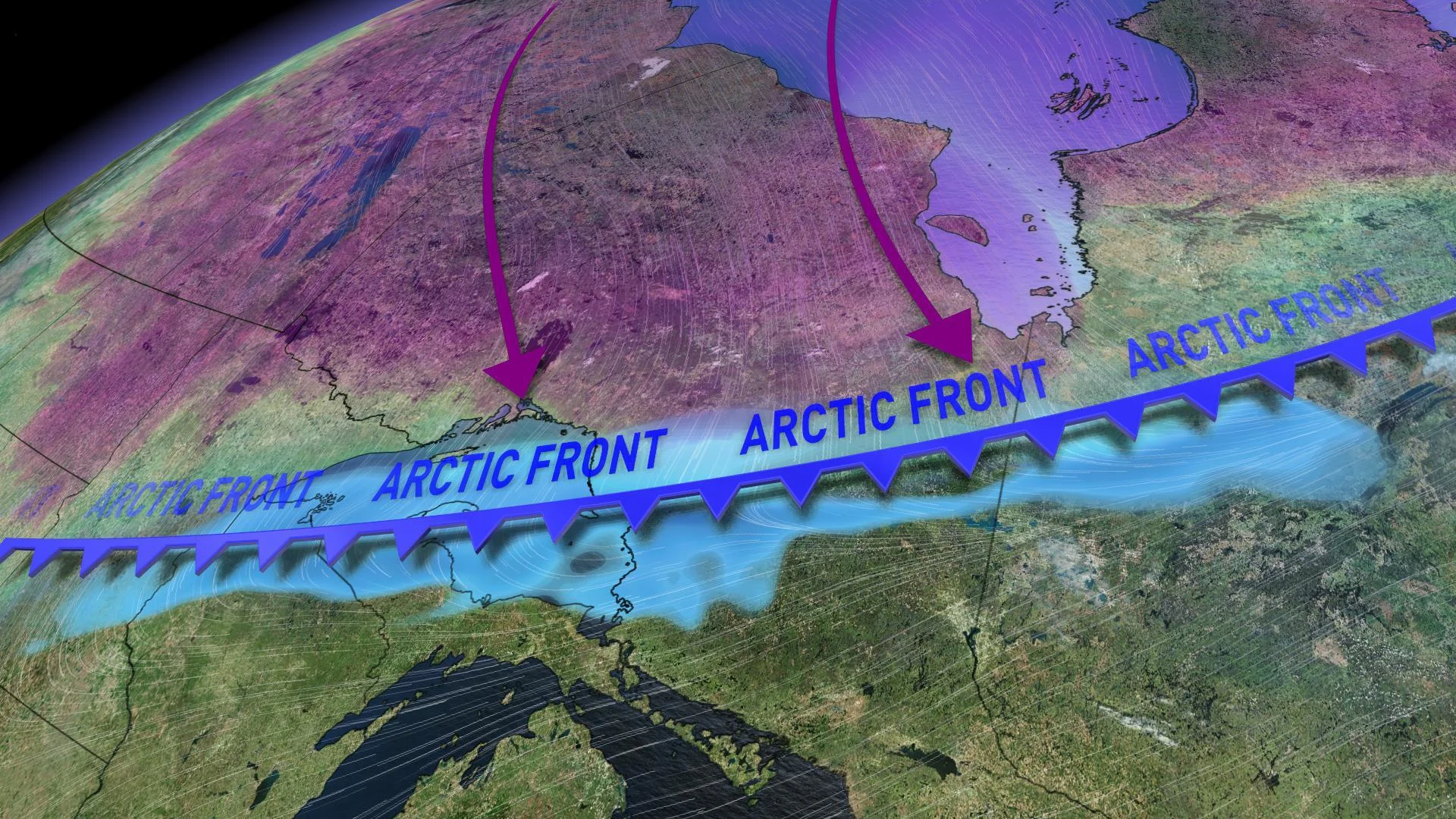
Behind the system, temperatures will take a significant nosedive on Friday.
FRIDAY/SATURDAY: COLDEST TEMPERATURES OF THE YEAR KICK OFF THE FAMILY DAY WEEKEND
Colder air will descend behind Thursday's system, bringing a blast of bitter winter cold for the start of the Family Day long weekend.

Temperatures will drop by as much as 10 degrees across the region for Friday and Saturday, with wind chills ranging from the -20 to -30s. Saturday morning looks to feature some of the coldest temperatures of the winter season so far.
"While it's nothing exceptional for this time of year, it will be a shock to the system in a winter that has had minimal Arctic air," says Weather Network meteorologist Dr. Doug Gillham.

A weak system will track across southern Ontario Saturday night with a dusting of snow possible for the GTA and a few centimetres of accumulation across cottage country. By Family Day Monday, near seasonal temperatures with a mix of sun and cloud will dominate.
MILD WEATHER DOMINATES SECOND HALF OF THE MONTH
Much like how this winter has gone to date, the blast of bitter cold will be pretty short-lived as temperatures quickly rebound through the weekend and into next week. In fact, there are no signs of consistent cold right through the end of February.
"Mild Pacific air will spread across Canada for next week. This will bring an extended period that will be dominated by above seasonal temperatures that could last until the end of the month," Gillham says, adding that we can still see snow even in a milder pattern.
Stay with us here at The Weather Network for all your latest forecast updates.