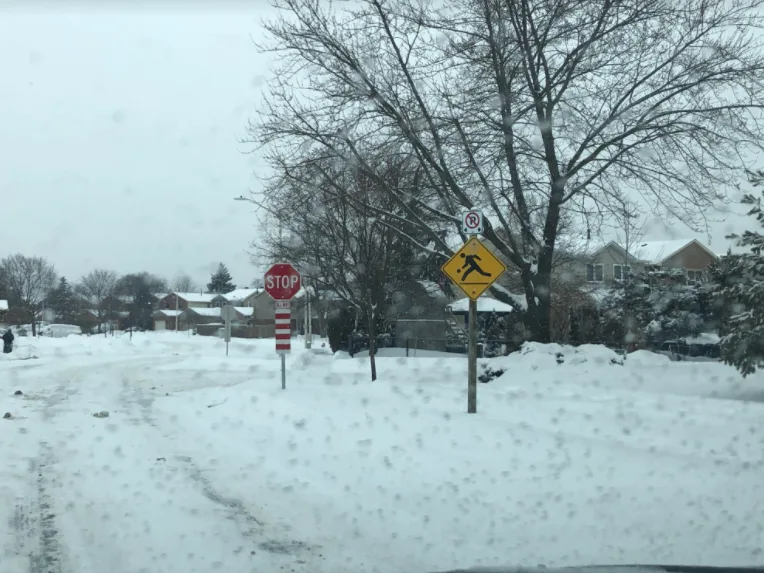
Persistent snow makes a mess of the roads across southern Ontario

Friday commute times will be jeopardized across parts of the Greater Toronto Area as the lingering snow with this latest system continues through the afternoon hours.
A dangerous U.S. system that began clipping southern Ontario Thursday will continue to have some lingering effects lasting into Friday.
Winter weather travel advisories were re-issued first thing Friday morning, warning of the continued snowfall and difficult travel, especially for western sections of the GTA. Morning commute times will likely be jeopardized, as drivers are urged to leave extra time amid the poor conditions.
As the snow tapers to flurries through the mid-day mark, the focus then shifts to another weekend system that threatens another widespread 5-10 cm of snow. More on the timing and impact, below.
WEATHER HIGHLIGHTS:
System continues into Friday morning, with some significant lake-enhancement for western Lake Ontario
Generally 5-10 cm for the southwest, with lake-effect enhanced amounts of 10-20 cm for parts of the GTA
Winter travel advisories in effect for Toronto and Halton and Peel regions
FRIDAY MORNING: WIDESPREAD SNOW CONTINUES, COMMUTE TIMES JEOPARDIZED
This latest wintry system began impacting southern Ontario Thursday afternoon, but its general snowfall effects of the 5-10 cm that was forecast were dwarfed by the real show: Lake-enhanced snow squalls along Lake Ontario's western edge.
Weather advisories were issued early on for the city of Toronto as well as Peel and Halton regions as the snow squalls began to pick up, and though the afternoon featured somewhat of a lull, fierce snow squalls affected parts of the GTA overnight, prompting warnings for places including Mississauga, Oakville, Burlington, and Brampton, where the threat for up to 20 cm was there.
While those squalls have come to an end, widespread light snow is expected to persist through Friday morning, adding further complications to the storm clean-up.
A winter weather travel advisory was also re-issued for the same regions once again first thing Friday, warning drivers to leave extra time to reach their destination. Drivers should also be aware that there may be impacts to morning travel, especially on neighborhood streets and local roads that haven't yet been plowed.
"If your commute takes you over long distances, don't be surprised to see large differences in snowfall accumulation, due to the very localized nature of snow squalls," says Weather Network meteorologist Michael Carter.
The snow will diminish to lingering flurries by mid-day, but temperatures will remain below seasonal with a northwest wind.
WEEKEND: IDEAL FOR OUTDOOR WINTER SPORTS, BUT WITH THREAT FOR MORE WIDESPREAD SNOW
Fair weather and near seasonal temperatures are expected for the weekend, which will make for some ideal conditions for enjoying any outdoor activities.
Another system is expected to develop late Sunday and into Monday, however, with the potential to bring another 5-10 cm of snowfall to southern Ontario Sunday night and into Monday. Temperatures will be milder during the afternoon Sunday, rising above freezing across most of the region.
By next week, milder weather is expected to return, with near or slightly above seasonal conditions marking the final week of February.
WATCH BELOW: ONTARIO SKI RESORTS REOPEN
Be sure to check back for updates on the active winter weather making a comeback across Ontario.
Thumbnail image courtesy: Renforth, Ontario