Double-digit temperatures poised to return to Ontario

After a decidedly winterlike blast of snow earlier this week, a slow warmup left Ontarians feeling more like early spring by Wednesday, with showers in the evening hastening the melt. It'll dry out Thursday, and be warmer still, with double-digit highs for much of the south, though eastern Ontario misses out. A more detailed look at what's next, below, below.
WEATHER HIGHLIGHTS:
Showers linger somewhat into Thursday morning, ending soon enough
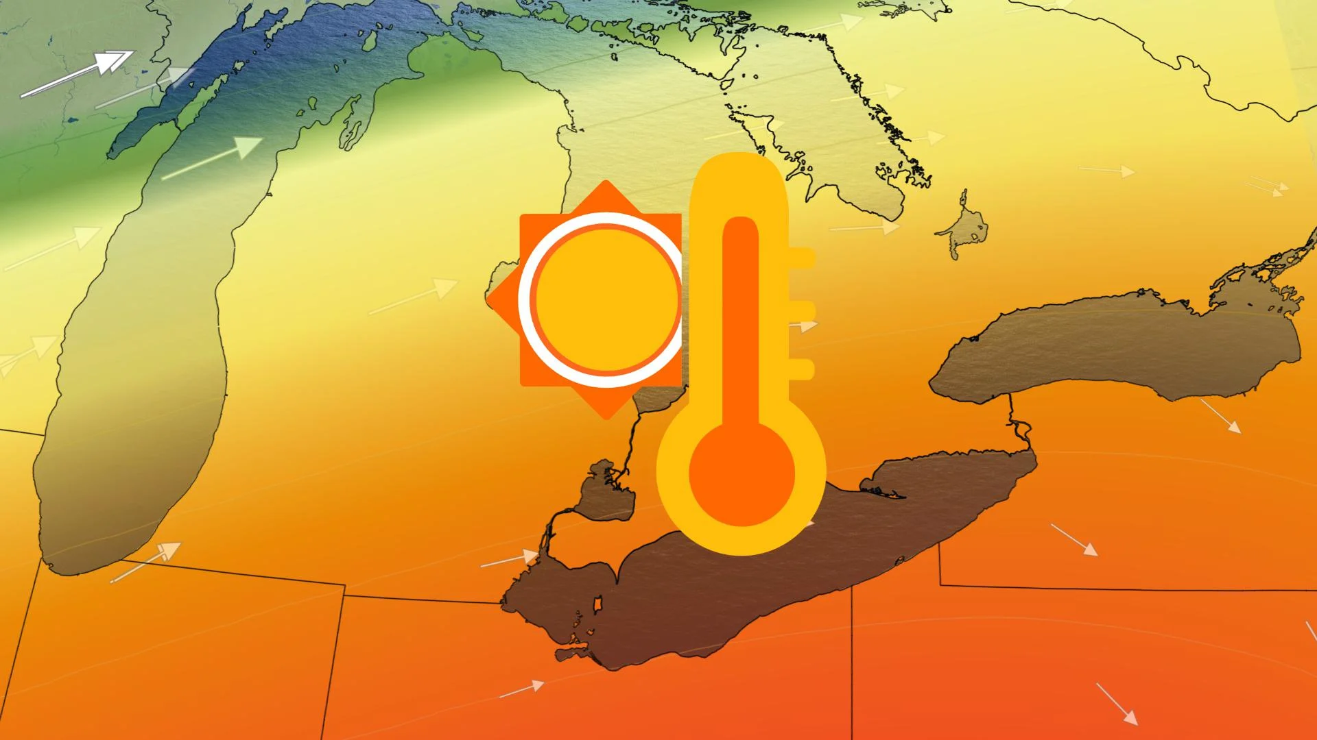
Double-digit daytime highs expected across the south for Thursday and Friday
Active pattern sets-up for the start of December
THURSDAY: RAIN SHOWERS TAPER, DOUBLE-DIGIT HIGHS RETURN
Additional rain will linger somewhat into Thursday morning, but the showers will be more scattered in nature before they push out of southern Ontario altogether.
Clouds will mix with some periods of sunshine through the afternoon as temperatures begin a more significant climb once again.
Daytime highs look to reach the double digits across parts of the south on both Thursday and Friday, but that mild weather will not reach the eastern parts of the province, where temperatures will still be hovering in the low single digits over the same period.
LOOK AHEAD: VERY UNSETTLED PATTERN LOCKS IN FOR START OF DECEMBER
After a mostly fair and mild weekend that continues to bring above seasonal temperatures, forecasters are closely watching for a very unsettled pattern that develops early next week thanks to a highly amplified jet stream that will develop over the eastern U.S.
"Areas of low pressure will develop and keep unsettled weather across the region into the middle of next week, but the exact tracks and impacts are highly uncertain," says Weather Network meteorologist Dr. Doug Gillham, adding that heavy rain is likely for parts of the region, with the potential for a band of heavy wet snow to develop on the back side of the early week system.
"We are watching signs that this region will transition into a more consistent and typical early winter pattern for two to three weeks as we head into the second week of December," Gillham says.
Stay tuned to The Weather Network for the latest forecast updates.


