Snowy, messy start to 2022 looms for much of southern Ontario

It's beginning to look a lot like a snowy start to 2022 for much of southern Ontario, though some uncertainty remains.
A fine line between above-zero warm temperatures, and temperatures at or near zero, will set the tone for two incoming systems, the first arriving New Year's Eve. Though it will begin as rain, with perhaps some light snow for areas north of Lake Erie and Lake Ontario, a second round Saturday night into Sunday will feature more widespread snow. What we expect, below.
NEW YEAR'S EVE/DAY: RAIN OR SNOW? THAT DEPENDS ON WHERE THE TEMPERATURE DIVIDE LANDS
What we can say with certainty is that there will be a series of systems nearing southern Ontario as we head into the weekend, so there will be plenty of moisture to work with.

A knife’s-edge temperature divide running right through the south of the province will dictate precipitation types this weekend. Temperatures along and slightly inland of Lake Ontario and Lake Erie, including most of the GTA, will reach a few degrees above zero Saturday, with even overnight lows not excessively cold, while areas further to the north will be at or near the freezing mark.

Presently, it looks as though precipitation will likely begin as rain for southern areas close to the GTA and as light snow farther to the north toward cottage country overnight Friday into Saturday, and similarly in Montreal. Amounts from this round will be on the lighter side.
But colder air will begin to advance southward overnight Saturday into Sunday, allowing precipitation to change over to a period of freezing rain and ice pellets before ending as widespread snow on Sunday morning, with some heavy amounts possible for areas further north of Lake Erie, Lake Ontario, and the GTA. Montreal, too, sees a switchover to widespread snow.

The storm’s precise track will make a huge difference in what kind of precipitation each community will contend with during this storm.
A more northerly track would keep warmer temperatures more firmly entrenched over southern Ontario, keeping precipitation as rain or ice for longer, while a more southerly track would allow colder air to spill in and force a faster changeover to ice and snow.

There's still some uncertainty in the exact tracks of these systems. Small changes will affect precipitation types and amounts.
Forecasters are confident, however, that 2022 will definitely start off unsettled beyond this weekend’s systems.

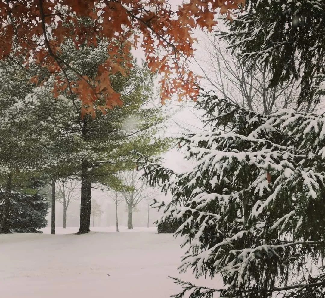
Thumbnail courtesy of Iris Chong Thornhill in Toronto, Ontario.
Check back as we continue to monitor the New Year's forecast.