It never ends: Snowfall forecast for these six provinces this week

A number of provinces will see high-elevation snow this week due to a deep trough and cold air spilling west.
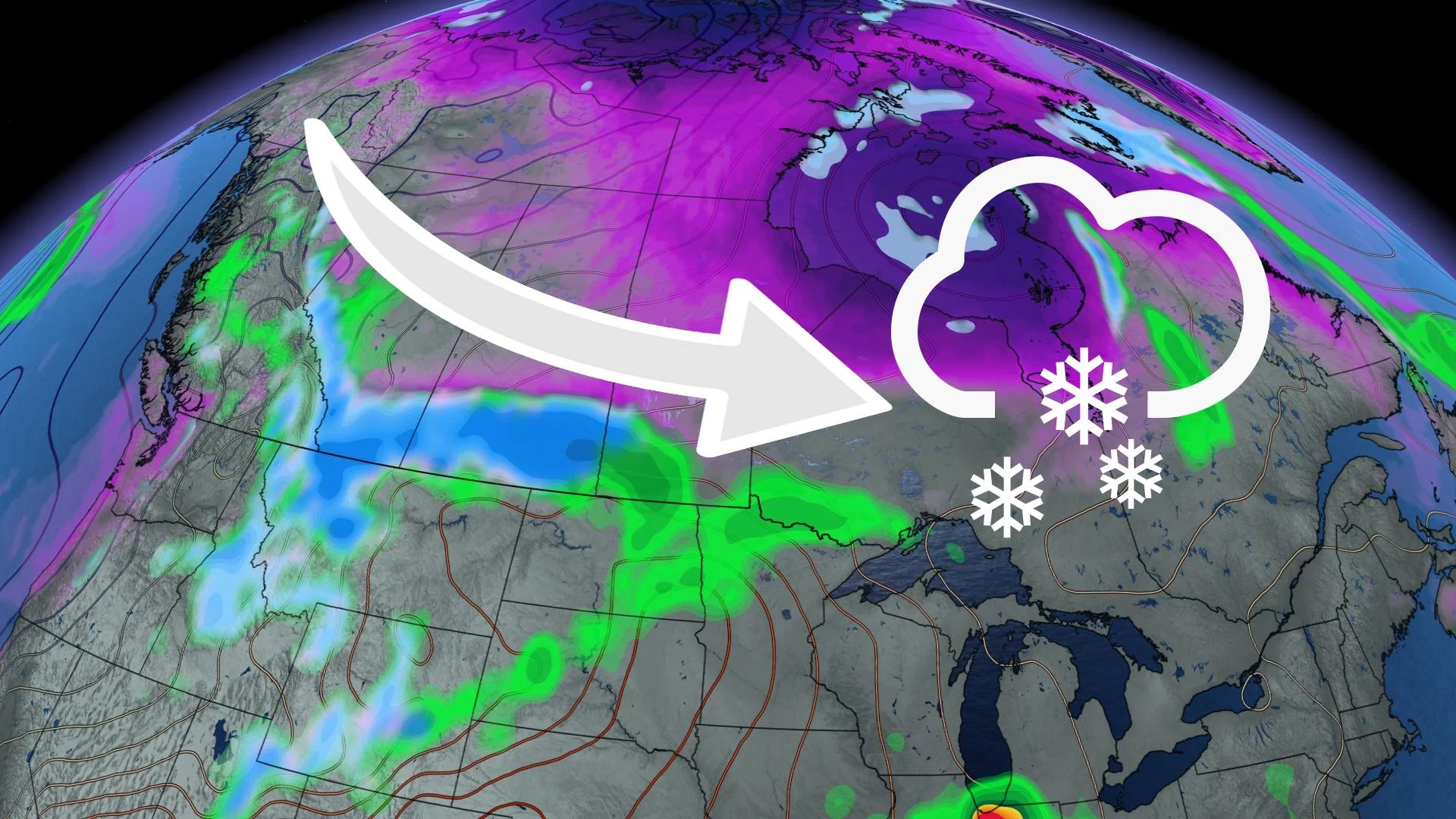
Most of Canada has experienced a taste of summer over the past week, but the national weather pattern is changing. A ridge that has been parked over central North America is weakening and a number of troughs from the Pacific and Hudson Bay are taking over.
This week the Pacific trough will spawn several weak systems for the southern Prairies by drawing Gulf of Mexico moisture north and pulling Arctic air south.
This cold air will fuel a late-week storm that could bring a swath of snow through Alberta, Saskatchewan, Manitoba, Ontario, and Quebec. The greatest chance for impactful snow will be Friday in northwestern Ontario.
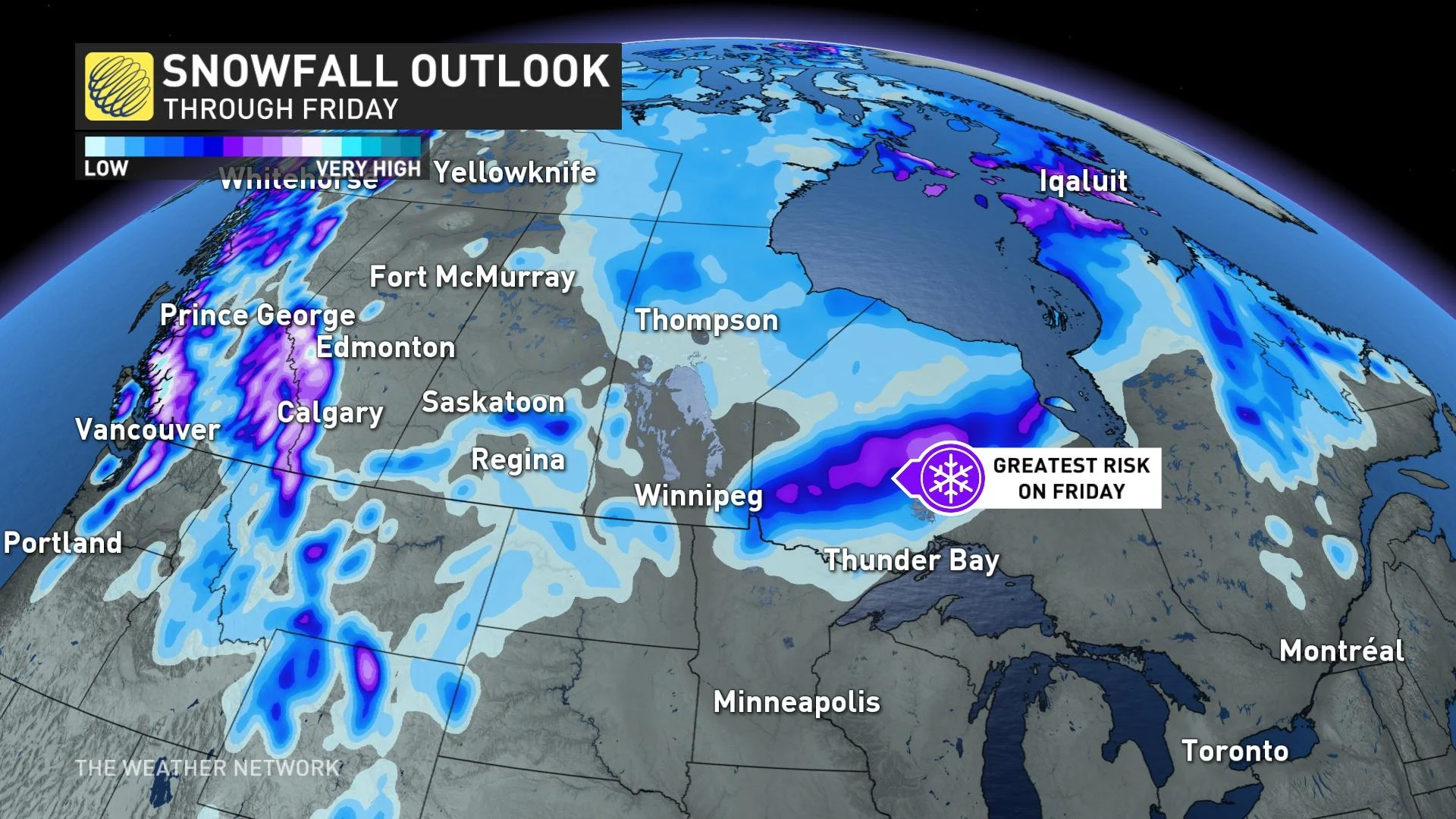
British Columbia is also seeing the chance for snow levels dropping to the mountain passes from Tuesday through the end of the week.
As we inch closer to summer, snow becomes more of an unusual occurrence. Since record-keeping began in the late 1800s, Calgary has received snow 21 times after May 20. Calgary’s high-elevation increases those odds compared to Medicine Hat and Saskatoon, who have only seen snowfall after May 20 just six times.
Two main factors for this forecast will be the amount of cold air that is driven south by the low over Hudson Bay and the weak mid-week system.
The location where the late-week storm forms will also be a major factor. If the system forms in Colorado, this would mean more Gulf warmth and less Arctic air, but if it forms over Wyoming or Montana, cold air will be a bigger player and could result in more snowfall.
However, it is important to note that long-range models have their biases and warmer air may become more prominent as the week progresses, which could result in only a couple of heavily populated areas seeing snowfall.