Incoming atmospheric river prompts flood risk across British Columbia

Heavy rainfall is on its way once again for B.C., with significant storm totals prompting a dangerous flood threat.
. More on the timing and impacts to keep an eye on, below.
THIS WEEK: ROUNDS OF RAIN, WARMER TEMPERATURES HEIGHTEN FLOOD THREAT ACROSS THE LOWER MAINLAND
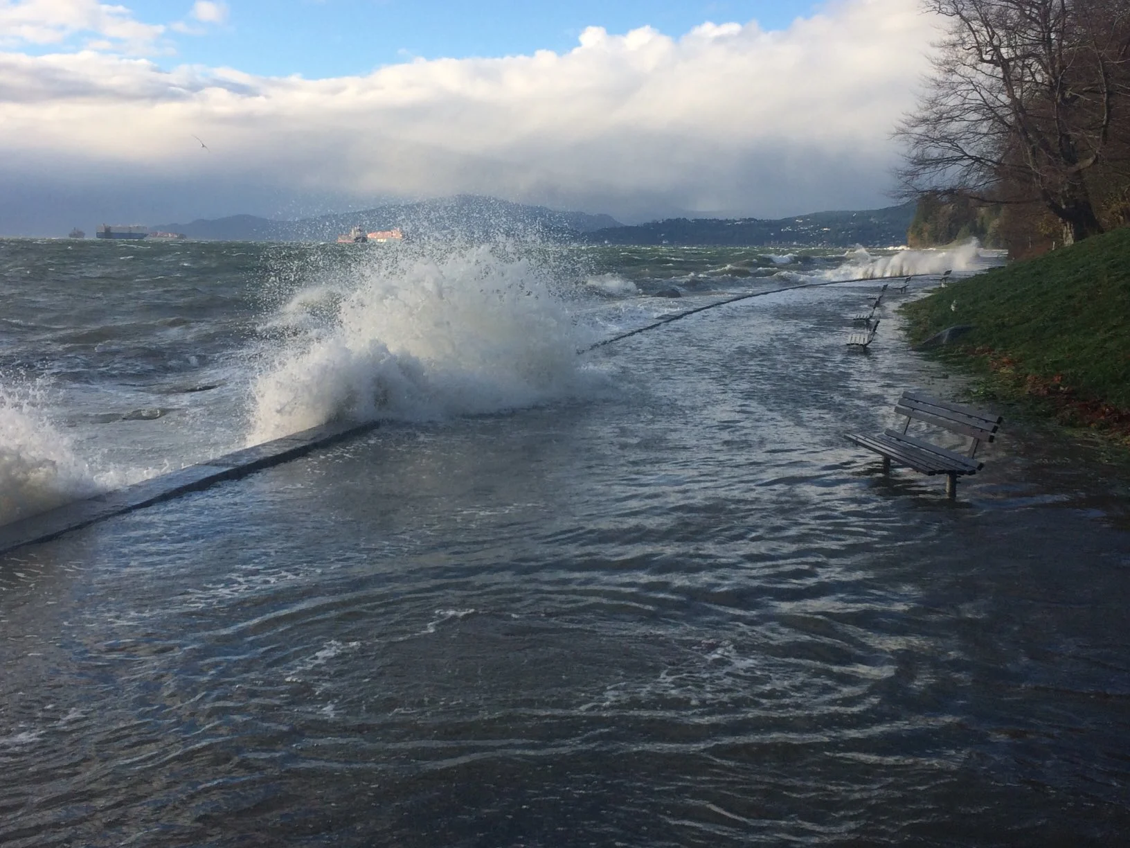
Special weather statements already span B.C.'s Lower Mainland, including Metro Vancouver and Vancouver Island, Howe Sound and the Sunshine Coast, with a warmer and wetter pattern on tap for this week. Localized flooding and high stream levels are of major concern.
The B.C. River Forecast Centre has also issued a high streamflow advisory and says areas that experienced flooding in November may be more vulnerable for flooding, due to erosion and higher baseflow conditions.
"The public is advised to stay clear of the fast‐flowing rivers and potentially unstable riverbanks during the high‐streamflow period," the advisory reads.
The rising temperatures alongside the potent lows slowly melt some of the recent snow in lower elevations, hopefully reducing the snow load for buildings and structures.
Rain
The third system, however, an atmospheric river, is set to move ashore Tuesday night, as a strong southwest flow develops, continuing well into the morning hours on Thursday. This system will be the one to keep a close eye on, bringing the heaviest amount of rain to the region.
"It's going to rain for 72 straight hours across the Lower Mainland," warns Tyler Hamilton, a meteorologist at The Weather Network.
While the amount of rain over this period of time is not unpredecented, other factors at play could cause some "havoc," Hamilton says.
Embedded content: https://twitter.com/50ShadesofVan/status/1480296351405686786</a
Rivers are expected to start rising on Tuesday and will likely peak Wednesday or Thursday.
While January is typically known as a wet month in Vancouver with an average of 160 mm of rain, just this week alone could bring as much as 100 mm to the area.
Residents are being urged to clear catch basis from snow, and to make sure appropriate emergency supplies are on hand.
Thumbnail courtesy of John Soos/Twitter.
Be sure to check back as we monitor the wet and warm pattern threatening B.C. this week.