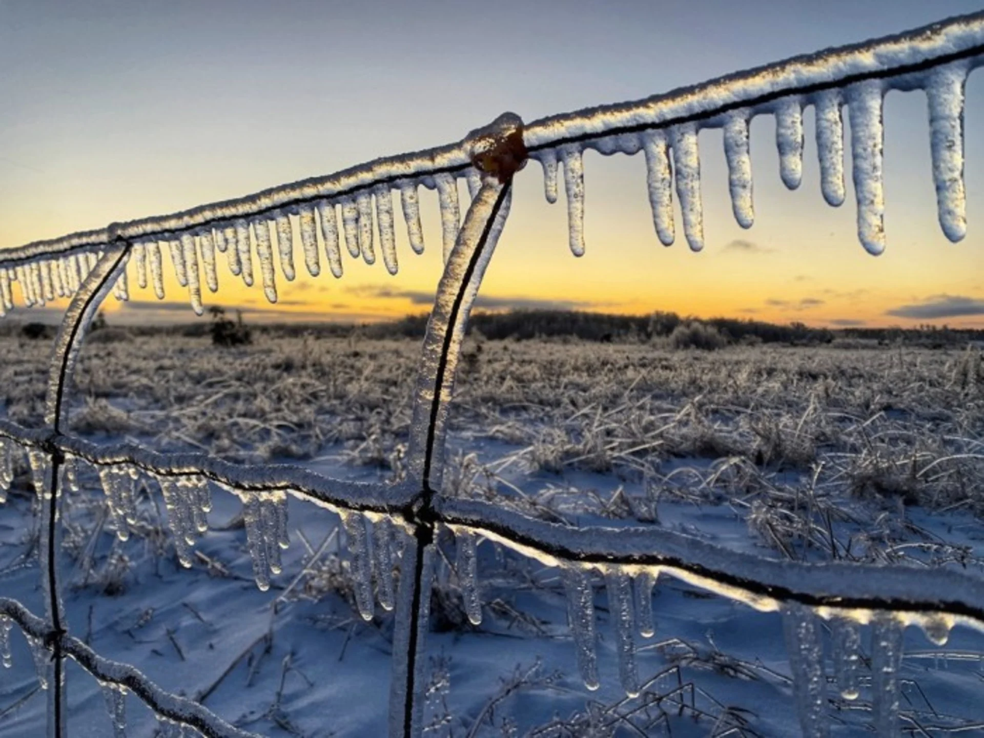
Sunday, January 12th 2020, 7:15 pm - Potent winter storm brought record-setting rainfall, hours of freezing rain, localized flooding, ice buildup and widespread power outages.
The storm has now exited most of southern Ontario, but it didn't leave without landing a few parting shots for parts of the region Sunday. Following a hours of freezing rain, more than 20 mm of ice built up on surfaces in places such as Shelburne and Hopeville, and locally heavy snow Sunday morning made a mess of area roads.
At 10 a.m. Sunday, Hydro One reported more than 11,000 customers without power, the majority of them between Kincardine and the northern GTA, but that number was down to around 3,000 by 7 p.m.
Enough rain fell earlier Saturday that it shattered rainfall records in some areas including at Toronto Pearson International Airport, which received close to 60 mm of rain.
With the colder temperatures Sunday, standing water froze across much of the province, and many spots that managed to avoid freezing rain Saturday saw icy scenes as flooded areas freeze over.
Some roads were closed as a result of the flooding Saturday including in Toronto, where officials shut down the southbound Don Valley Parkway from Bloor Street to the Gardiner Expressway. Though the situation was improving through the day Sunday, water levels remained high, with the London Fire Department having to rescue two people from the swollen Thames River.
Here are some of the latest photos and videos being circulated on social media.
A view of our #Nith river here in Wellesley Township the day after record rainfall. It has started to drop, but still an incredible amount of water. And it's moooovin'! 😬😲💧 #ONStorm #wellesley @weathernetwork
Jenn 🇨🇦 on Twitter
Canadian basketball, First basket wins!!! #IceStorm #OnStorm #CanadianBasketball #Basketball
Kriztoper 🇨🇦 on Twitter
Some more flooding pics from @PerthCounty today. #Onstorm As I said earlier...please stay away from waterways.
William R. Hunter on Twitter
Some more photos of the insane ice accretion and tree damage from last night's storm. We found local hotspots for max accretion to be in Hopeville, Damascus, and along county roads south of Shelburne. #ONstorm @ONwxchaser @Crossfit_ftb
Isabel on Twitter
The Don River was raging this morning after a record setting-rainfall. Some areas of the trail were completely impassable due to flooding #ONStorm
Jeff Dickie on Twitter
Damage in Shelburne #ONStorm
Tricia Moon 🎵🎹🎶 on Twitter
Took these photo's at the Egerton Street bridge in #LondonOntario around 1:30pm on Sunday, January 12th 2020 to show how high the #Thamesriver(#AntlerRiver) was after the heavy rain. 1st tooking looking east & 2nd 2 looking west. #ONstorm
Occupy WSIB on Twitter
Whoops. Power lines lying low entangled a plow south of Shelburne. @weathernetwork #onstorm https://t.co/dxQsN4amap
Mark Robinson on Twitter
@weathernetwork close to 24 hours later...ice pellets on the freezing rain and now snow. Again, may the winds not blow! #ONstorm #GreyhighlandsON https://t.co/O4E6E9zFM9
Kimberley Briggs on Twitter
Extensive tree damage in the Shelburne area! #ONStorm #onwx #IceStorm2020
David Piano on Twitter
Many scenes like this around The Shelburne area this morning. #ONStorm
Chief Lemaich SDFD on Twitter
ONStorm
Janina Lucci on Twitter
New Hamburg flooding
Nate Leis on Twitter
Thumbnail courtesy of Mark Robinson.