How the driest places on Earth can see mammoth flooding rains

“It’s a real monsoon out there,” we like to say during a summer’s downpour. But is that real monsoon really a monsoon at all?
A sudden burst of heavy rain shattering the monotony of a stifling summer’s day can be a refreshing treat. Downpours, torrents, gully washers—there are plenty of terms for them, but none carries the punch of a monsoon. “It’s a real monsoon out there,” we like to say. But is that real monsoon really a monsoon at all?
Seasonal wind shifts can bring months of drenching rains
That midsummer downpour is an impressive flex of a moisture-laden atmosphere’s muscles, but a fleeting afternoon thunderstorm is no match for the might of a true monsoon.
Monsoons are seasonal shifts in weather patterns in certain parts of the world.
Most of us live in relatively temperature climates with distinct seasons that track with the Earth’s orbit. The chill of winter thaws into the throes of a wild spring. Spring’s flowers wilt as summer’s sun grows hotter, and the process runs full-circle as fall wanes to winter once again.
While temperate parts of the world define seasons based on temperature changes and leaves falling off the trees, there are vast swaths of the planet where weather conditions remain largely the same all year. The climate in these areas, such as India and the United States’ desert southwest, splits between the dry season and the wet season.
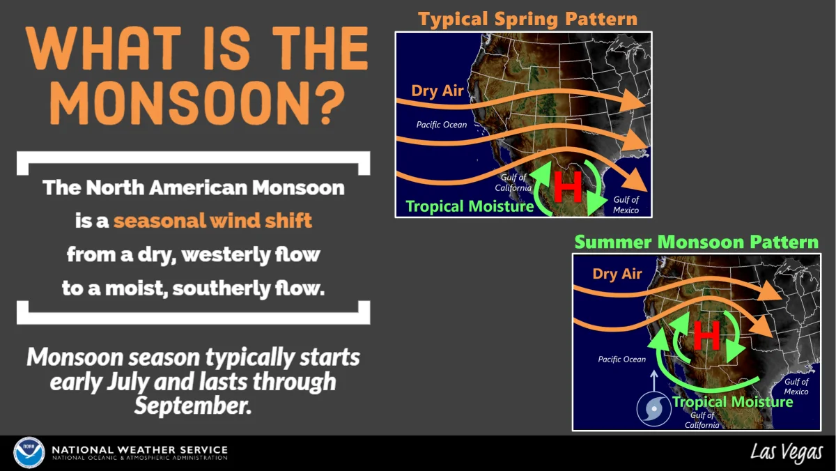
An infographic from the National Weather Service explaining the North American Monsoon. (NOAA/NWS)
MUST SEE: What is Africa's Great Green Wall and how could it affect the climate?
Most of Canada experiences steady precipitation year-round, with an uptick in amounts during the summer months and precipitation amounts easing off for the long, cold winter. Areas that experience monsoons, on the other hand, usually see wild gyrations in precipitation patterns—with a few exceptions, the contrast can be as extreme as all or nothing over a few months.
Annual weather conditions in parts of India, for instance, can swing wildly between bone dry and awash with moisture depending on seasonal patterns. The seasonal wind shift that brings the rain is called a monsoon. Monsoonal flow sends moisture surging inland, leading to weeks of torrential rain that can often be measured in metres.
WATCH: How orographic lift drenches mountainsides in plentiful rain
Monsoons are responsible for impressive rains around the world
A small town in northeastern India holds the distinction as one of the rainiest places on Earth. Cherrapunji, a high-altitude town nestled in the hills just north of the India-Bangladesh border, receives around 12,000 mm of rainfall in an average year.
Cherrapunji’s precipitation bonanza is fuelled by annual monsoonal flow off the Bay of Bengal running up the side of the hills and mountains. This process, called orographic lift, can wring out the atmosphere like a sponge and turn that moisture into an incredible deluge.
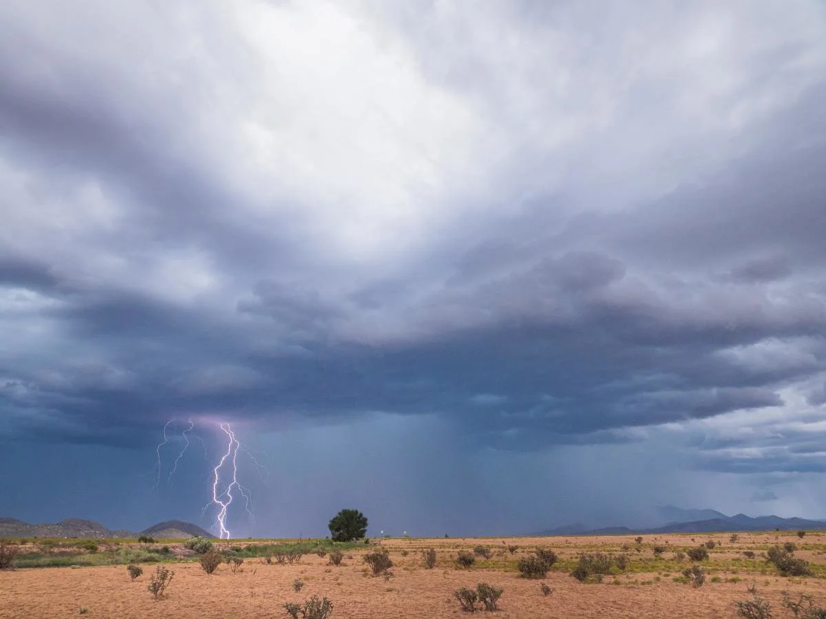
A thunderstorm drenches the desert during monsoon season in New Mexico. (Photo by Raychel Sanner via Unsplash)
Monsoons are more modest in other parts of the world. The U.S. Southwest experiences a monsoon in June and July as a centre of high pressure over northern Mexico funnels in tropical moisture from the Gulf of Mexico and Gulf of California.
Daily thunderstorms over Arizona, for instance, can quickly put down more than 25 mm of rain in a hurry. The region’s sandy, impermeable soils can’t absorb the sudden onslaught of water, often leading to flash flooding that can extend many kilometres from the storm—even flooding out areas under sunny skies. Many hikers have close calls and worse when they’re caught in arroyos, the dry desert river beds that can suddenly fill up with runoff from faraway thunderstorms.
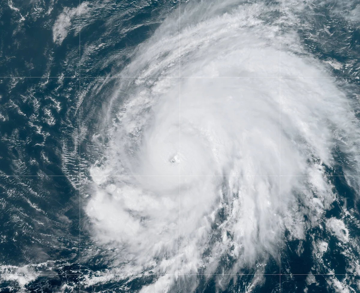
2019’s Hurricane Lorenzo started life as a tropical wave off the coast of Africa and grew into a category five storm with maximum winds of 260 km/h. (NOAA))
While it’s not as impressive as other monsoons elsewhere in the world, there might not be a more globally impactful monsoon than the one that occurs every summer over sub-Saharan Africa. Waves of thunderstorms growl into existence and sweep from east to west across the continent beginning in the mid-summer and lasting into the fall months.
These tropical waves—vigorous clusters of thunderstorms—can then spill into the eastern Atlantic Ocean and serve as the nucleus for some of the most intense hurricanes ever to form over the ocean basin. Many of history’s worst hurricanes, including 1992’s Hurricane Andrew and 2005’s Hurricane Katrina, formed from tropical waves that originated over sub-Saharan Africa.
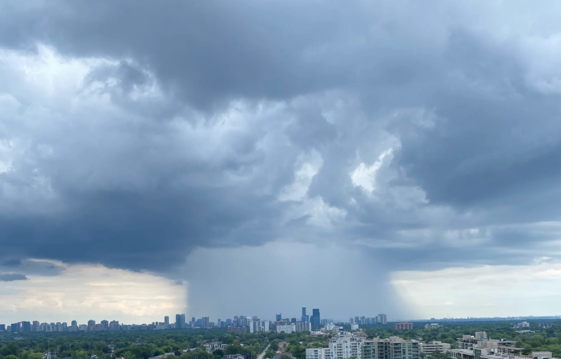
Thumbnail courtesy of Scott Coish in North York, Ontario.