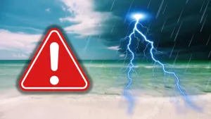
Historic storm meets historic fires, but B.C. flames will not be quenched

Remnant moisture from the tropical system drenching California will move into Western Canada this week, but it won’t be enough to help B.C.’s fires
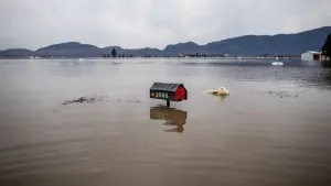
The remnants of what was once Tropical Storm Hilary continues to move north after drenching Southern California with historic rains. Flooded streets, downed power lines and mudslides impacted the region through Monday, with 100 mm of rain recorded in coastal areas, and as much as 250 mm in the mountains.
It was the first tropical storm to make landfall in Southern California since September 25, 1939, according to the U.S. National Weather Service.

The storm's prolific moisture will now flow north into Canada through the week, fuelling rain chances from British Columbia right through to Quebec.
Unfortunately, the rain won’t be enough to fully stifle the fires raging throughout B.C., which have forced thousands to flee their homes and sent air quality plummeting to dangerous levels.
RELATED: All eyes on weather as B.C. premier set to visit wildfire-affected areas
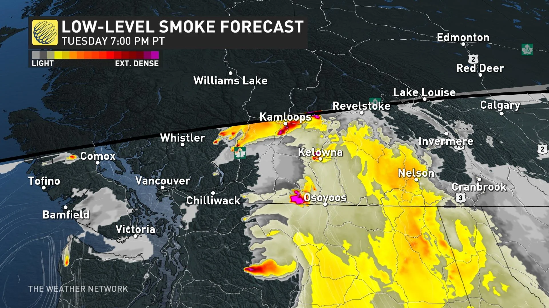
Significant fires burning near Kelowna and Kamloops have contributed to atrocious air quality readings throughout the region, forcing residents to stay inside or wear quality masks to avoid harm from the air pollution.
Air quality is beginning to show some subtle signs of improvement with the approach of a trough from the south. The increasing cloud cover will make for less aggressive wildfire activity over the next couple of days, limiting the amount of smoke and fine-particulate produced.
The smoke limited daytime highs on Monday, with the hot spot being Pemberton at 26.4°C. Temperatures will continue to dip below seasonal on Tuesday before another warm-up lurks on the horizon to finish off August.
Daytime highs are once again set to soar into the low-to-mid 30s away from the water, which could increase wildfire activity across the province.
Hilary’s remnants won't be enough for the fires
Hilary’s remnant moisture will flow into Western Canada through Thursday, bringing widespread clouds and bouts of rain to southeastern B.C.
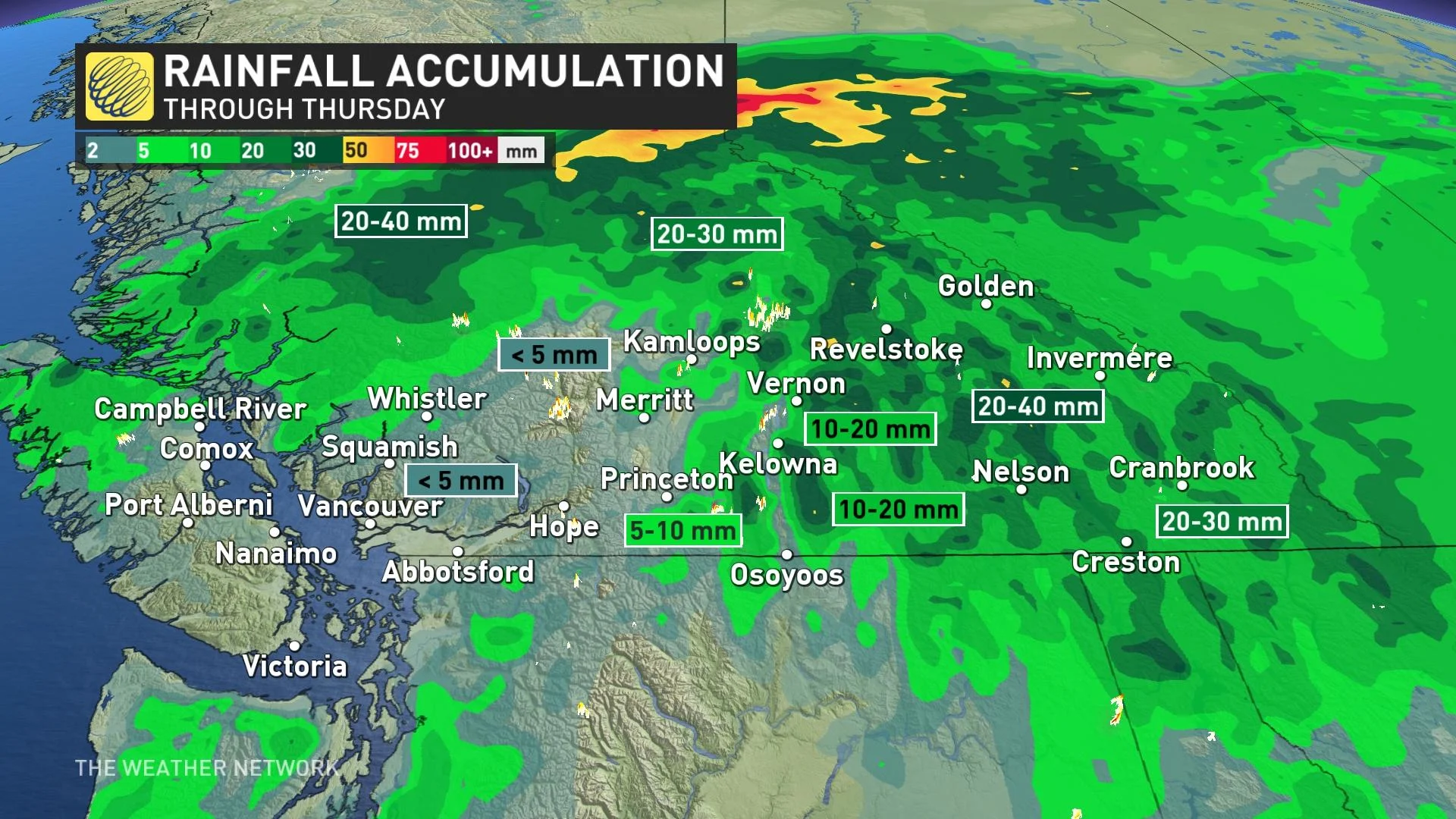
This rain will temporarily suppress wildfire activity across the province, but a lot of the significant rainfall will miss the complex of fires near and west of the Okanagan.
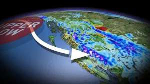
By mid-week, an upper low will swing in from the Pacific across the Rockies to bring scattered thunderstorms from the B.C. Interior to the Prairies -- adding localized rainfall accumulation to the region.

Stay tuned for the latest forecast update for Western Canada.