Blowing snow threatens southern Ontario again on Sunday

Southern Ontario could deal with another bout of blowing snow on Sunday before temperatures rise ahead of the next system.
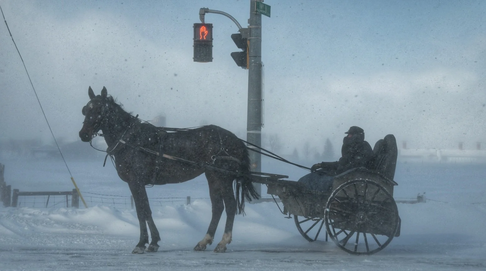
Saturday saw dangerous snow squalls trek across southern Ontario, bringing periods of whiteout conditions that led to dozens of wrecks and multiple road closures. We could see another spell of blowing snow on Monday before temperatures rise ahead of an early-week storm. More on what to expect for the rest of this long weekend and beyond, below.
PHOTOS: Intense snow squalls spread whiteouts over southern Ontario
SATURDAY NIGHT INTO SUNDAY: A BRIEF LULL BEFORE WINDS, BLOWING SNOW PICK UP AGAIN
Folks across southern Ontario will catch a brief break from the action Saturday night as winds calm down and allow the blowing snow a chance to settle.

Our next system moving across Ontario will bring heavy snowfall to northern parts of the province, with 10-20 cm of snow expected along the northern shores of Lake Superior through the day on Sunday.
Winds associated with this next system will reach southern Ontario during the day on Sunday, gusting as high as 80 km/h at times for some areas. This next round of winds will lead to more blowing and drifting snow, which will create another round of hazardous driving conditions, especially in exposed areas like roads near open fields.

Ontario will feel the influence of a ridge of high pressure building over the eastern half of Canada by Sunday, allowing high temperatures in southern Ontario to climb back above freezing for the day on Sunday. Highs in the low to mid single digits will aid with any remaining snow cleanup efforts.
SEE IT: ROADS DISAPPEAR AMID BLIZZARD CONDITIONS IN SOUTHERN ONTARIO
MONDAY AND BEYOND: WARMUP PRECEDES MORE UNSETTLED WEATHER
The above-freezing temperatures will last into our Family Day on Monday. We’ll start to feel our next storm by Monday night as a warm front approaches southern Ontario.

Southerly flow behind the warm front will allow temperatures to soar into the high single digits for the day on Tuesday, with double-digit readings possible in far southwestern Ontario near Windsor.
The track of the next system will determine which areas see snow, ice, and rain; a more northerly track would push the wintry weather farther north, while a southerly track could expose southern Ontario to a risk for more snow and ice.

Colder air will filter across the province behind this system, sending temperatures back below freezing by midweek. We could see another system approach the region by later in the week.
Check back frequently over the next couple of days as our meteorologists refine the forecast and help you stay ahead of whatever heads our way with the next couple of storms.
Subscribe to 'This Day in Weather History': Apple Podcasts | Amazon Alexa | Google Assistant | Spotify | Google Podcasts | iHeartRadio | Overcast
Stay tuned to The Weather Network for the latest on the forecast across Ontario.