B.C.: After strong winds, heavy snow, next round setting up

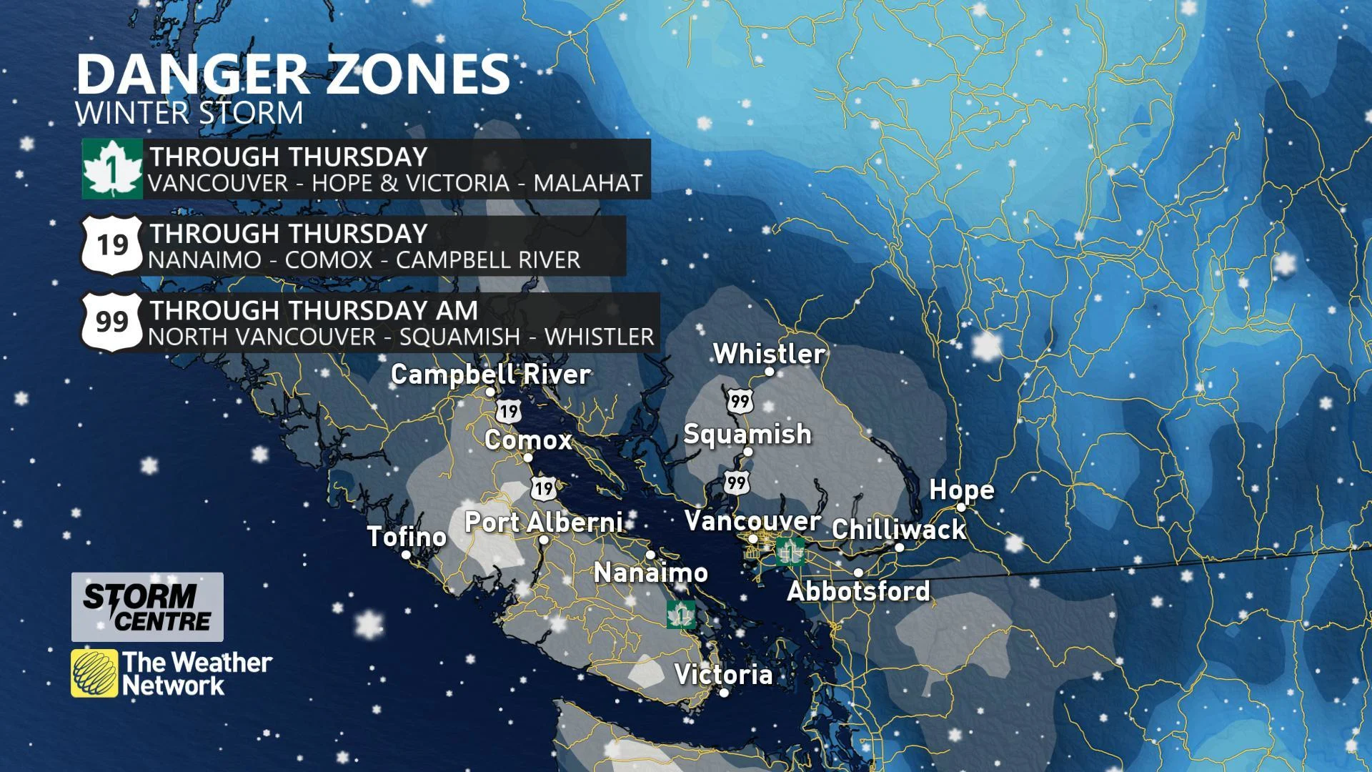
People at the coasts will see a relief from snow through the day Thursday, though Thursday will still see enough to make for difficult travel, while very powerful winds in the Strait of Georgia and Strait of Juan de Fuca will ease into the morning as well. There's another round of snow ahead, however, before B.C. can expect a return to more seasonal norms. What to expect, below.
January outlook: Checking in on winter in Canada with The Weather Network's Dr. Doug Gillham
WEATHER HIGHLIGHTS:
Snow lingers in the higher elevations through Thursday, making for difficult travel
Strong winds at the coast ease into Thursday morning
More moisture, surge of warmer air bring rain and snow to end the week
Stay aware of ALERTS in your area
THURSDAY: CONDITIONS EASE ON THE COASTS, SNOW CONTINUES IN THE HIGHER ELEVATIONS
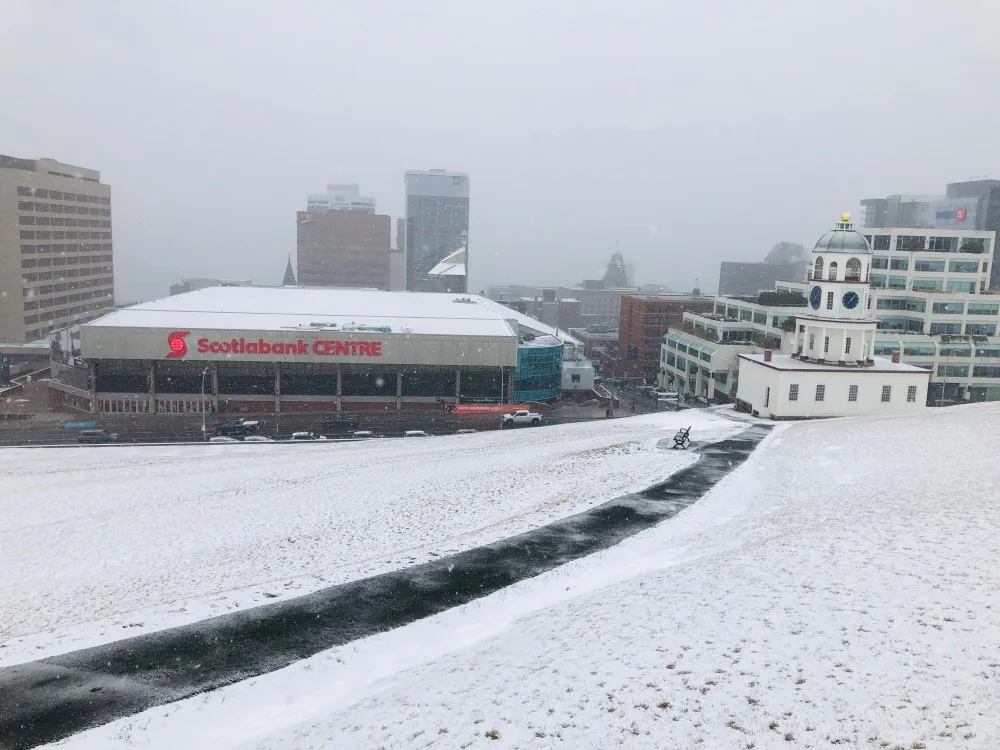
Vancouver and Victoria, famously exempt from the punishing snowfall that sometimes afflicts the rest of Canada, couldn't escape this week, thanks to lingering Arctic air that sent temperatures tumbling below zero and brought significant snow. The storm forced school closures and made travel difficult, while strong winds cancelled some ferry crossings.
Thursday morning will be somewhat more tranquil, with most precipitation done for the coasts and those punishing winds largely diminished. However, snow continues through Thursday for the higher elevations, making for continued difficult travel for one more day.
FROM THE MET DESK: FOCUS ON VANCOUVER ISLAND
INTO THE WEEKEND: MILDER AIR RETURNS, ROUNDS OF HEAVY RAIN AND MOUNTAIN SNOW CONTINUE
The harshest of the cold air will start to retreat later on Thursday, allowing temperatures to slowly creep up to the 0°C mark.
One last winter blast is ahead for the week, however, with the next wave of moisture reaching Vancouver Island by Friday afternoon and the mainland by Friday night.
FROM THE MET DESK: MAJOR SNOW IMPACTS FOR THE INTERIOR
This will manifest as a widespread snow at first, including for Vancouver Island and the Lower Mainland, but a surge of more seasonal temperatures will gradually shift the snow to the north, leaving rain behind for the coasts.
In a sense, this will mark a return to "normal" for the province, but all this snowfall in recent days will bring a double sting in the tail. Heavy rain on top of the snow may lead to rapid melt and localized flooding, while at the higher elevations, rising freezing levels will mean elevated avalanche risk going into the weekend.
Check back as we continue to monitor this setup.


