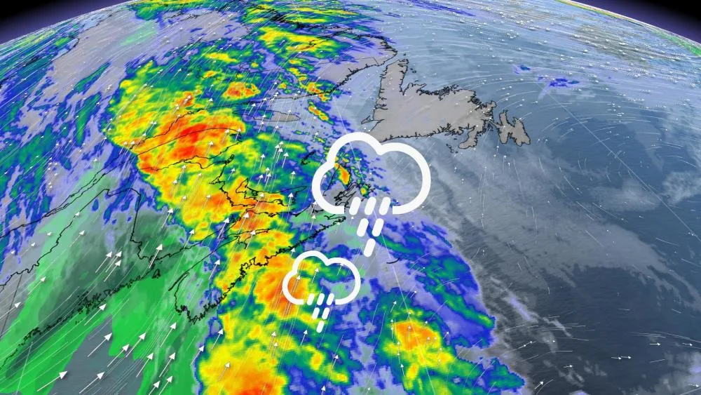
Rainy, windy system rolling through Atlantic Canada

Some sun and warmth for the Maritimes before a gusty storm comes in over the weekend.
An exciting mild few days for the Maritimes before a strong low comes in for the weekend. The system starts to come in Saturday evening, bringing heavy rain to the region. Strong winds are also possible Saturday night, with gusts that could reach 60 - 90 km/h. For a closer look, see below.
WEATHER HIGHLIGHTS:
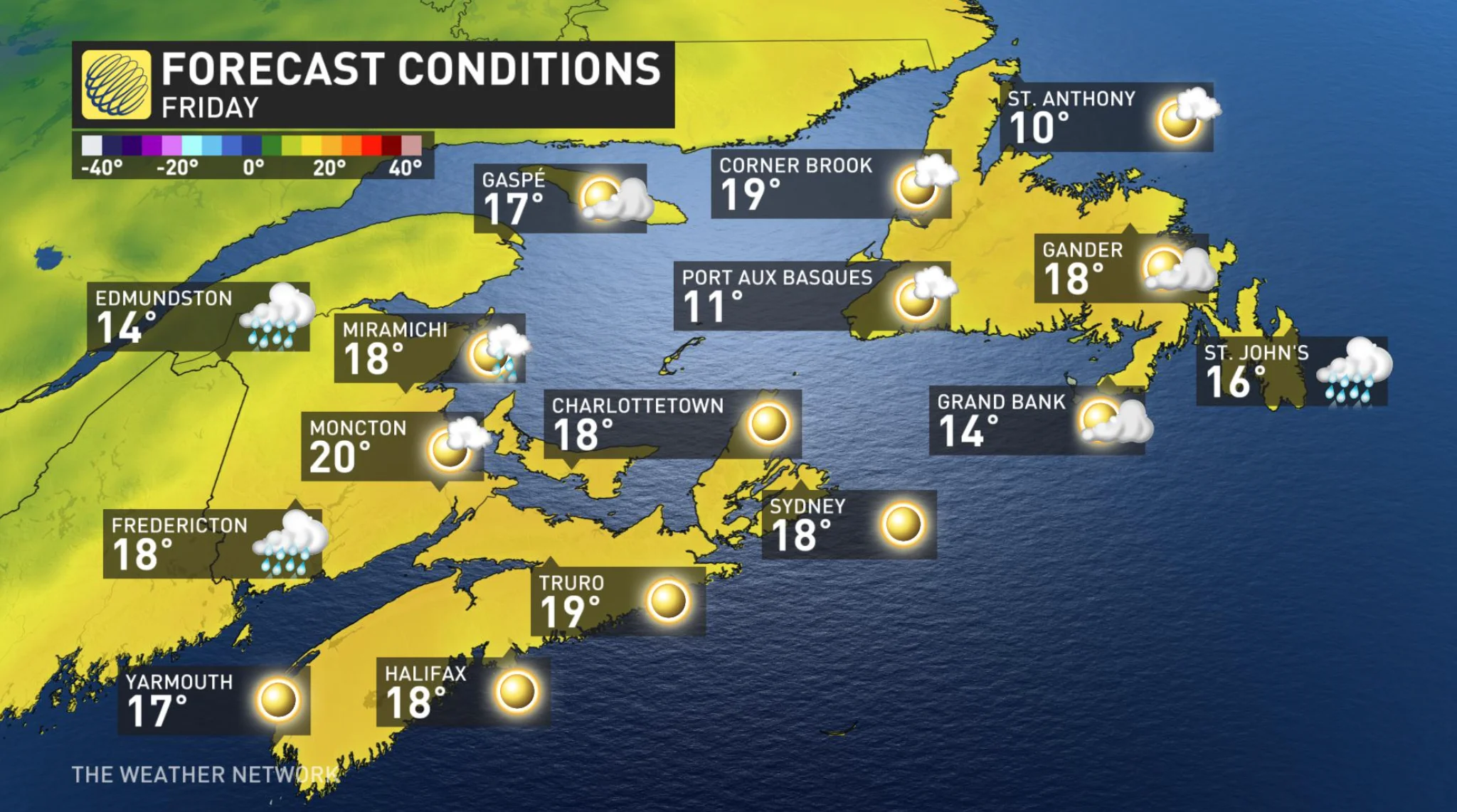
Temperatures increase and reach mid-to-high teens, peaks Friday
A low pressure system comes in late Saturday and into Sunday, risks including localized flooding and perhaps heavy winds
Rainfall amounts of 20-50 mm in Maritimes; up to 60 mm in southwest N.L.
THURSDAY AND BEYOND: HIGHER TEMPS AND UNSETTLED WEATHER
Friday and Saturday will be the warmest days of the week, with daytime highs jumping to the upper-teens even the 20-degree mark in the Maritimes. Newfoundland will also be on the mild side, with temperatures hitting the mid- and upper-teens for both of those days.
Beyond, more unsettled weather is expected on the weekend, as a strong upper-trough centred over the Great Lakes region will push through during that time with more rain.
The system starts coming in Saturday evening, bringing some strong winds. The window for those heavy winds is sequestered to a limited time overnight Saturday.
The real highlight of the Maritimes this week are those sunny and warmer days.
Check back with The Weather Network as we continue to update this story.


