Days of extreme heat could set new June records across Ontario
An extended heatwave will begin across southern Ontario this weekend, with the humidex pushing the feels-like factor close to 40.
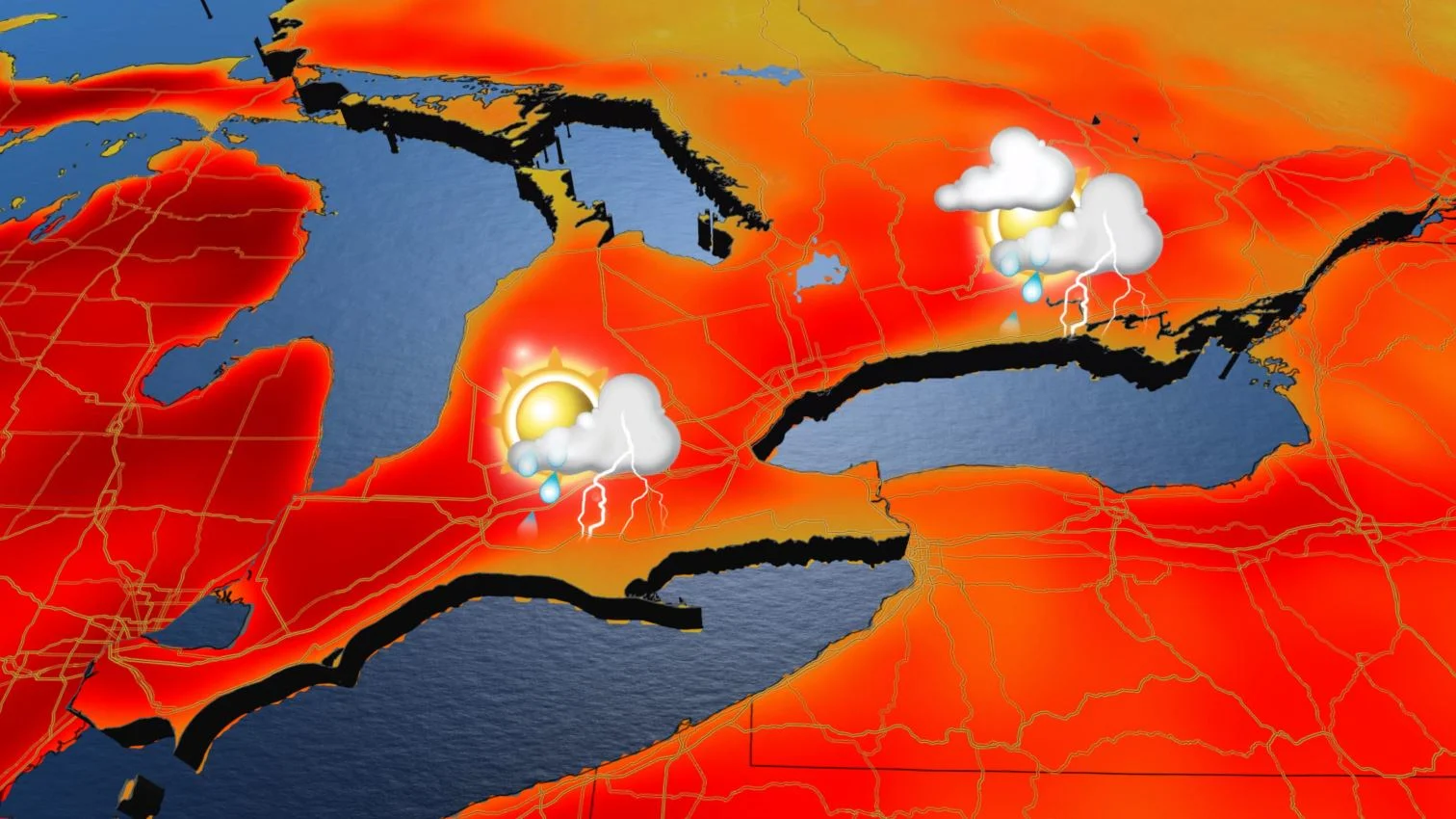
After some pleasant showers Thursday, Friday looks to be drier across southern Ontario, though a passing cold front could spark some thunderstorms here and there, with a dash of severe risk in the east. Beyond, high pressure settles into place, heralding a prolonged heat episode for the weekend and beyond. In fact, some places may end up seeing the earliest June heatwave on record, as daytime highs soar above 30°C. With the humidex, the feels-like factor could be nearing 40 by next week. More on this extended blast of heat, below.
Visit our Complete Guide to Summer 2021 for an in-depth look at the Summer Forecast, tips to plan for it and much more!
FRIDAY: THUNDERSTORM THREAT CREEPS IN
Thursday's showers, the first serious rainfall in awhile after an unusually dry May, had all but left the province by Thursday evening, though thunderstorms wracked parts of the far north that evening, with tornado warnings briefly in effect at one point.
A cold front will pass through the region on Friday, possibly triggering thunderstorms as it goes. Almost all of southern Ontario has the potential of at least a non-severe storm, though most places won't see anything.
Forecasters are keeping an eye on eastern Ontario and the Ottawa Valley, however, where there's some chance of storms crossing the severe threshold. In that case, the main threats will be large hail and heavy rainfall.

WEEKEND AND BEYOND: EXTENDED HEATWAVE BEGINS AS TEMPERATURES SOAR
In the wake of that front, a ridge of high pressure will settle in above the province, allowing temperatures to begin a gradual climb back into decidedly summer-like territory.
MUST SEE: Lifeguards return to Toronto beaches just in time for soaring heat
This weekend will see a return to abundant sunshine and mid-summer heat, as temperatures near or exceed the 30-degree mark.

"The heatwave will continue into next week, with Monday, Tuesday and Wednesday being mostly sunny, hot and humid," says Dr. Doug Gillham, a meteorologist at The Weather Network. "High temperatures will reach at least the lower 30s with a humidex in the upper 30s to near 40."
EARLIEST JUNE HEATWAVE ON RECORD?
This stretch of extended heat could be one of the earliest on record for June.
The last time the city of Toronto for example, saw five days of 30°C+ temperatures in June was back in 1949 from June 11-15. There was however, an even longer seven day stretch of extreme heat as early as May 14 in 1962.

Regardless, these sizzling temperatures so early in June will likely be record-setting and will help to tip the month as a whole to the above seasonal side.
Some relief from the heat and humidity is possible at the end of next week or on the weekend, though there is still some uncertainty as to exactly when the cold front will come through.
Precipitation-wise, it will be rain-free early and mid-next week, with just the chance of scattered thunderstorms. So it will become very dry across the region once again. The next potential for widespread showers and thunderstorms will be late week when the cold front finally approaches the region.
Stay tuned to The Weather Network for the latest on the incoming heat in Ontario.
