High-impact Atlantic storm threatens power outages, travel troubles

Atlantic Canada could experience significant snows and dangerous amounts of freezing rain on Friday and Saturday. Widespread power outages are likely.
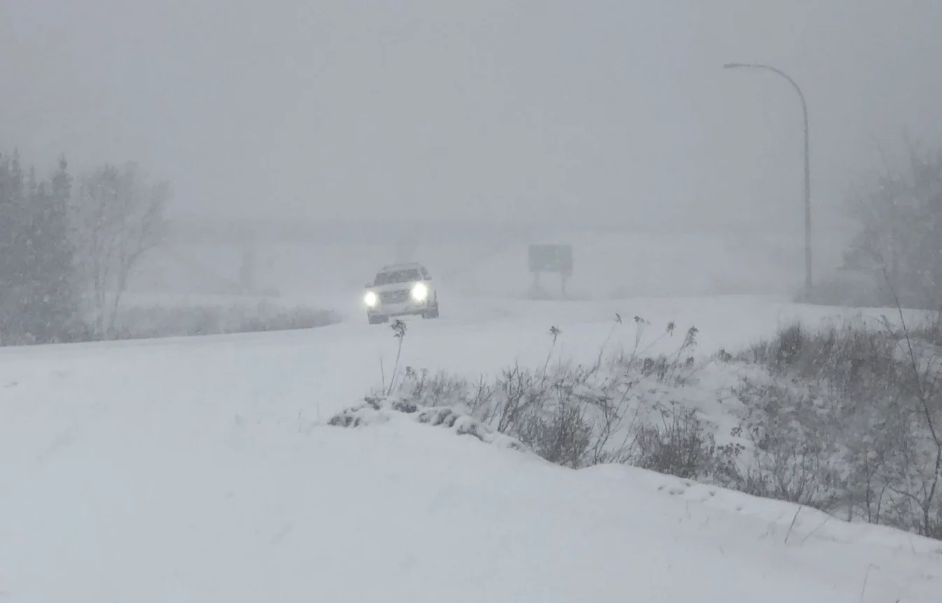
Another high-impact winter storm is on Atlantic Canada’s doorstep as a sprawling system threatens to bring heavy snow and significant ice to the Maritimes and Newfoundland. This looks to be a full-fledged ice storm for parts of Nova Scotia. Significant ice accretion could lead to widespread tree damage and power outages. More on when the worst will hit and how much snow and ice we’ll see, below.
MUST SEE: February shows its hand early as pattern change repeats this month
THURSDAY NIGHT: RAIN AND SNOW ARRIVE IN ATLANTIC CANADA
An extended period of messy weather will begin on Thursday night across the Maritimes and southern Newfoundland. A cold front will separate a slug of Arctic air to the north and a push of milder air from the south. Abundant moisture from the south will flow up and over this front, allowing for a prolonged period of wintry precipitation into Saturday.

DON'T MISS: How to stay safe during a winter power outage
The precipitation will first begin as light rain in the Maritimes before temperatures drop and many communities change over to snow.

Much like the last storm, this should be an all-snow event for much of New Brunswick and the western half of P.E.I., where we could see 30-40+ cm of snow by Saturday. Mixing could keep totals lower on the eastern half of P.E.I.
Heavy snow will also fall across much of Newfoundland, excluding the Avalon and Burin Peninsulas. Some areas could see 40-60 cm of snow by the end of the storm.
Heavy snow will be accompanied by gusty winds at times, leading to periods of near-zero visibility.

The rainfall that occurs in areas with temperatures above 0°C will intensify in the evening as more moisture flows in from the south. As warm moist air surges northward, the Avalon Peninsula may see 75-100 mm of rain. The frozen ground will force much of this rain to run off, prompting flooding concerns for the region once again.
WATCH: ANOTHER WEEKEND STORM, WHY CAN'T ATLANTIC CANADA CATCH A WEEKEND BREAK?
FRIDAY: DANGEROUS FREEZING RAIN POSSIBLE
Overnight and through the pre-dawn hours on Friday, a band of freezing rain is likely to develop along the transition zone across Nova Scotia. We could see 18-24 hours of continuous freezing rain in some areas, leading to the potential of 20-30+ mm of ice accretion.

The weight of this ice will lead to widespread tree damage and power outages. Power outages could last for several days in the hardest-hit areas. Downed trees and power lines will make some roads impassable.

Any wet surfaces in the Maritimes that don’t freeze during the wintry precipitation will freeze hard on Saturday night as cold air pours into the region. Sunday morning’s low temperatures will fall into the double digits below zero and remain below freezing for many areas until early next week.
By Saturday morning, the low along the boundary begins to pull south and east, with colder air and snow ending off across the southern Maritimes. The colder air will continue into early next week, though turning milder for the rest of next week.
PREPARE FOR POWER OUTAGES AND FALLING TREES
Significant ice accretion from prolonged freezing rain will lead to a risk for widespread power outages in the hardest-hit areas.
Make sure your mobile devices are fully charged before and during the freezing rain. If the power goes out, avoid using your device unless absolutely necessary. If you have flashlights, put them in an easily accessible spot (along with extra batteries) so you can find your way around in the dark without relying on a smartphone’s flashlight feature.
Cold temperatures filtering into the region after the storm will make extended power outages especially tough. Seal up any windows and doors that could let out excess heat. Never use grills, generators, or outdoor heaters indoors or too close to a structure. This kind of misuse could lead to a life-threatening risk for carbon monoxide poisoning.
Also, make a note of any tall trees or large tree limbs that could fall into your home if they’re weighed down by significant ice accretion. Trees falling into homes is a regular source of injuries during and after winter storms. If there’s a tree that looms large overhead, consider avoiding those rooms until the ice falls or melts.
Stay tuned to The Weather Network for all the latest on this major winter storm.