Damage, injuries after Los Angeles area’s strongest tornado in 40 years

Two tornadoes touched down in southern California this week. One was the Los Angeles metro area’s strongest tornado since 1983.
Two tornadoes touched down in southern California this week amid an unusually robust storm that swirled into the U.S. West Coast.
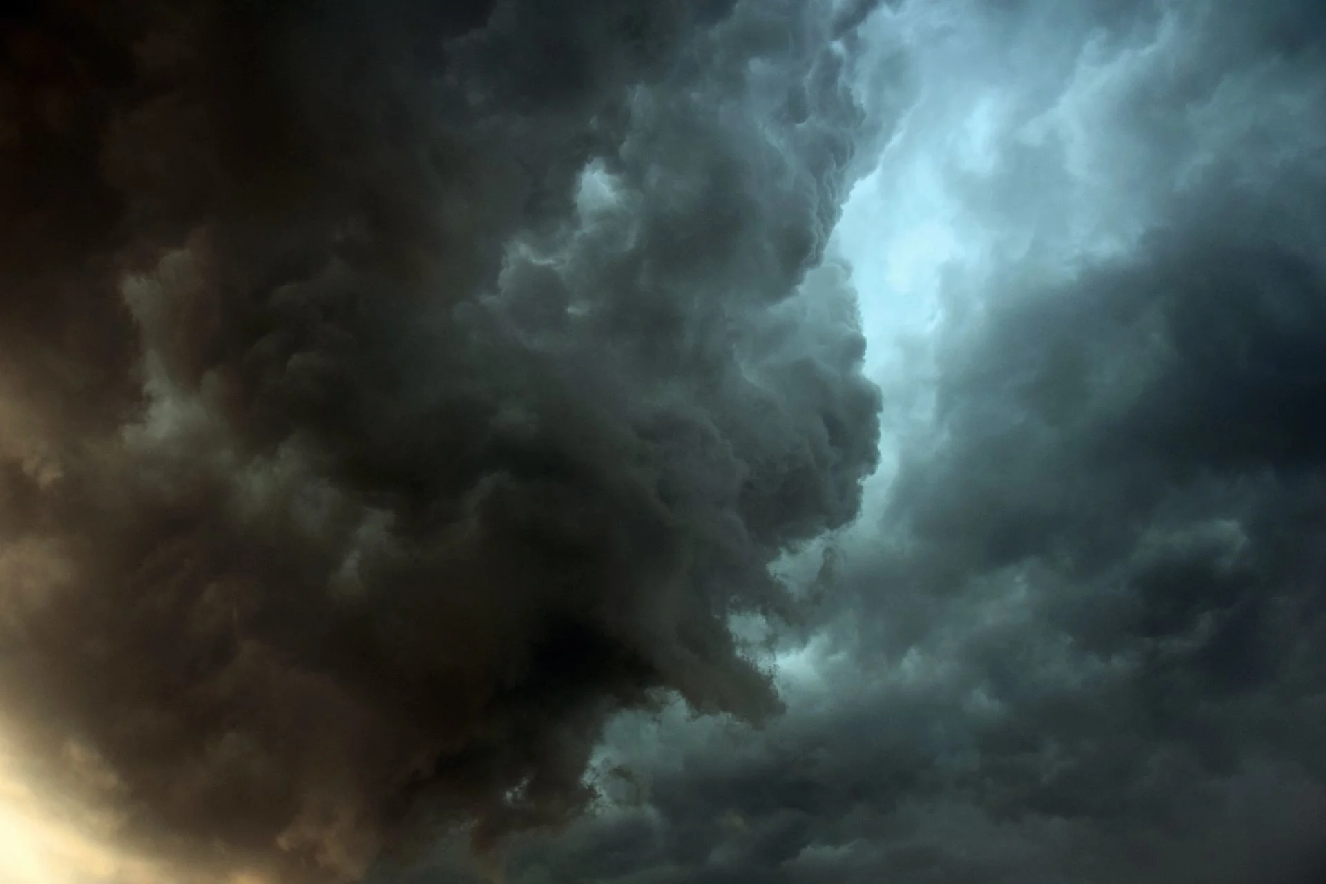
The stronger of the two struck the Los Angeles metro area on Wednesday morning, damaging more than a dozen structures and cementing its status as the region’s strongest tornado in four decades.
MUST SEE: Why storm chasers are watching changes in Tornado Alley closely
Videos showed a tornado tearing up industrial buildings in Montebello, California, a neighbourhood about 13 km southeast of downtown Los Angeles.
A damage survey conducted by the U.S. National Weather Service (NWS) assigned the tornado an EF-1 rating with estimated winds of about 180 km/h.
The storm damaged more than a dozen industrial buildings and warehouses in the area, with eleven of those buildings “red-tagged,” meaning they’re uninhabitable until the damage is repaired. One person was injured.
One day earlier, another tornado touched down about 150 km up the coast in Santa Barbara County.
A NWS damage survey found that the short-lived twister hit a mobile home park, producing EF-0 damage with estimated maximum winds of 120 km/h. The storm injured one person and damaged more than two-dozen homes in the neighbourhood.
California notches a couple of weak tornadoes every year, mostly during severe thunderstorms that bubble over the Central Valley, or when waterspouts briefly come ashore.
Montebello’s tornado on Wednesday was the strongest twister recorded in the Los Angeles metro area in 40 years, according to the NWS.
That previous tornado touched down in south-central Los Angeles on March 1, 1983, producing F2 damage when it struck more than 50 homes and businesses along its path.
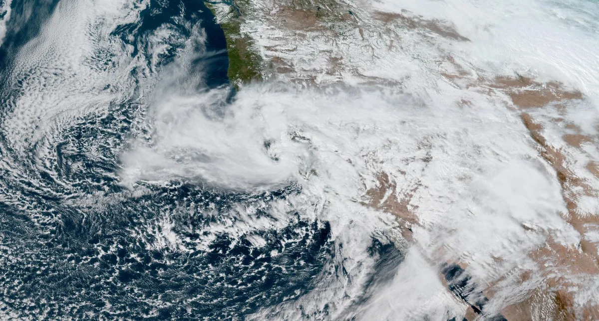
A tightly wound low-pressure system coming ashore near San Francisco, California, on March 21, 2023. (NOAA)
The larger low-pressure system responsible for the active weather across southern California is one that meteorologists may study for a long time to come.
DON'T MISS: Ice fell in Hollywood in February as atmospheric rivers plagued California
At one point resembling a hurricane or an Atlantic nor’easter, the low-pressure system came ashore right over San Francisco with an eye-like feature as clouds and bands of rain wrapped around the centre of the low.
Weather radar showed multiple centres swirling around one another, behaviour that’s typical of tropical cyclones in the height of summer. While this storm was not tropical, its uncommonly vivacious appearance was a testament to its strength, earning a standout spot in the series of rollicking storms that have rolled over the Golden State in the past two months.
Thumbnail image courtesy of Unsplash.