5-10 cm of wet snow, showers possible in S. Ontario on Sunday

Many will see widespread wet snow and showers in southern Ontario on Sunday and some locales could end up with 5-10 cm of snowfall through Monday.
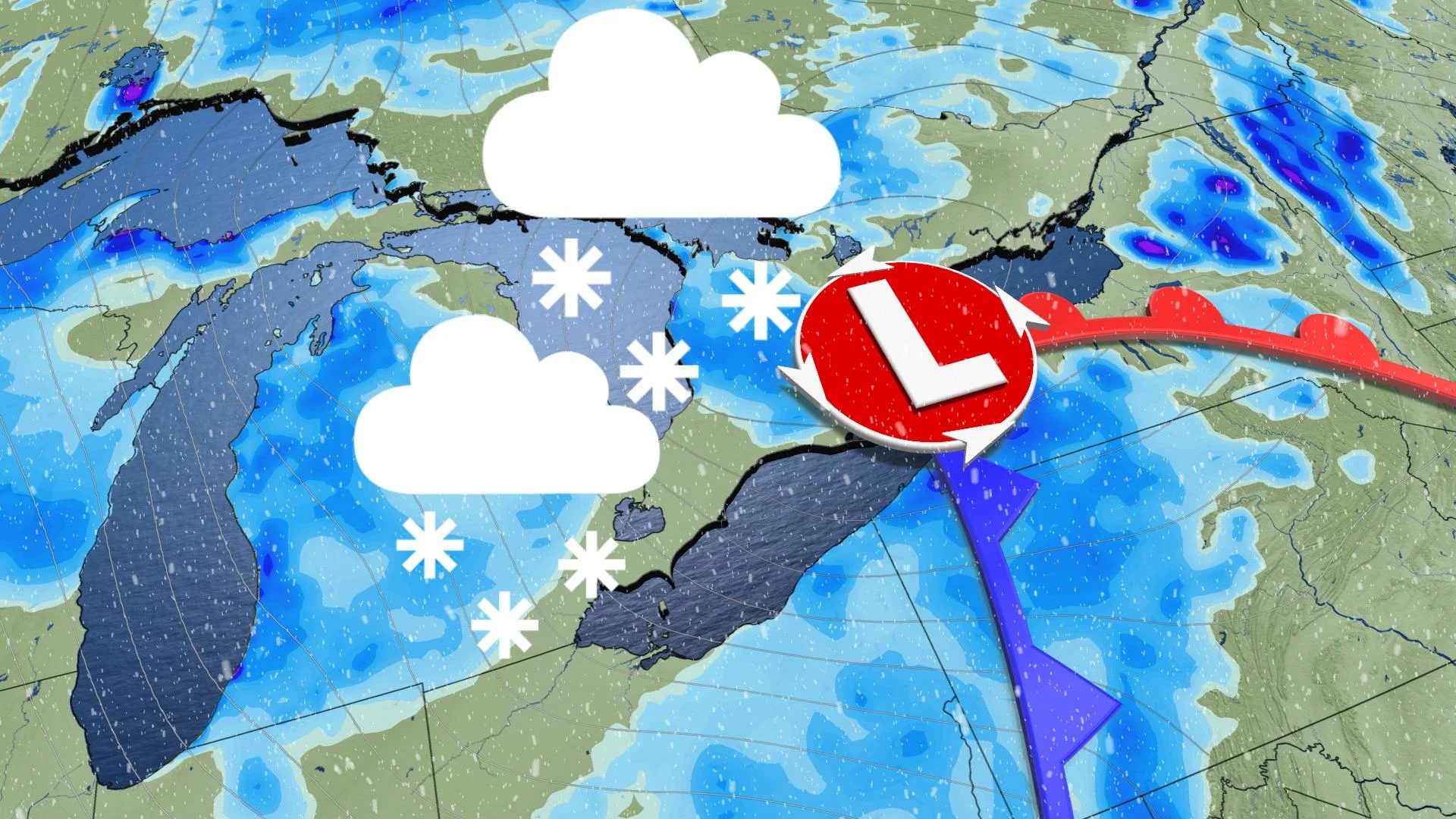
A chilly weekend is underway in southern Ontario and many will see lake-effect showers before an Alberta clipper tracks in. A mix of rain and wet snow will impact many regions and some could see 5-10 cm accumulate. More on this incoming bout of wet snow and showers, below.
SUNDAY: WIDESPREAD WET SNOW IN SOUTHERN ONTARIO
An Alberta clipper will track into southwestern Ontario early Sunday and will bring light snow to many regions, while other areas will see rain showers, particularly those located near the Great Lakes.
System snow associated with the clipper, with combined lake-enhancement from southwesterly winds off of the lakes, will raise the concern for locally heavier bands of snow, especially near Lake Erie. Hi-resolution models are hinting at a band setting up and developing heavier snow near London, then pushing into the Hamilton area through Sunday evening.
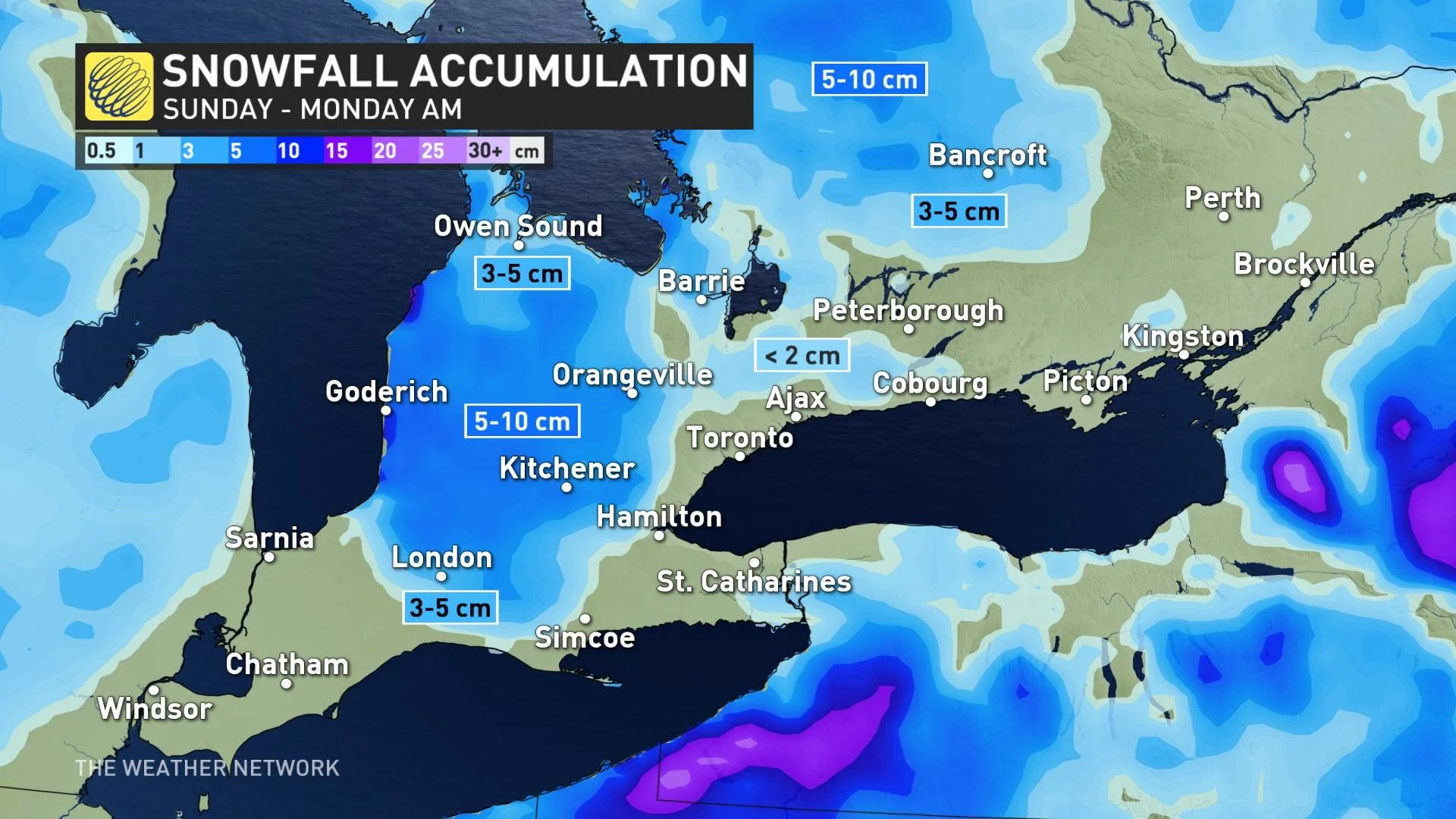
This will be a typical mid-November snow event, however, where snow totals will be highly dependent on elevation and distance from Lake Ontario.
Amounts of 5-10 cm are expected for the Kitchener-Waterloo area and over the escarpment, with pockets approaching 10 cm for parts of cottage country including Algonquin.
ECCC has issued special weather statements across southern Ontario, including cottage country and southwestern regions. Environment and Climate Change Canada (ECCC) says that this will be the “first significant snowfall for the season” for cottage country.
Areas with warmer temperatures, adjacent to the immediate lakeshores and through the Greater Toronto Area (GTA), will see a rain-snow mix. However, you won't need to move too far north to see some slushy snow or flurries flying. For example, areas just north of Highway 7 towards Vaughan and Newmarket, could see the flakes.
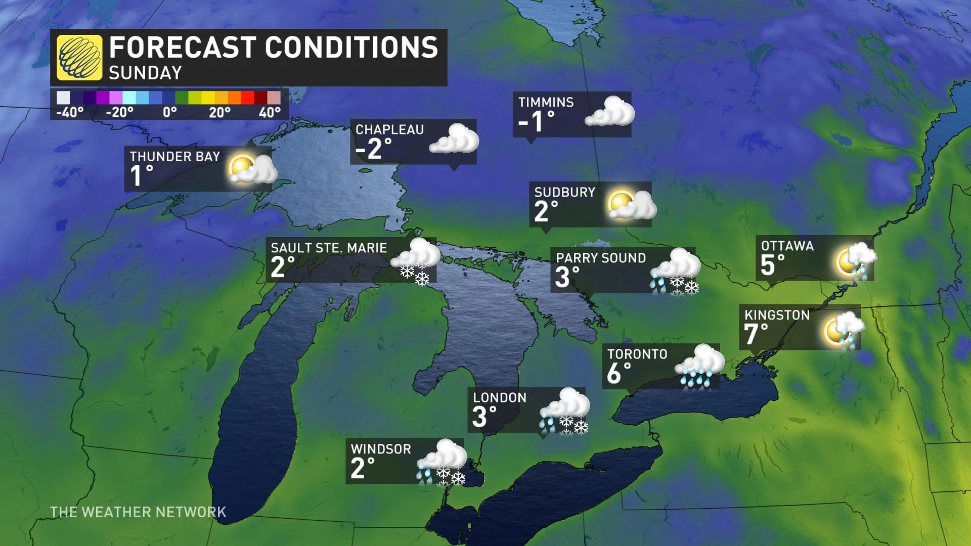
Temperatures will take a tumble this weekend, plummeting to the single digits for southern Ontario. By Sunday, daytime highs will drop even more so, with temperatures getting closer to the freezing mark in some areas. Eastern sections will be slightly warmer, with values closer to the double digits.
BEYOND: CHILLY WEATHER FOR EARLY NEXT WEEK, BANDS OF LAKE-EFFECT SNOW
Chilly, near seasonal, weather will continue into early next week, with temperatures set to rebound to above seasonal for a couple of days during the middle of the week before colder weather returns late in the week and weekend once again.
Bands of lake-effect snow are also likely southeast of Georgian Bay and Lake Huron, including the London area, on Monday. Significant snowfall totals are possible.
Be sure to check back for the latest updates on the changing pattern across Ontario.