B.C.: Heavy rain in south, drought and fire bans up north

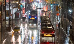
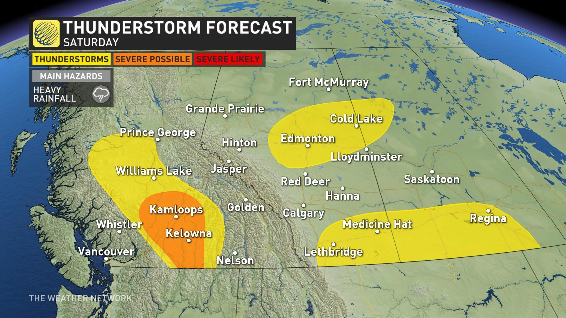
An extended period of rain showers and thunderstorms that will persist across parts of British Columbia through Saturday have prompted severe thunderstorm watches for the threat of heavy downpours that could cause landslides. Meanwhile, dry conditions in northwestern B.C. have resulted in the province's first campfire ban of 2019. Details on the timing of the rainy system and the widespread drought conditions, below.
WEATHER HIGHLIGHTS:
Noon on Friday marked beginning of some campfire bans
Showers and thunderstorms continue through Saturday
Hot weather returns by Sunday and into early next week
Stay up-to-date on the latest ALERTS in your area
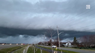
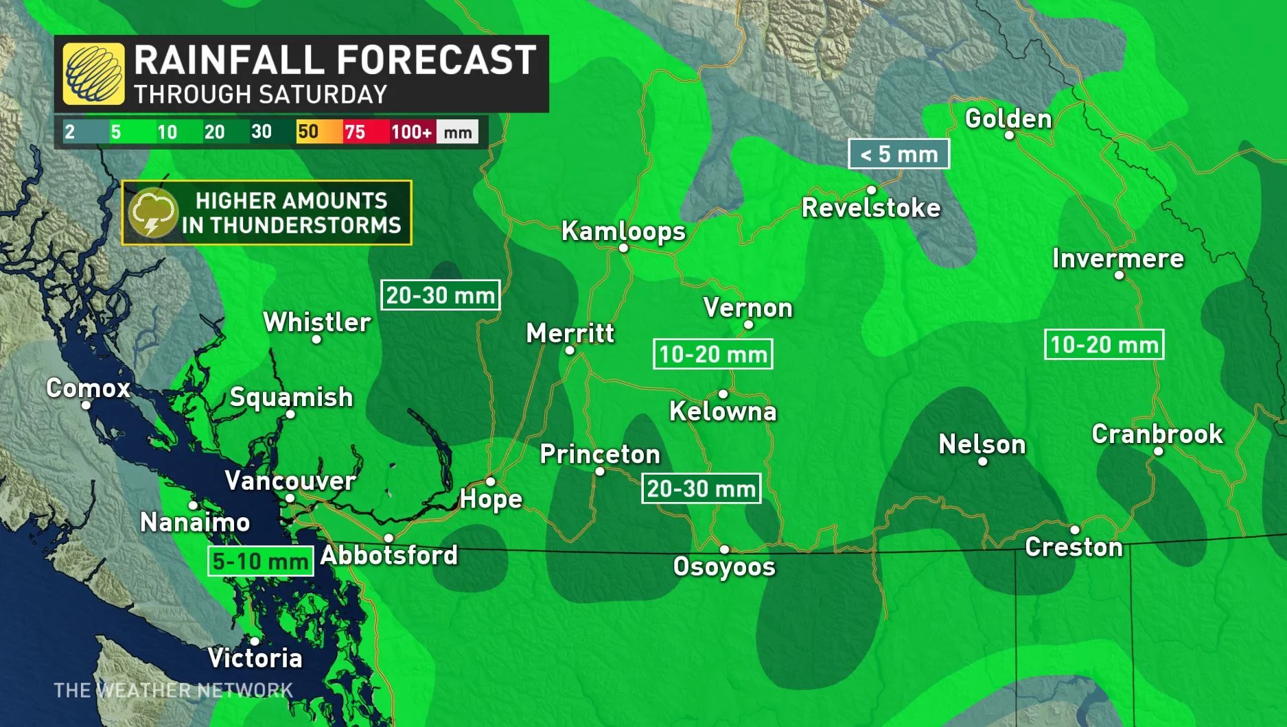
SHOWERS CONTINUE INTO THE WEEKEND
A weak boundary that has brought rain to B.C. will continue to deliver the soggy conditions through Saturday with the possibility of 10 to 20 mm for many, with heavier amounts are likely in areas that see thunderstorms.
These high rainfall amounts could fall over a relatively short amount of time and carry the potential to cause localized flash floods or landslides in dry areas or on unstable slopes.
A few showers could even continue into Sunday morning, mainly for the southern interior before the low drifts further west and clears out Monday.
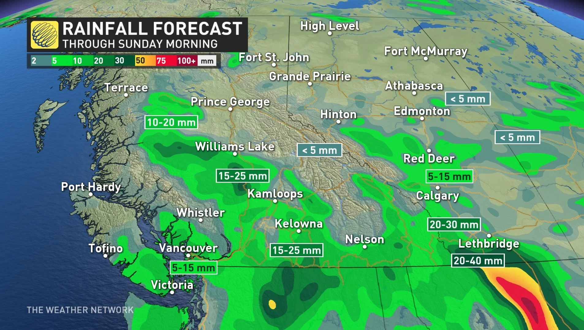
Warm weather will return to the province by Sunday as temperatures top the mid to upper 20s once again Monday. A few spots even have the potential to reach 30°C to start out the final week of May.
SEVERE DROUGHT IN THE NORTHERN INTERIOR
As of noon on Friday areas throughout the Peace Region began campfire bans as the area is experiencing severe drought. This marks the province's first campfire ban of the year and comes shortly after snowpack levels in B.C. were reported to be among the lowest in the past 40 years on May 15.
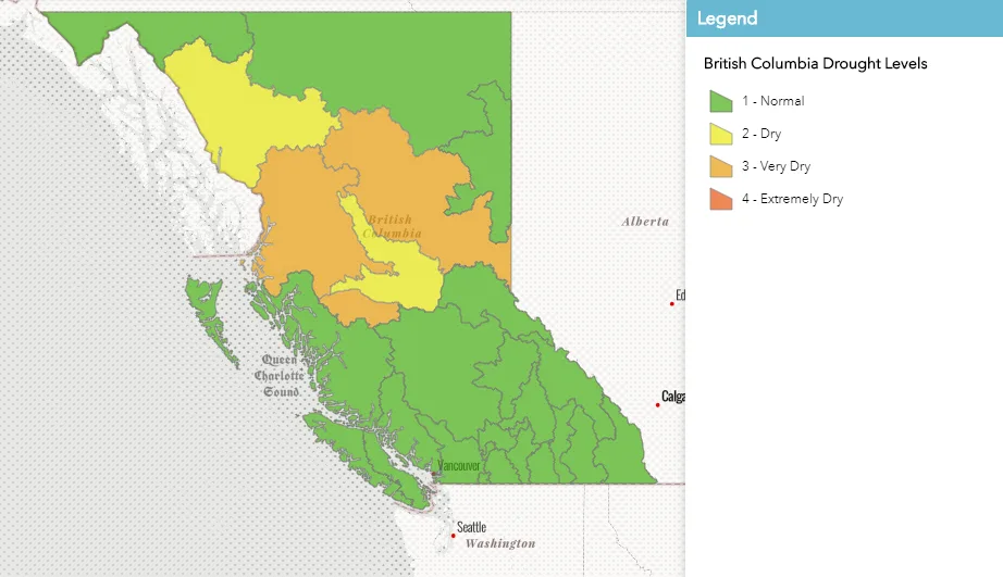
Credit: British Columbia Drought Information Portal
The B.C. River Forecast Centre states that these levels are comparable to the very low levels that were observed in 2015 and 2016, and says that the warm spring and early snowmelt are to blame. Up to 60 per cent of the snowpack has melted at most of the sites, which is significantly larger than the usual 25 per cent that is expected during a regular season.