Whiteouts possible as gusty winds spray snow over southern Ontario

After Wednesday's gusty winds and snow squalls, there's a couple more active systems to watch out for, but hopes for a white Christmas are fading for many.
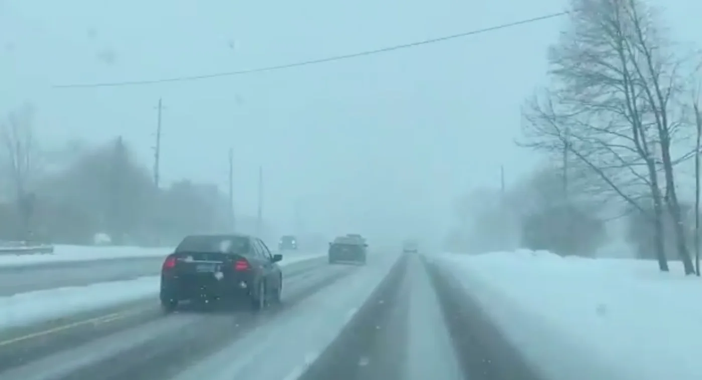
Cold winds made it feel very wintry on the first full day of winter Wednesday, and whipped up the lake-effect snow machine, such that parts of the southwest and western GTA saw several bands of at-times heavy snow. There are more chances for a dash of snow here and there in the coming days, but hopes for a white Christmas are fading for many. More on the timing and details, below.
Visit our Complete Guide to Winter 2022 for an in-depth look at the Winter Forecast, tips to plan for it, and much more!
LOOK AHEAD: GREEN CHRISTMAS THE MOST LIKELY SCENARIO FOR THE SOUTH
Though some parts of the southwest saw a few bands of at-times intense lake-effect snow, those should be a memory by Thursday morning.
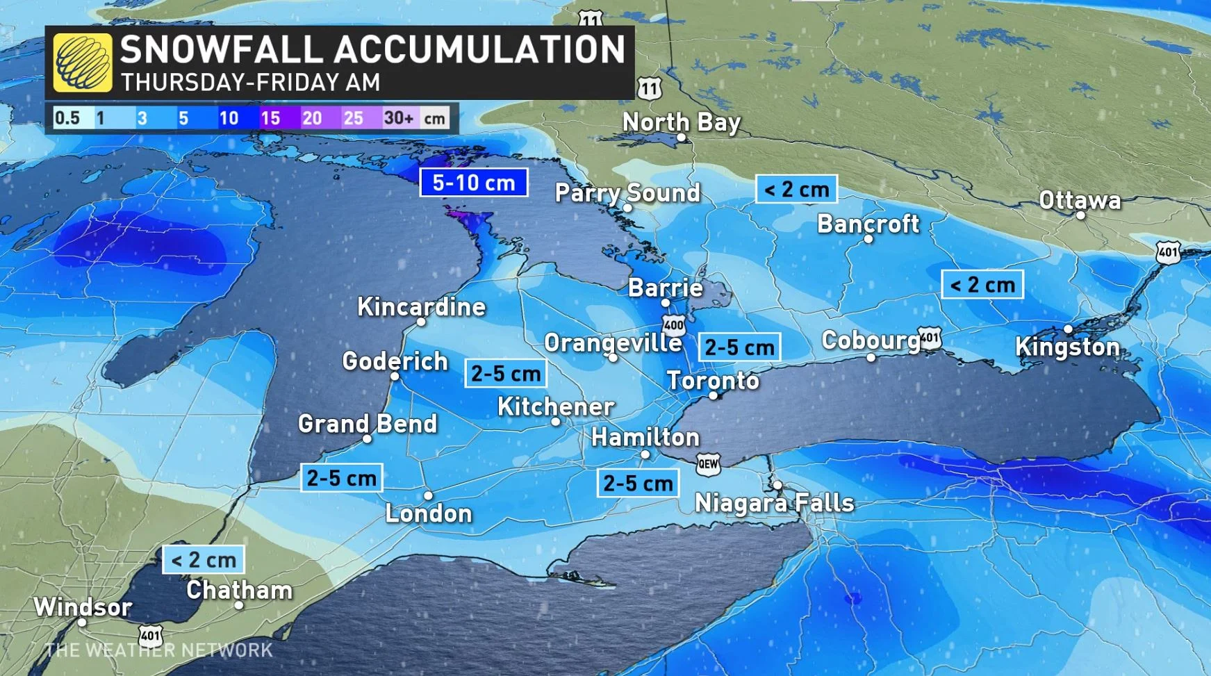
That's not to say we'll be completely snow-free, however: Another clipper system will spread over southern Ontario on Thursday, bringing widespread snowfall to the region. We could see 2-5 cm of snow from the system.
Unfortunately for folks who are dreaming of a white Christmas, Thursday’s snow isn’t likely to stick around for very long.
Still one more system will approach the region Friday night through early Saturday. While there is still some uncertainty with this late-week system, rain and mild temperatures appear to be the most likely scenario for the GTA and areas south and west of Toronto. You may go to bed with some snow still left on the ground, but will likely not wake to any.
The best chance for snow with this upcoming system will appear in eastern Ontario.
Check back for the latest on Ontario’s holiday forecast.