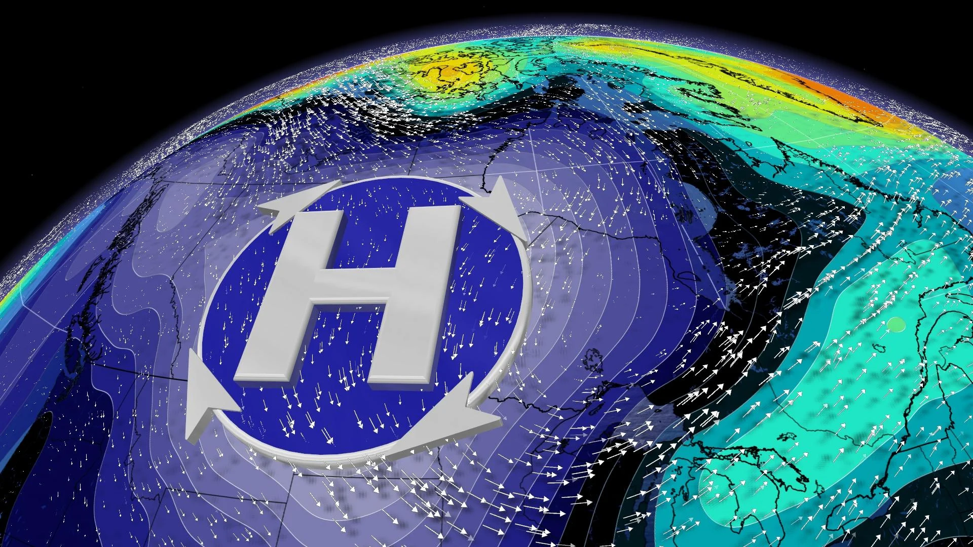
Biggest weather feature in North America is in Canada, but you won’t notice

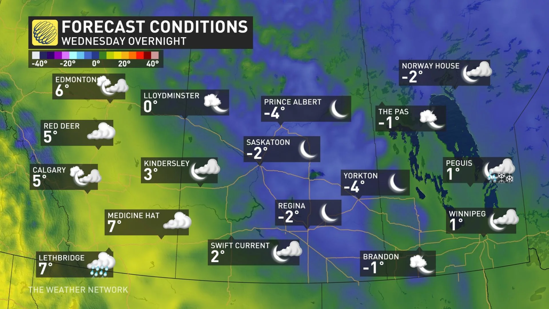
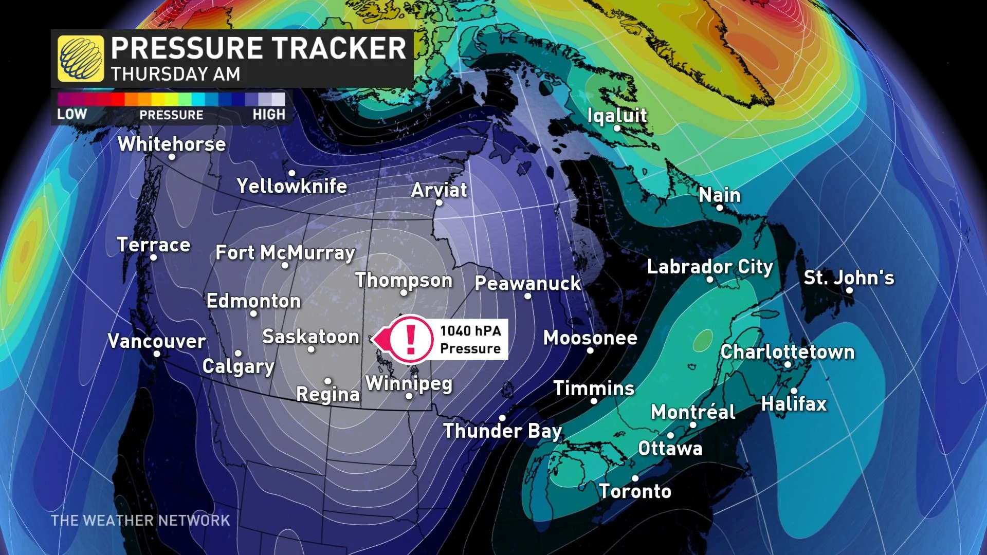
By Thursday, a high-pressure system of around 1040 hPa meanders near the Saskatchewan and Manitoba border. The chilly air mass will allow overnight lows to plunge to their coolest temperatures since early May
There’s one standout feature across Canada this week.
Strong high pressure is often an oxymoron. The hallmark of high pressure includes sinking air and clear skies, but it’s hardly a captivating weather story. During winter, these surface features bring in our chilliest weather of the year. If this was January, it would plunge temperatures well into the -30s.
SEE ALSO: Canada's October outlook: Slow slide or freefall into colder weather?
By Thursday, a high-pressure system of around 1040 hPa meanders near the Saskatchewan and Manitoba border. The chilly air mass will allow overnight lows to plunge to their coolest temperatures since early May.
Parts of Saskatchewan and Manitoba will plunge to temperatures up to 10 degrees below normal, so this is your only tangible connection to one of the highest, high-pressure readings in Saskatchewan and Manitoba for October.
It’s a little anticlimactic, I know.
Why the fuss? When scouring peak pressure readings in October -- the region maxes out at 1041 hPa.
How does this fit into our most extreme atmospheric pressures across Canada, corrected to sea level?
The 932.7 hPa sea-level pressure is from the record-breaking low reading from Hurricane Fiona. Atmospheric pressure is remarkably stable, with the difference between the highest and lowest Canadian pressure less than 14 per cent. Across the globe, barometric pressure has only varied by 22 per cent between the highest Siberian high and lowest pressure typhoons.
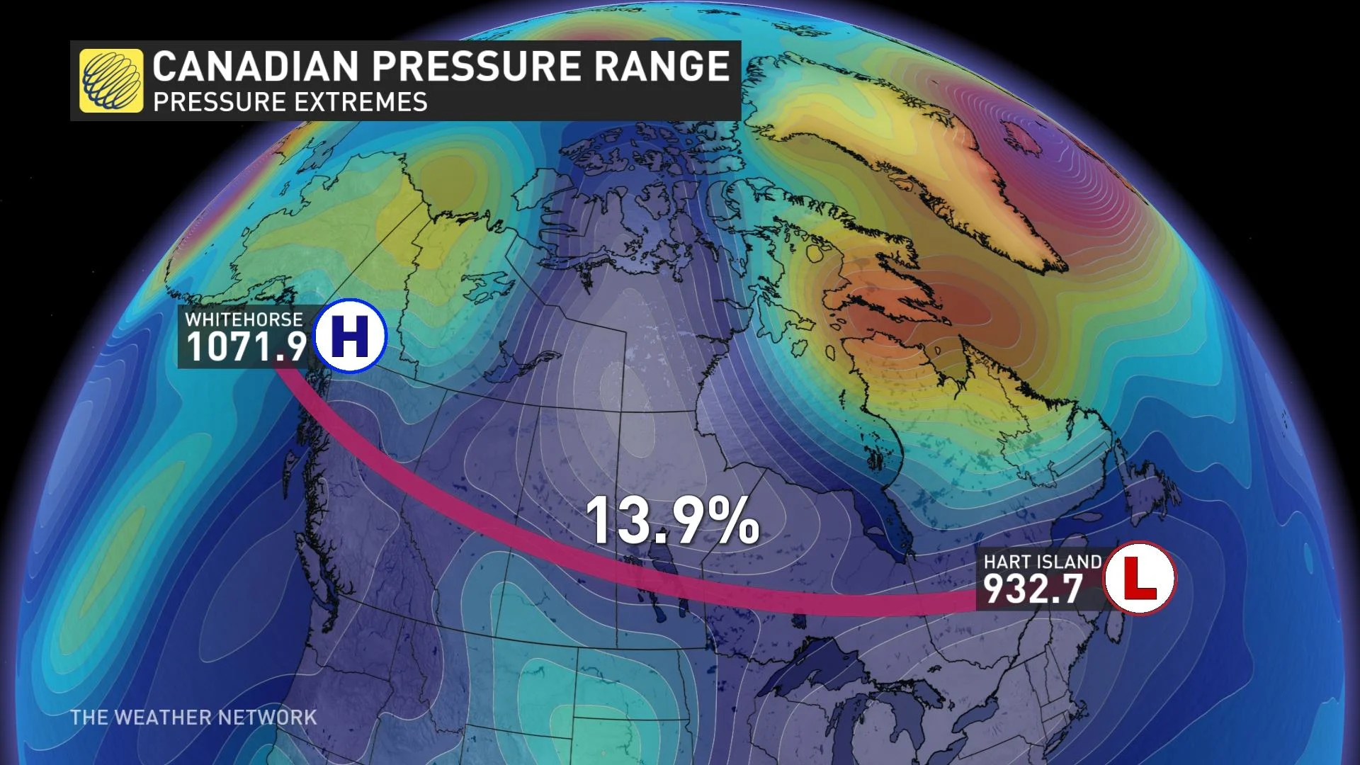
As for Alberta, your pressure has surpassed 1048 hPa in October before, so naturally, you will sit this possible record out.
Stay tuned to The Weather Network for the latest forecast updates on the Prairies.


