Parts of Atlantic Canada get early jump on winter with blasts of snow

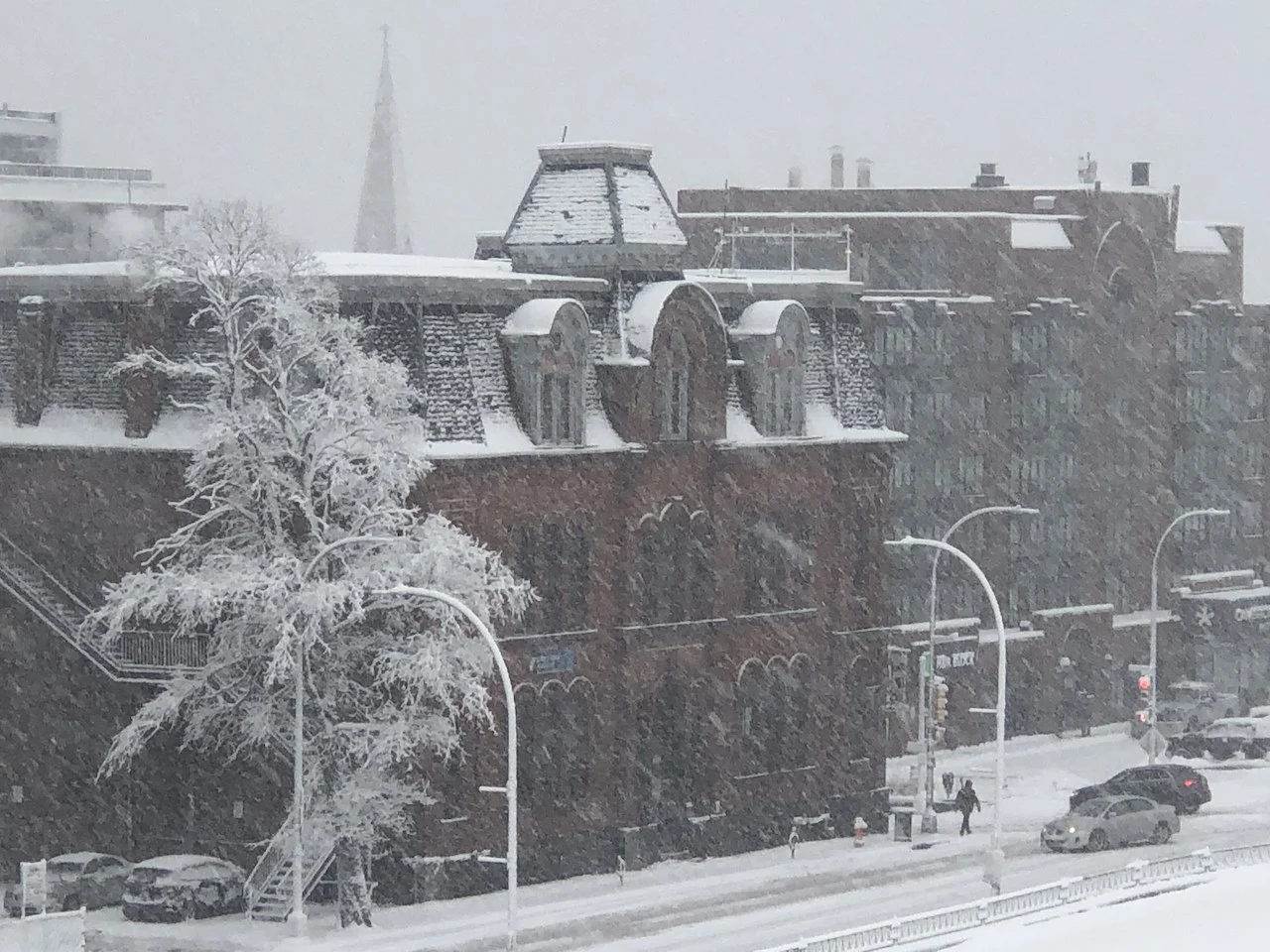
Parts of Atlantic Canada are getting a healthy taste of winter Sunday, two days away from the astronomical start to the season. Some areas could see another 10-15 cm by the time it winds down, likely making for difficult travel.
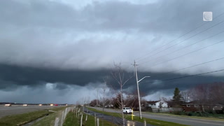
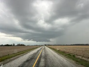
With just two days to go before the astronomical start of winter, Atlantic Canada has had no shortage of weather reflective of the upcoming season in recent weeks. Sunday will be no exception for parts of the region, mainly in Nova Scotia, where heavy snow will continue to push through as a system remains south of the Maritimes. Some areas may see an additional 10-15 cm by the time the system departs Sunday evening. Snowfall warnings are in place for southwestern areas. However, forecasters are already eyeing a second system for next week, with more snowfall expected. What's left of the current system and what's ahead, including a early look at whether to expect a white Christmas or not, below.
Visit our Complete Guide to Winter 2022 for an in-depth look at the Winter Forecast, tips to plan for it, and much more!
SUNDAY: SNOW LINGERS IN NOVA SCOTIA
A low-pressure system skirting offshore and south of Atlantic Canada will continue to bring snow into the Maritimes, mainly Nova Scotia, through Sunday. Halifax will see its heaviest band of snow push in Sunday morning, making for difficult travel. Snowfall warnings are in place for southwestern sections of the province.
Snow will then end from west to east Sunday afternoon in southwestern Nova Scotia and in the evening across the rest of the province. Snow will be limited due to mixing with rain along the immediate coast in parts of Yarmouth and Shelburne counties.
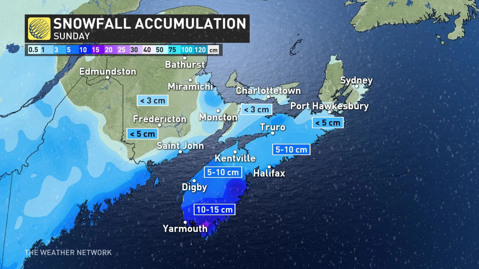
While most of the Maritimes will see some snowfall amounts from this, the heaviest will be Nova Scotia, whose southwest could see an additional 10-15 cm Sunday, with another 5-10 cm for the Halifax region.
Because of the track of the system, Newfoundland will escape any impacts from this system, remaining dry and cloudy.
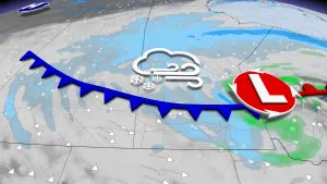
BEYOND: SECOND SYSTEM LOOMS, WHITE OR GREEN CHRISTMAS?
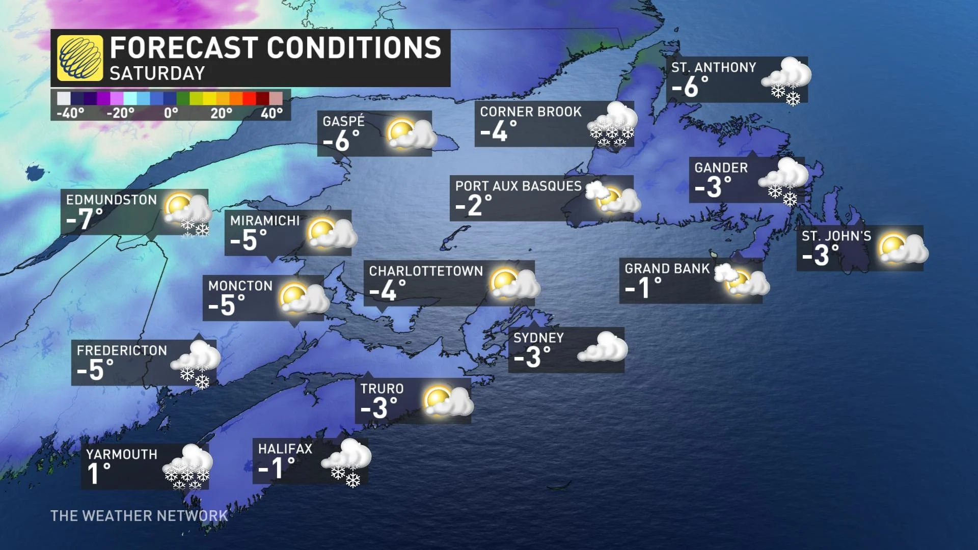
Monday features some lingering sea-effect snow in behind the low, though with unremarkable amounts, but Tuesday features a second snowy system for the region.
This one will descend from northeastern Quebec, with widespread wet snowfall across the Atlantic provinces, though with a brief, rainy warmup. Newfoundland will see another round of sea-effect snow bands.
Temperatures in the short term will feel like the negative single digits, with highs below seasonal until Tuesday.
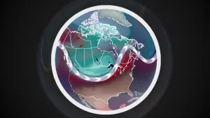
Looking ahead, a system could impact the region Christmas Eve and Christmas Day. Presently, the weather pattern is trending colder, but the storm's ultimate track and temperature margin will determine whether there's enough snow to make for a white Christmas – or whether it'll be rain instead, washing away snow leftover from past systems.
check back as we continue to monitor these systems' impacts on Atlantic Canada.