Atlantic: Powerful storm threatens more heavy snow, blizzard conditions

After a minor disturbance on Wednesday, Atlantic Canada's storms will grow to a crescendo this week, as a much more potent system targets the region for Thursday and Friday. By week's end, parts of the area will be digging out from heavy snow and facing hurricane-force wind gusts as a large storm intensifies as it moves up the coast. We take a look at what to expect below.
January outlook: Checking in on winter in Canada with The Weather Network's Dr. Doug Gillham
WEATHER HIGHLIGHTS:
Storm track stays focused on Atlantic Canada this week
Light snow, rain move through midweek
Eyes on potential significant snowfall, damaging winds with late week system
Stay aware of ALERTS in your area
WEDNESDAY: QUICK SHOT OF SNOW, RAIN
The next round of snow and rain is on track to move into the region on Wednesday as a weak disturbance moves through.
This will be only the appetizer on the week's weather menu for eastern Canada, dropping a trace to 5 cm across New Brunswick, P.E.I., and northern Nova Scotia, with rain tracking across southern Nova Scotia. This system looks to miss Newfoundland, for the most part, bringing a few centimetres of snow along the south coast Wednesday evening.
BELOW: ATLANTIC CANADA REMAINS ON THE STORM TRACK THIS WEEK
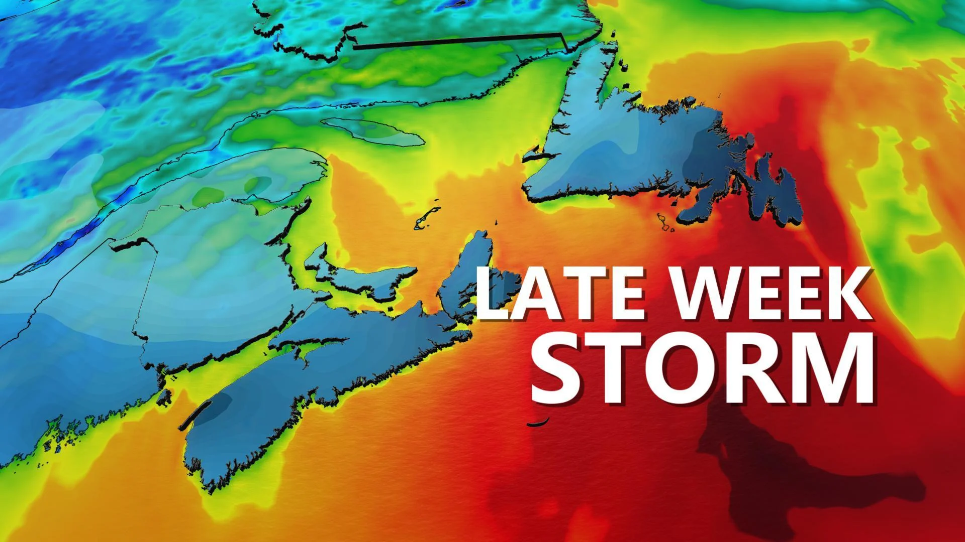
THURSDAY/FRIDAY: POWERFUL WINTER STORM LOOMS
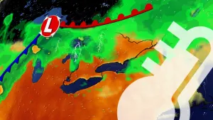
The next significant system looms on the horizon for the late week, as a low pressure centre rapidly intensifies off the coast of New England and continues to track south of Atlantic Canada. This powerful winter storm, which looks to fulfill weather bomb criteria, will bring heavy snow and powerful winds to parts of the Maritimes and Newfoundland Thursday and Friday. Special weather statements are already in effect for this system.
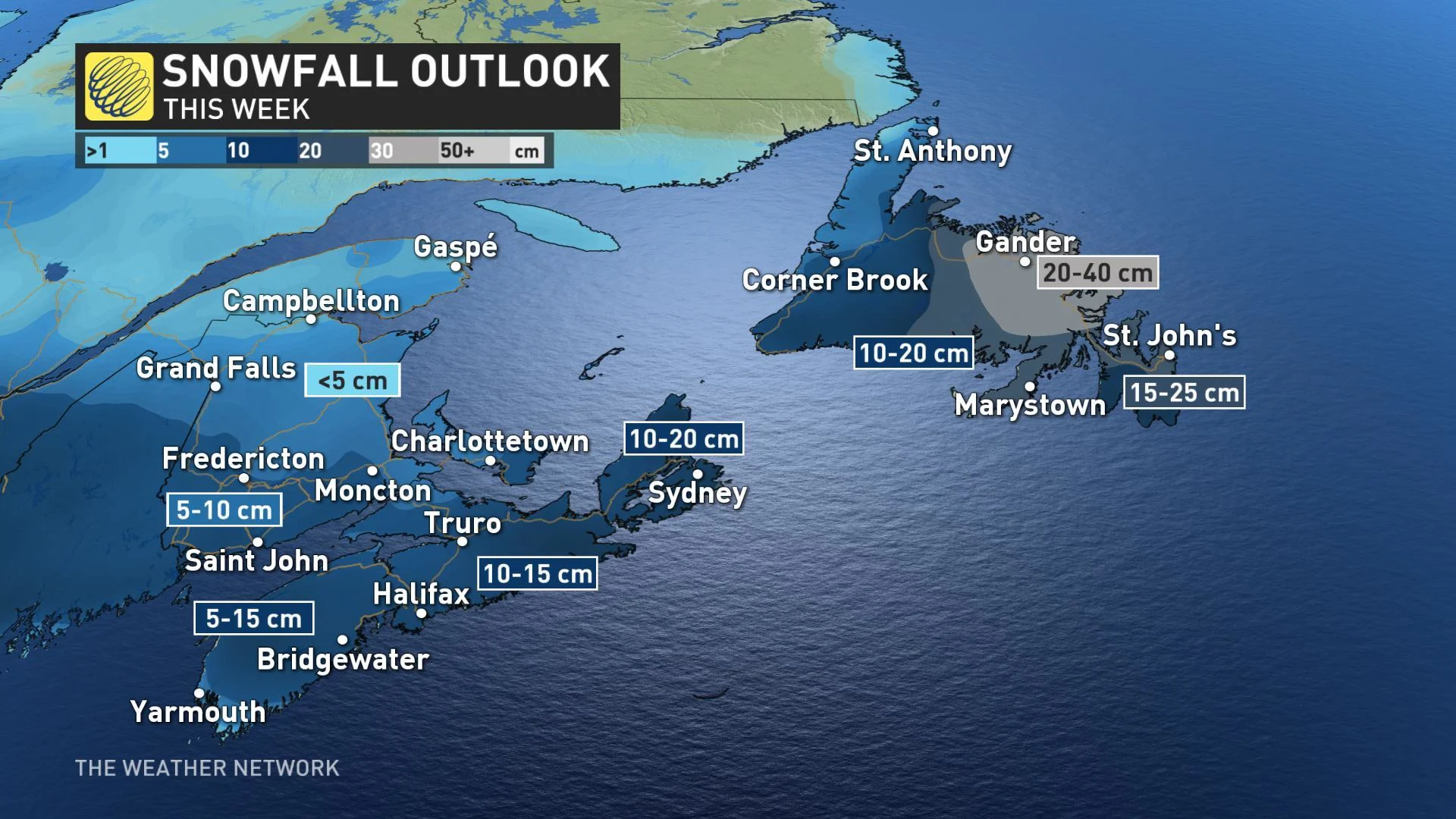
The heaviest snow associated with this system is expected over eastern Newfoundland Thursday night and Friday, with the hardest-hit areas possibly seeing between 20-40+ cm of snow. Northern mainland Nova Scotia and Cape Breton Island also stand to see some substantial amounts up to 20 cm, with much of the province in line to pick up at least some helping of snow through Friday.
In addition to the heavy snow, the wind will be howling across the region, starting in the Maritimes Thursday night and picking up for Newfoundland early Friday. Hurricane-strength gusts are likely for Newfoundland at times; currently, model solutions suggest the strongest winds will be Friday afternoon and evening.
"Blizzard conditions are likely for Newfoundland," says Weather Network meteorologist Dr. Doug Gillham, adding that extensive blowing and drifting snow and whiteouts are expected.
High waves and storm surge may also affect the southern Gulf of St. Lawrence and Cape Breton Island on Friday, which could cause some coastal flooding during high tide.
Stay with us here at The Weather Network for your forecast updates as we follow these systems throughout the week.