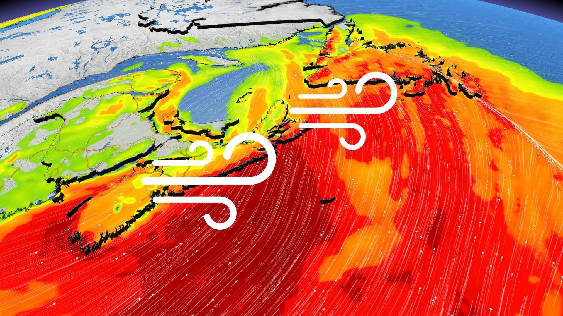
Atlantic: Storm's effects shift to Newfoundland, eyes already on the next

The Maritimes looks to have a calmer Sunday, while in Newfoundland, overnight rain changes to snow into the morning.
A strong weekend system will be all but finished with the Maritimes by Sunday morning, with some snow lingering for Newfoundland into Sunday afternoon, with winds subsiding gradually. Beyond, another system looms for the early week. Details, below.
WEATHER HIGHLIGHTS
Calmer Sunday in the Maritimes, chance of a passing shower
Newfoundland sees snow through the morning, ending in the afternoon
Another system next week, but track uncertain
Keep on top of weather ALERTS in your area
SUNDAY: SNOW IN NEWFOUNDLAND, WINDS EASE
People in New Brunswick in particular would have had a rude start to the day, with parts of the north and centre of the province buried beneath some pretty hefty snow.
Sunday, however, the Maritimes will see the back of this system, with only the slight chance of a passing shower to anticipate.
In Newfoundland, however, overnight showers will have switched to snow for western and central parts of the island, abetted by sea-effect squalls. The map below shows the total expected accumulations from this system, start to finish.
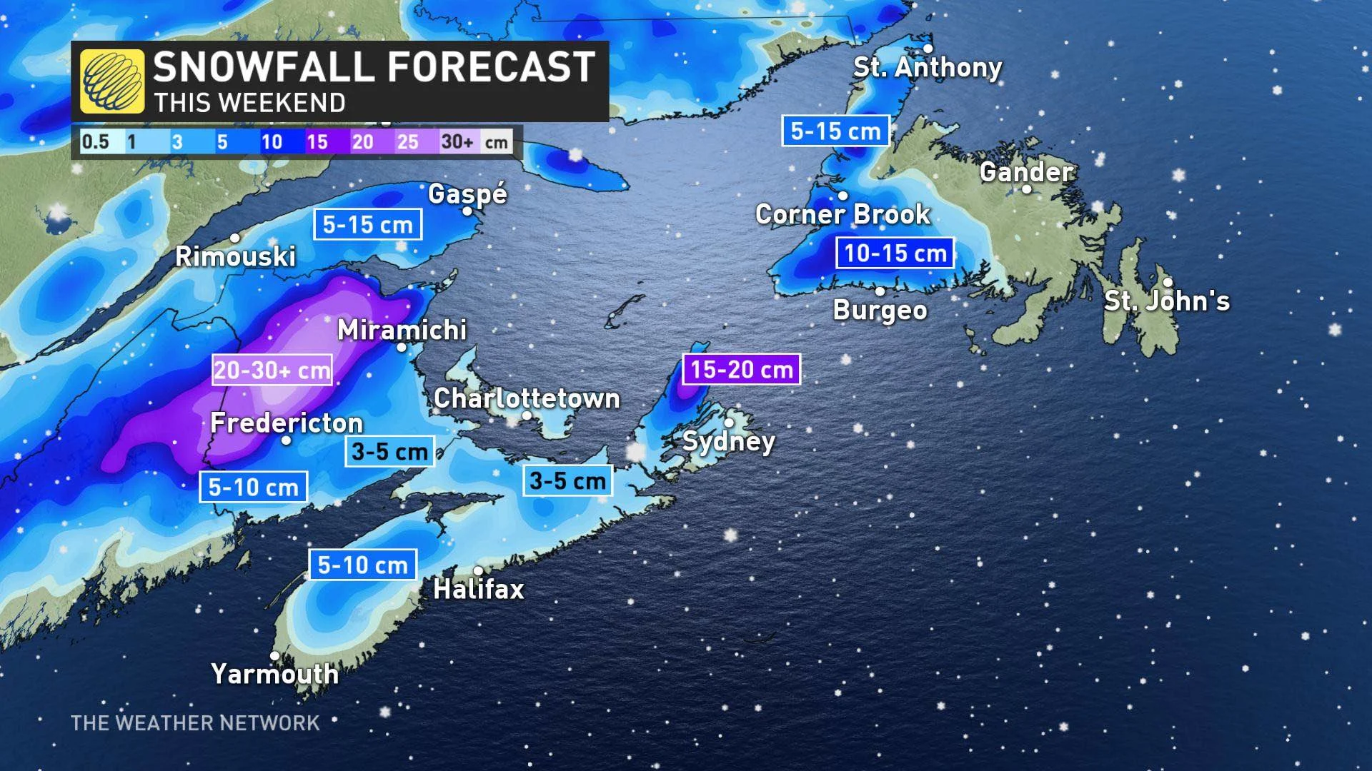
The Avalon looks set to escape the snow, and looks drier Sunday, though still gloomy.
Strong winds, gusting in the 80 km/h range, will reintensify somewhat for coastal areas of the island in the morning, before easing early Sunday afternoon.
LOOK AHEAD: POTENTIAL FOR WET SNOW, BUT TRACK IS UNCERTAIN
Beyond the weekend, another system is expected to track south of the Maritimes and into Newfoundland Tuesday and Wednesday, with widespread rain to the region and a chance of a rain/snow mix on the backside of it for the Maritimes.
While confidence in the storm track and impacts are still low, there is potential for this system to tap into some subtropical moisture and become a stronger storm, so we will monitor closely.
Stay tuned to The Weather Network as we continue to monitor the forecast.