Frigid air remains overs southern Quebec, but a warmup is forthcoming

Stay warm, Quebec. Arctic air with dangerous wind chills will continue, but relief is coming by Sunday
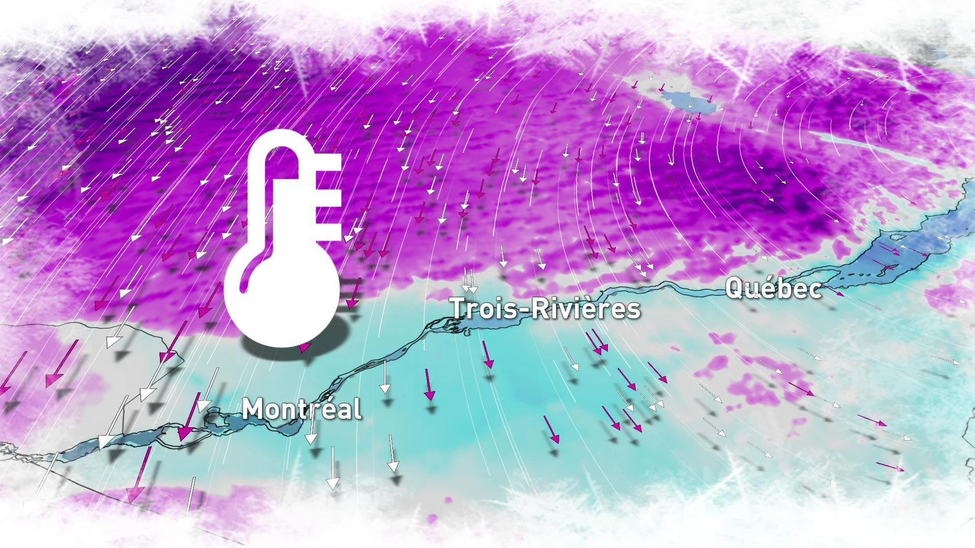
Although winter doesn't officially begin until Saturday, it's already feeling like the heart of the season in Quebec this week as arctic air has taken hold in the province -- bringing dangerously cold conditions right into the weekend.
THROUGH SATURDAY -- EXTREME COLD LOCKED IN
So far this season, the coldest temperature recorded for the city of Montreal was -14°C, reached back on November 16. Early morning lows on Thursday however, dipped to -20°C in the city, feeling closer to -33 with the wind chill.
While not enough to break any significant records, this blast of frigid, arctic air is still a bit of a shock to the system.
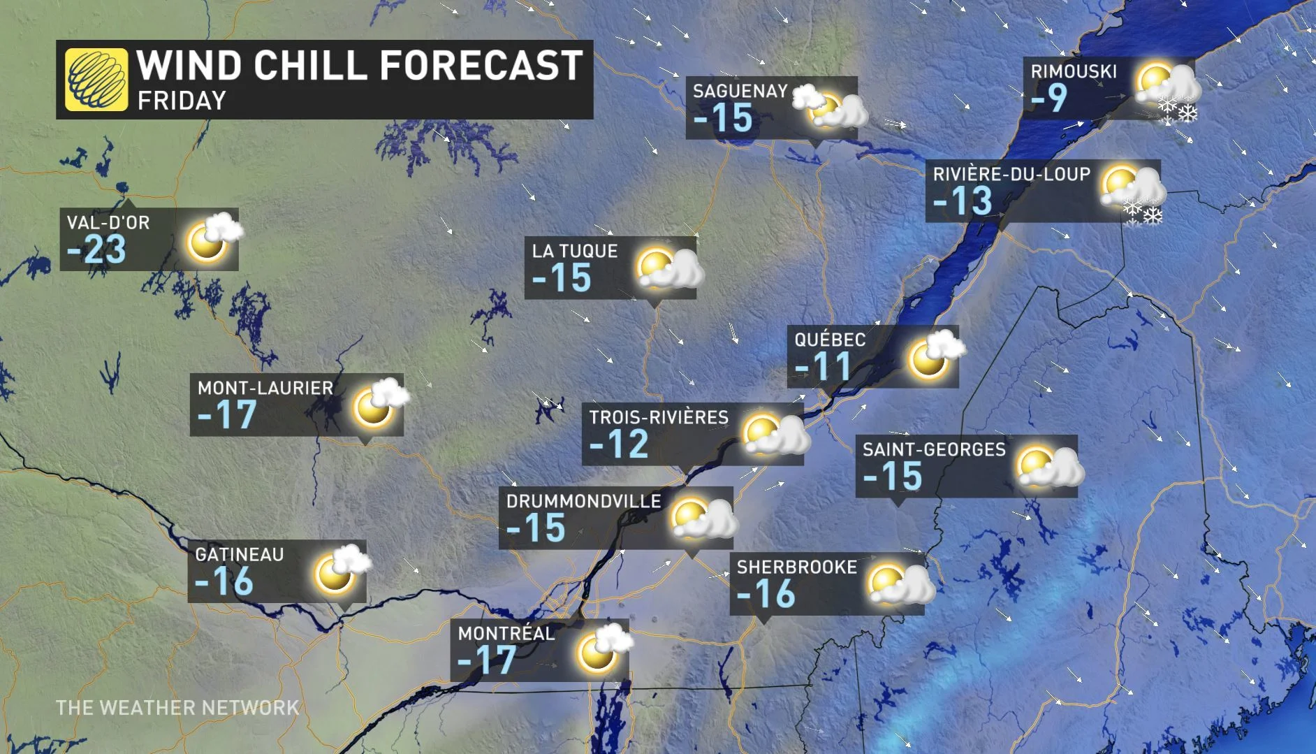
Temperatures on Friday won't improve much and will hover around the minus mid-teens in most areas as we close out this final week of autumn.
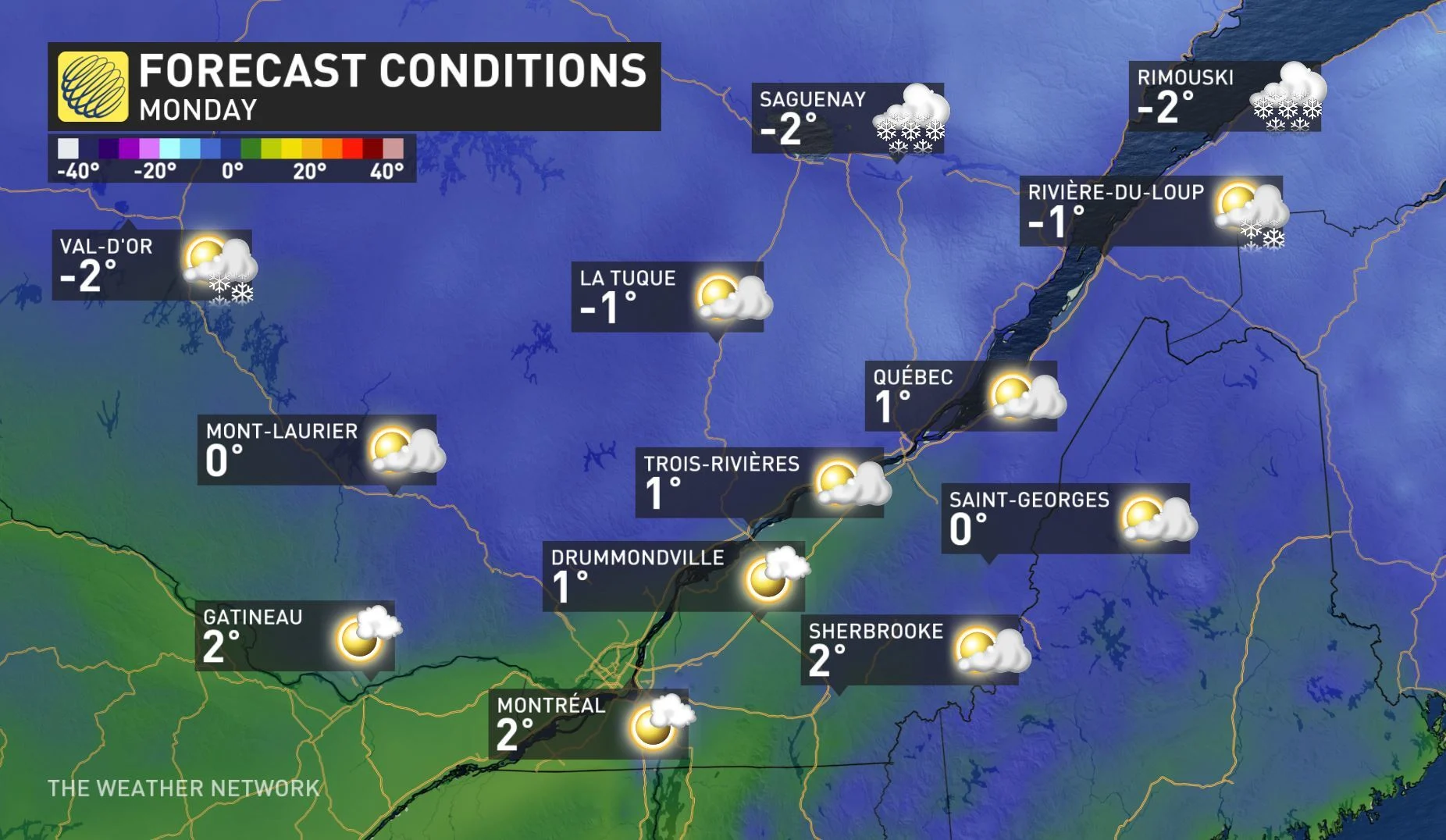
While some light snow is possible for Montreal later Saturday night and into Sunday, no significant accumulation is expected as a milder pattern takes over ahead of the holidays.
POSSIBLE CHRISTMAS CONTRASTS: GREEN IN THE SOUTH, WHITE IN THE NORTH?
At this point milder air will reach southern Quebec by Sunday and into early next week -- meaning there will be a significant snow melt. Many places outside of the traditional lake-effect snow belt regions are likely to lose their snow before Christmas, including areas in the southern portion of Quebec.
"The snow depth currently decreases to the south and east, and areas towards the St. Lawrence have a higher risk of losing their snow before the 25th," says meteorologist Dr. Doug Gillham.
Meanwhile, central and northern Quebec look to be guaranteed another white Christmas this year after an already active storm track that's brought enough snow to last through the holidays.