A narrow severe storm risk covers Ontario and Quebec on Tuesday

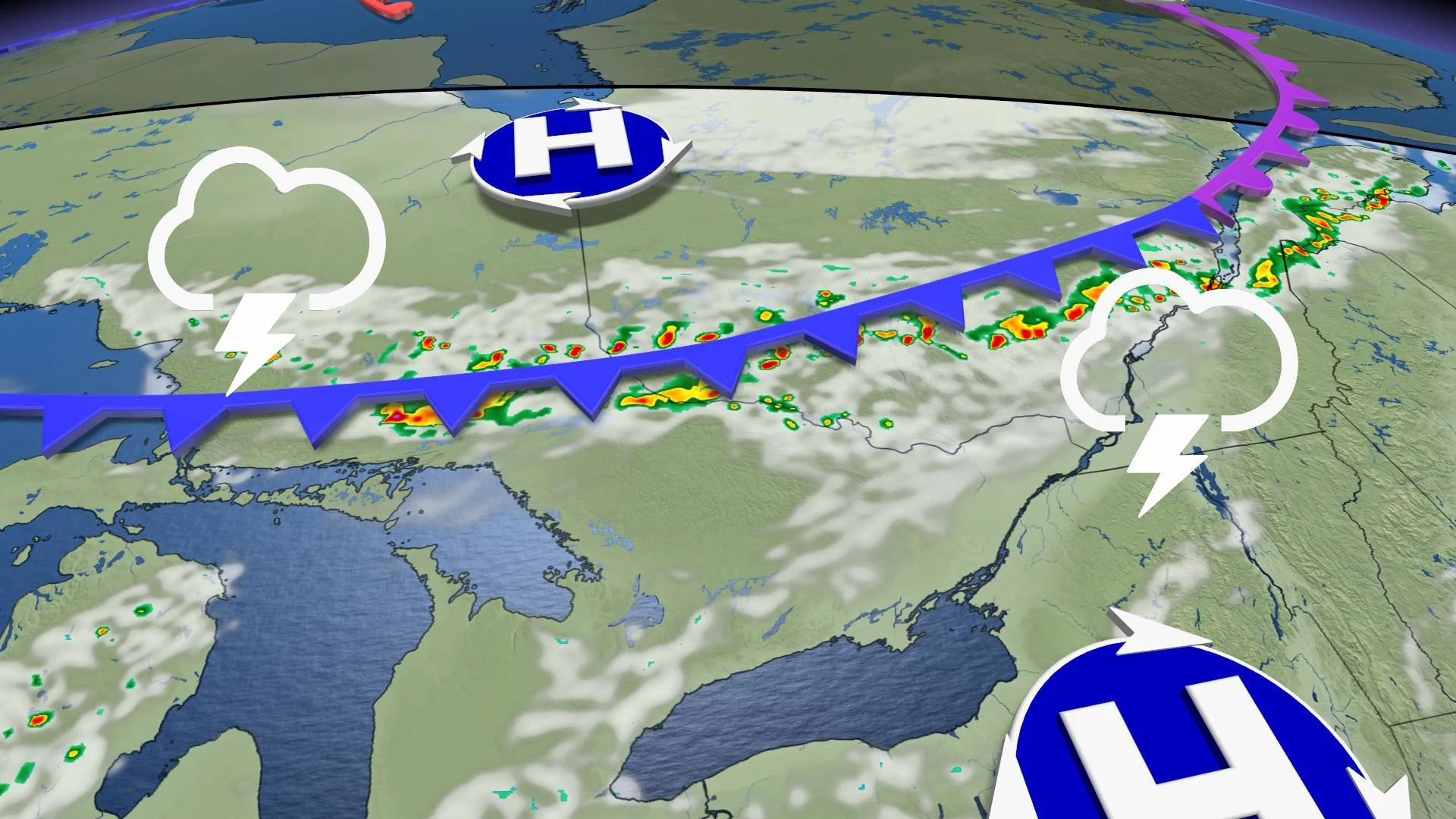
A cold front sliding southward through Eastern Canada will bring a risk for severe thunderstorms to parts of Ontario and Quebec on Tuesday afternoon.
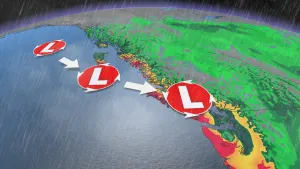
Northerly winds wrapping around a centre of low pressure over Labrador will set off the risk for storms on Tuesday.
Thunderstorms will develop during the afternoon hours as the cold front pushes into the warmth and instability to its south.
Timing is everything when it comes to Tuesday’s storms. Thunderstorms will thrive where the cold front meets the day’s greatest instability. As such, the threat for severe weather is quite narrow.
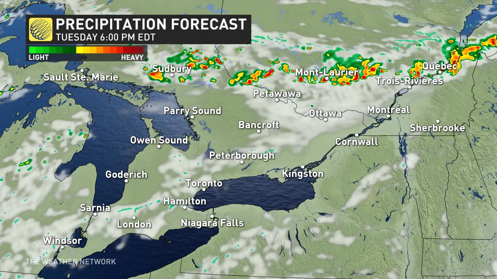
Right now, it looks as if the greatest instability will peak as the cold front stretches from the Nickel Belt to the St. Lawrence River.
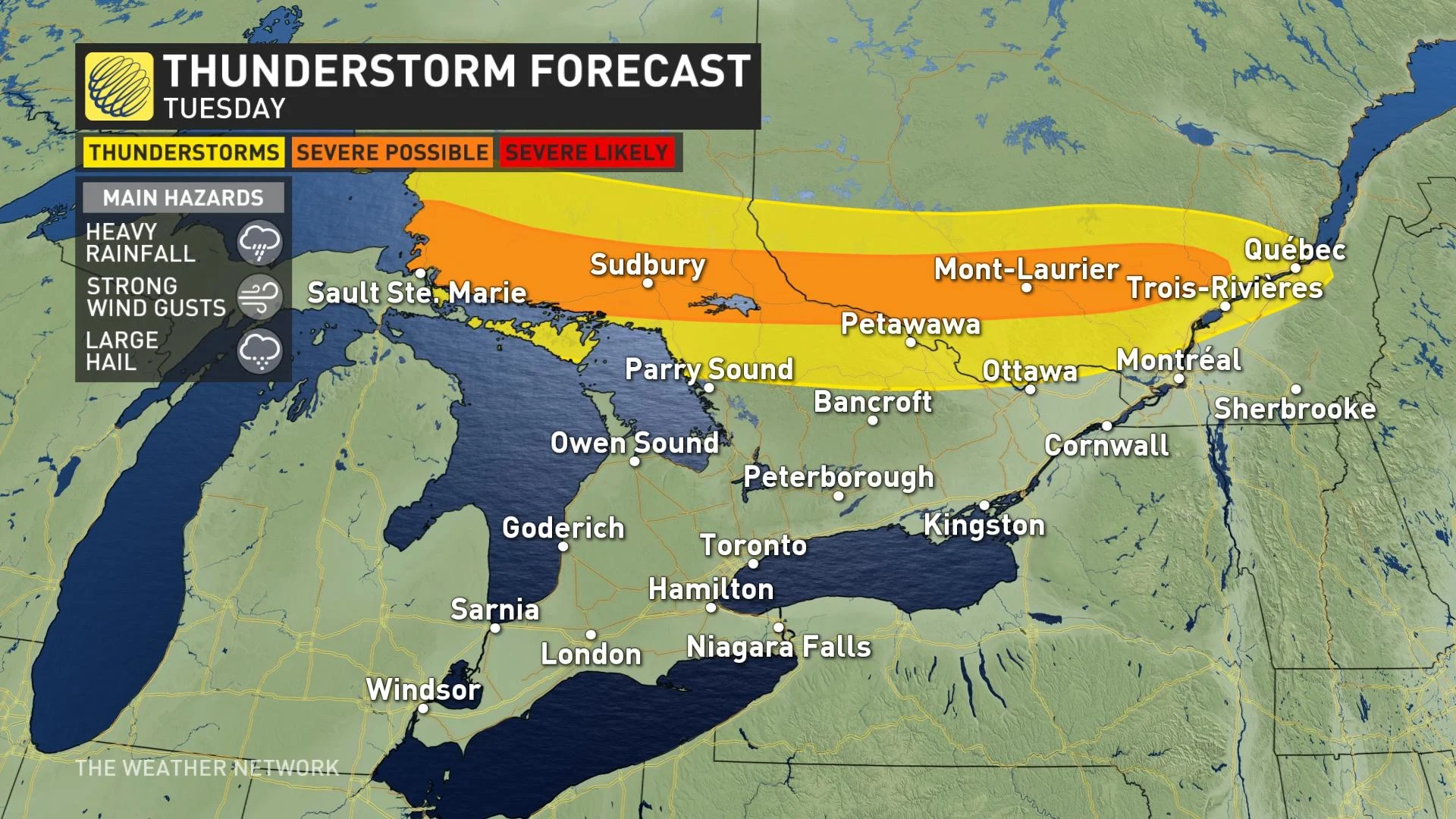
Tuesday’s risk for severe thunderstorms covers communities from the northern shores of Lake Superior to southern Quebec. The strongest storms could bring heavy rainfall, strong wind gusts, and large hail.
The cold front will largely fizzle out before it has a chance to reach southern Ontario. A ridge of high pressure building over the region will keep temperatures warm through early next week.
The Greater Toronto Area can expect above-seasonal daytime highs in the upper 20s to near 30°C for the next seven days. The next decent chance for thunderstorms will arrive on Saturday.
Check back for the latest on the storm threat across Ontario and Quebec.