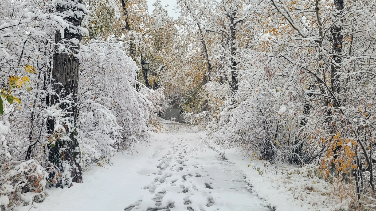
A mix of winter and fall weather set to descend on the Prairies

Last week has brought a big change to Western Canada, including the first major snowfall of the season to Saskatchewan. Another storm is set to kick off November.
Winter and fall weather will battle for possession of the Prairies this week.
A potent atmospheric river soaked the coast over the weekend but not all the moisture was removed by the mountains. Remaining moisture will cross the Rockies to start the week, on a collision course with descending arctic air over Alberta and surging warmth from the Central Plains.

Initially, upsloping snow will be the story for Southern Alberta through the day on Wednesday. A Montana low will be the end result, tracking towards Central Manitoba.

How quickly the storm develops a northward component to its track will determine where the swath of heaviest snow sets up. From Southern Alberta to Northern Manitoba, a band of 10 to 20cm is expected by Thursday; with Calgary, Lethbridge, and Lloydminster likely seeing the greatest impacts.
East of the storm track, temperatures will flirt with 20°C on Wednesday in Southern Manitoba.
Be sure to check back for the latest on conditions across the Prairies