The Weather Network
Weather
Maps
News
Video
Assistant
|
Active AlertsLes Eaux-Mortes, QC
Weather Maps
No alerts in effect for this location
Get forecast
More News from
The Weather Network
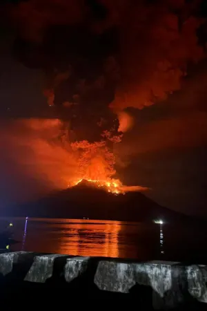
Volcanic lightning turns the night sky red during eruption
How this fish 'slide' helps keep invasive species out of critical habitats
What will the change to La Niña mean for Canada's summer?
A hidden fungus was growing under the snow and it's about to hit your allergies hard
Will the west or east see Canada's first 30°C temperature of 2024?
Are butterflies losing spots because of climate change?
Indonesian volcano eruption forces evacuations, airport closure
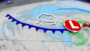
Brief, but intense winter weather wallops Newfoundland Thursday
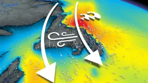
Poor travel lingers on the eastern Prairies as wintry weather hangs on
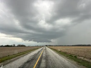
Chance for rotating storms with today's thunderstorm threat in southern Ontario
Advertisement
Advertisement
Advertisement