Pattern change to spoil warm spring weather
Meteorologist, PhD
Friday, April 17, 2015, 7:16 AM - After a slow start, warm spring weather finally arrived in southern Ontario this week.
Prior to April 9, only two days in 2015 had reached double-digit temperatures at Pearson Airport. However, since last Friday we have put together a really nice streak of double-digit days, including a high of 24.7ºC on Monday. (Remember, the average high temperature for this time of year is near 12 degrees Celsius).
This Friday will be the warmest day in the long range forecast with temperatures approaching 20ºC in Southern Ontario away from the Great Lakes, and above seasonal temperatures will continue across the region through Saturday.
While Saturday will not be quite as warm Friday, it will still be a very nice day for mid-April with abundant sunshine and high temperatures in the mid-teens.
THE COLD GREAT LAKES WATER EFFECT
However, our streak of double-digit highs will be in jeopardy Sunday thanks to an increasing east wind off the (still) chilly waters of Lake Ontario, along with increasing clouds.
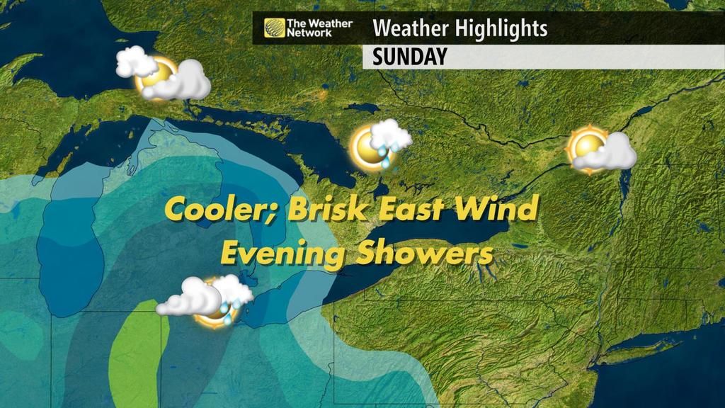
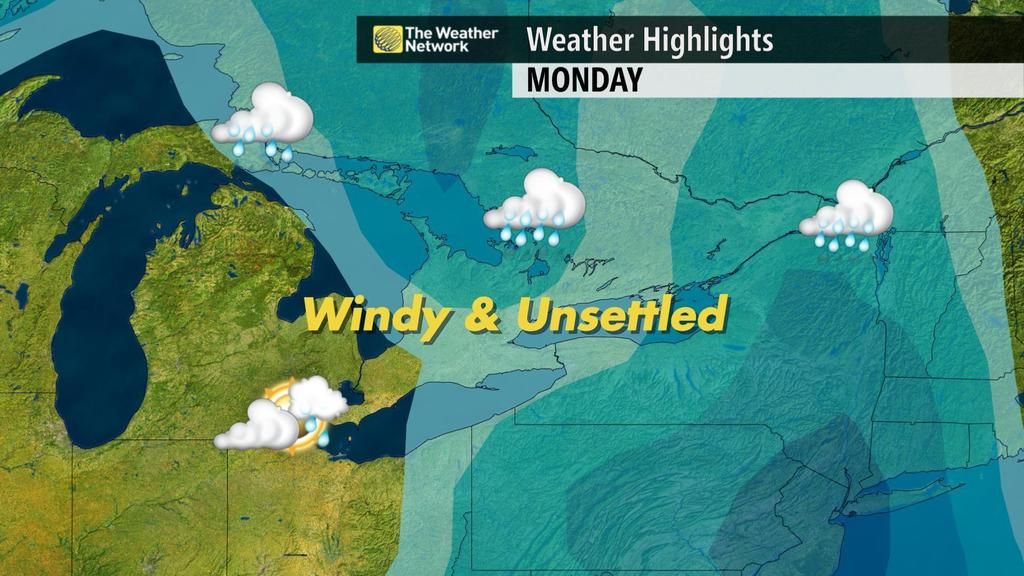
In addition, rain will arrive late Sunday afternoon or evening and occasional showers will continue into Monday and Tuesday of next week.
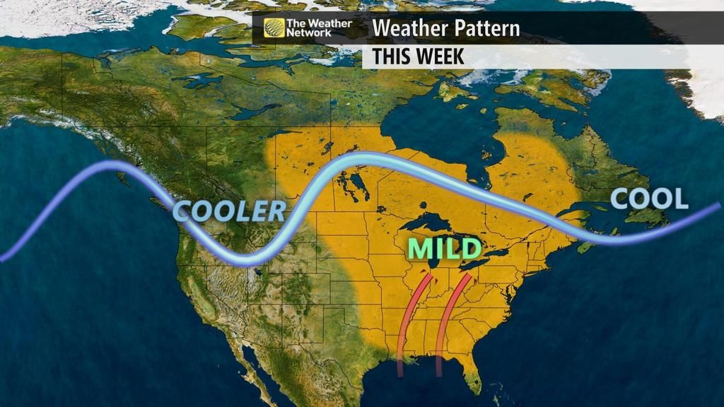
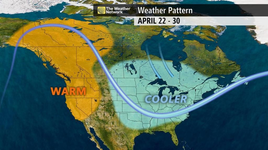
Unfortunately, the temperature pattern starting next week will feature a significant interruption to our warm spring weather, with below seasonal temperatures expected through the end of April.
WHEN WILL SOUTHERN ONTARIO SEE 20ºC AGAIN?
Fortunately, the temperatures that are considered “seasonal” are climbing at a rate of nearly 2 degrees per week. So, while the weather pattern shown above is not what most of us want to see, we are not heading back to winter either. Yes, it is unlikely that we will see temperatures reach 20ºC again until May (after this Friday), but our temperatures for the final ten days of April would still have been considered great news just a couple of weeks ago.
Looking further ahead, our preliminary look at the overall pattern for the month of May is encouraging. We should always expect fluctuations between cooler and warmer periods during the spring, but after a several months in which below seasonal temperatures have dominated, it looks like May will bring a much better balance between below average and above average temperatures.