Morning Briefing: Three things to know
Digital Reporter
Tuesday, September 9, 2014, 8:40 AM - The first snows of summer (!) are falling in Alberta, while other parts of Canada are looking at a midweek mess.
Here's your coast-to-coast look at what's ahead.
Atlantic Canada
Frost advisories for Newfoundland dropped Tuesday morning, after calm winds and clear skies raised frost risk across all of Atlantic Canada.
There's less of a risk tonight, and there's no real active weather expected until Thursday, when an offshore low will bring shower risk to Newfoundland. The precipitation is expected to remain mostly offshore, for now.
Nate Coleman will have a feature interview with the man who shot the viral video of the lion who charged an on-looker, but not to eat him, but rather give him a hug. Tune in Tuesday for the full report.
Ontario
There's a short-wave upper level trough passing through southern Ontario today, bringing with it the risk of isolated showers in the morning and non-severe thunderstorms in the afternoon.

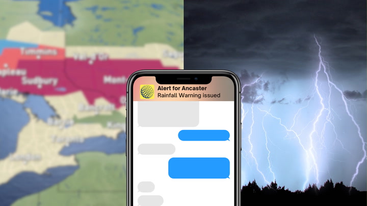
But the big thing to watch out for is a low pressure system en route to the region, set to bring strong gusty winds, heavy rain and a thunderstorm risk by the evening Wednesday.
The biggest chance of severe storms is focussed on southwestern Ontario.

As for the rain, areas further to the north are likely to get the heaviest amounts.
"Some uncertainty still exists on rainfall amounts for southern Ontario," Weather Network meteorologist Tyler Hamilton says. "A small change in track could bring heavier amounts of rain into the GTA, but a general 15-25 mm of rain can be expected overnight Wednesday into thursday for most locations, locally higher in thunderstorms.

Gusty winds will continue on Thursday, but Hamilton says late-day sunny breaks are possible.
Prairies
Snow fell throughout the evening in parts of central and western Alberta, and early Tuesday morning, Environment Canada expanded its snowfall warning to include the City of Calgary.

"Tuesday evening, the precipitation will ease a bit, but then pick up due to upsloping for Tuesday overnight into Wednesday," Hamilton says. "Model guidance has increasing snowfall amounts Tuesday night into Wednesday morning, putting Calgary in the 5-10 range, with higher amounts in the Foothills."
That's after what was already a snowy day and night in the region.

![]() STORM WATCH: Tune in for on-the-ground coverage from Margeaux Morin. If it's safe to do so, upload your pictures and videos here.
STORM WATCH: Tune in for on-the-ground coverage from Margeaux Morin. If it's safe to do so, upload your pictures and videos here.