Philippe vs. Lee: How Atlantic Canada’s two storms compare

Just weeks after Lee slammed the region, Philippe is on track to reach Atlantic Canada during the long Thanksgiving weekend. Here’s how the two storms differ
Folks across Atlantic Canada may have a touch of déjà vu looking at this weekend’s weather forecast.
Tropical Storm Philippe is on track to bring gusty winds and heavy rain to the region over the long Thanksgiving weekend. The impending storm will arrive just a couple of weeks after Lee’s powerful winds, coastal flooding, and drenching rains swept across the Maritimes.
Visit The Weather Network's hurricane hub to keep up with the latest on tropical developments in Canada and around the world
While the approaching storm will affect many of the same areas affected by Lee, the two storms are more like distant relatives than identical twins.
Philippe will have similar—but less intense—effects as Lee
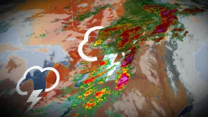
Lee reached the Maritimes as a post-tropical cyclone on Saturday, September 16, 2023, producing major impacts across the region.

The system buffeted Nova Scotia with winds higher than 115 km/h, knocking out power to more than 160,000 people and producing waves of 10+ metres just offshore.
RELATED: PHOTOS: Thousands left in the dark in the Maritimes after Lee's wrath
Philippe will arrive in the Maritimes around the same spot that Lee hit, but its effects will be noticeably less intense and farther to the west than we saw in the September storm.
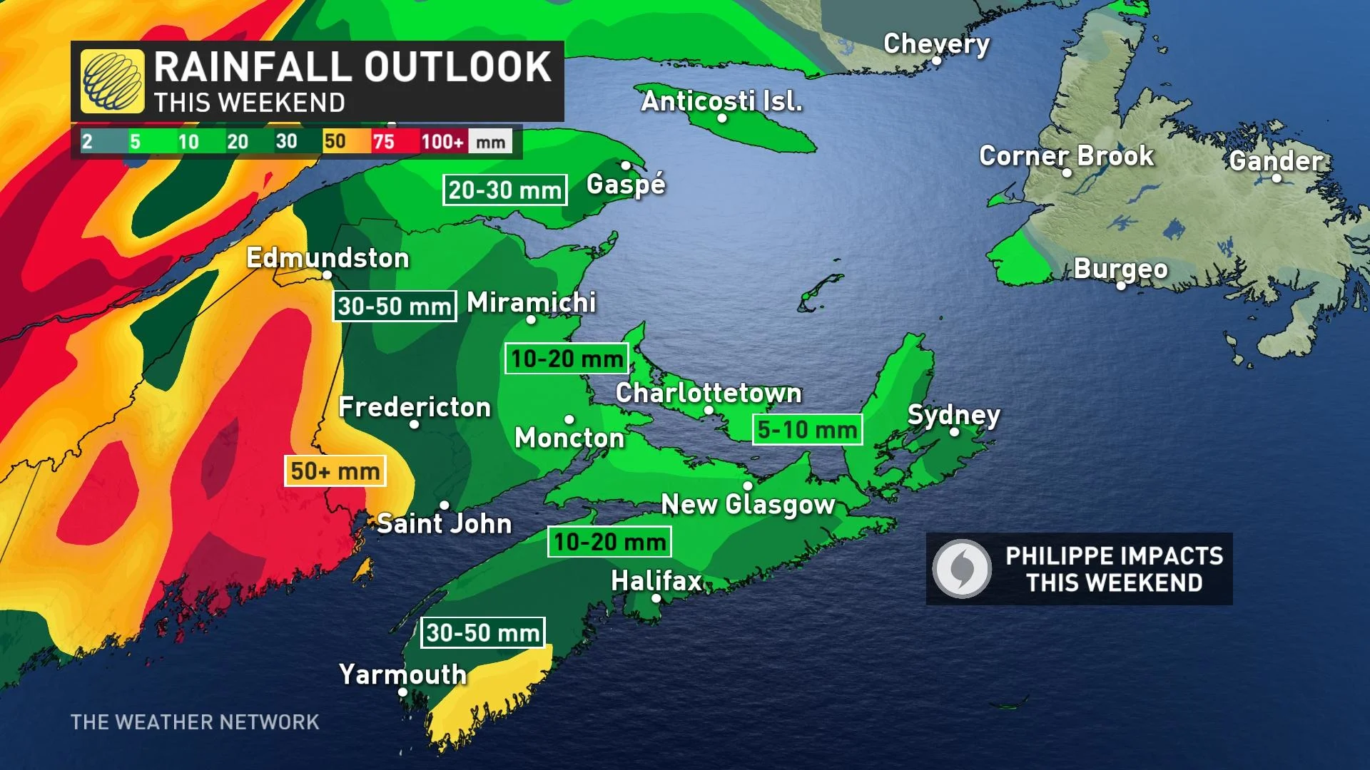
Gusty winds of 80-100 km/h are possible in the Maritimes, especially along coastal areas where wind encounters less friction over the open water. Rainfall totals of 30-50 mm are possible as Philippe pushes into the region this weekend, with the heaviest rains centred on the western Maritimes.
Philippe isn’t the monster Lee was
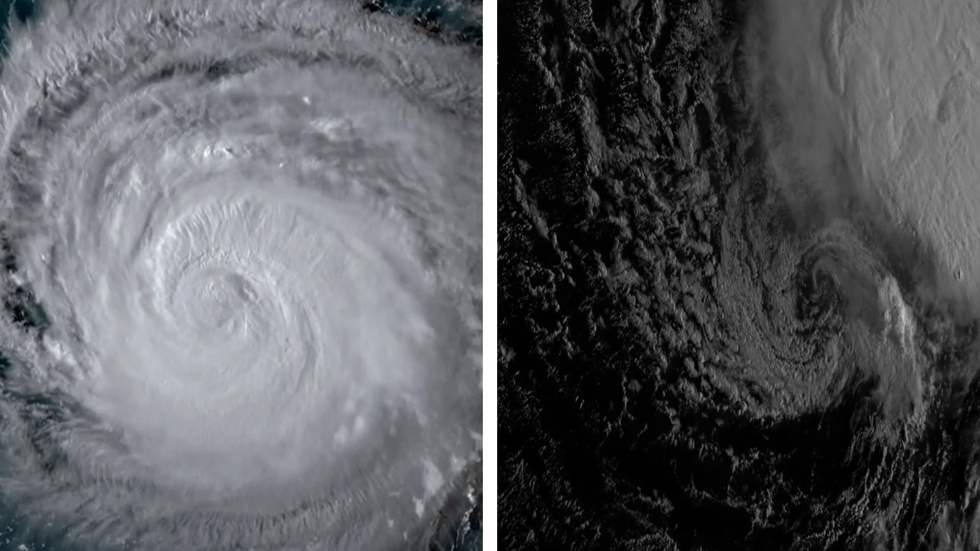
One reason Philippe should be a bit tamer than Lee is that the current storm is smaller and less organized than its erstwhile counterpart.
Tropical Storm Philippe has been around for quite some time. The system formed back on September 23, and forecasters initially expected the system to venture out into the central Atlantic to live out its uneventful life.
MUST SEE: A rare behemoth: Hurricane Lee’s incredible 9,000+ km journey

It was a path not meant to be. Philippe instead remained relatively weak and disorganized, allowing the shallow storm to move along on the whims of low-level winds. This allowed the storm to gradually inch toward the Caribbean, bringing flooding rains to portions of the Antilles before finally turning north this week.
Lee, on the other hand, carved a path across the Atlantic that took two weeks and more than 9,000 km to complete. The hurricane took advantage of near-perfect conditions to rapidly intensify into the Atlantic Ocean’s 29th scale-topping Category 5 hurricane ever recorded since the satellite era began in 1960.
Hurricane Lee’s impressive strength helped the storm grow into a behemoth, stretching more than 1,000 km from end to end by the time it reached the Maritimes. Philippe will only be a fraction of Lee’s size when it reaches the Maritimes this weekend.
Extratropical transition plays a role in both storms’ evolution
One trait that both Lee and Philippe have in common, though, is a process called extratropical transition.
Tropical systems gather their energy from thunderstorms clustered around the core of the storm. As they travel north toward higher latitudes, though, they lose the warm water fuelling those storms and begin to weaken.
DON’T MISS: 'Unprecedented' marine heat wave hits Canada's East Coast this summer

Sometimes, a tropical system will begin to interact with the jet stream, and those powerful upper-level winds will start to power the system. This is how most ‘everyday’ low-pressure systems gather their energy.
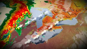
This process of extratropical transition turns a tropical cyclone into something more like a powerful nor’easter.
Philippe will lose its tropical characteristics by the time it reaches the Maritimes this weekend. This extratropical transition will grow the storm’s footprint, allowing it to produce gusty winds and heavy rain over a wider area as it pushes ashore.
Lee underwent the same process as it approached Nova Scotia last month—only this time, the eventual impacts shouldn’t occur on such an extreme scale.