It's not just your imagination, Atlantic storms are getting stronger faster

Research shows that tropical storms are more likely to rapidly intensify into major hurricanes—and at a higher rate—than storms were 50 years ago
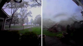
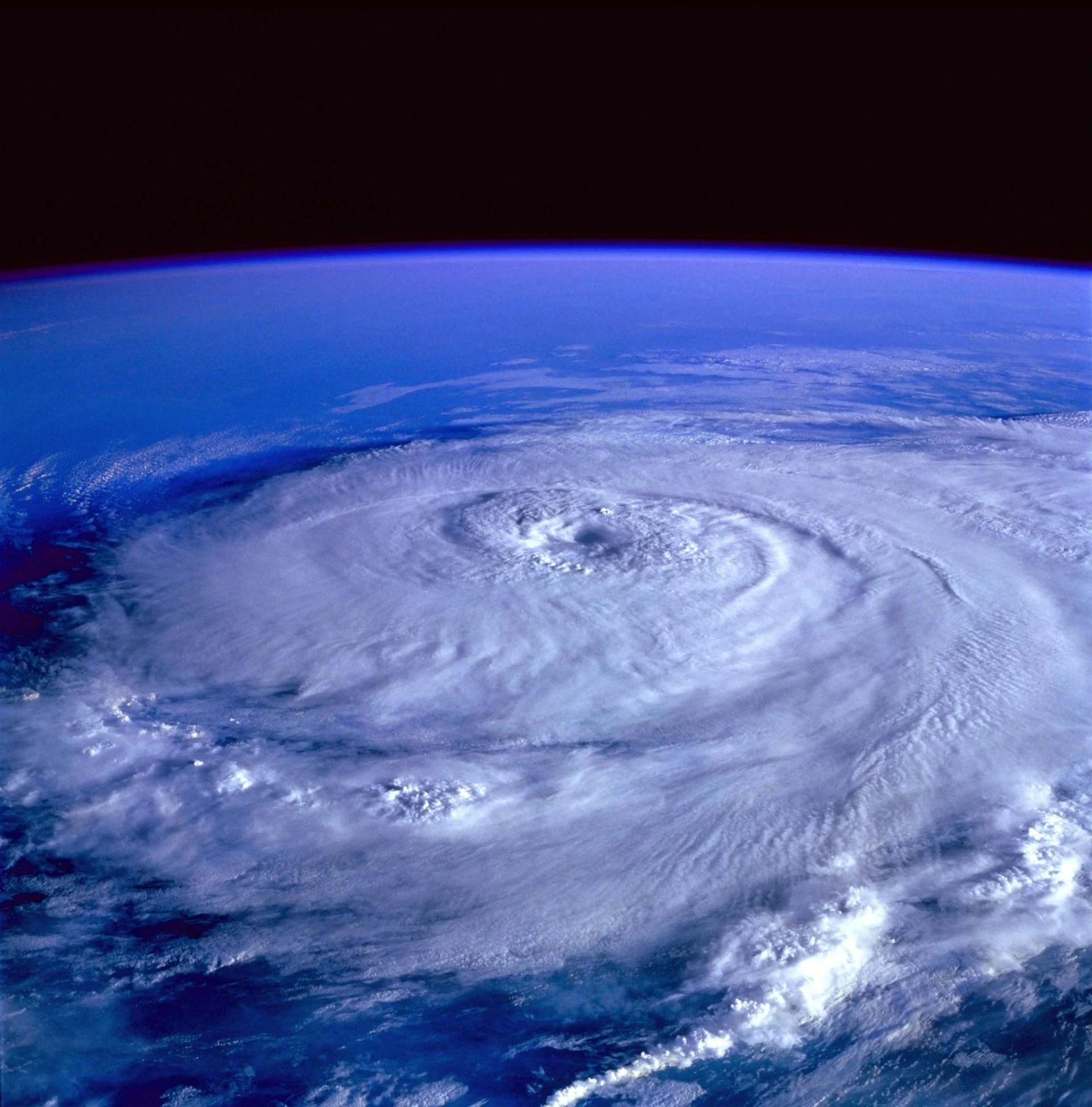
The 2023 Atlantic hurricane season saw many strong storms develop and blow through North America’s east coast, with one, Lee, reaching Atlantic Canada in September. While Lee made landfall as a post-tropical storm and didn’t cause catastrophic damage to the Maritime provinces, it did garner plenty of attention due to just how fast it went from a tropical depression into a monstrous Category 5 hurricane.
Notably, Lee wasn’t even the first storm in 2023 to undergo such a high degree of rapid intensification in the Atlantic. In August of 2023, Idalia gained widespread attention for its own rapid intensification ahead of its Florida landfall.
RELATED: A rare behemoth: Hurricane Lee’s incredible 9,000+ km journey
Idalia caused major, widespread damage to Florida’s west coast when it made landfall as a Category 3 hurricane. While rapid intensification is a fairly rare event, requiring the storm ‘ingredients’ to come together in perfect balance, Idalia and Lee are just two more storms that have joined the latest trend of monstrous hurricanes that underwent rapid intensification over recent years.
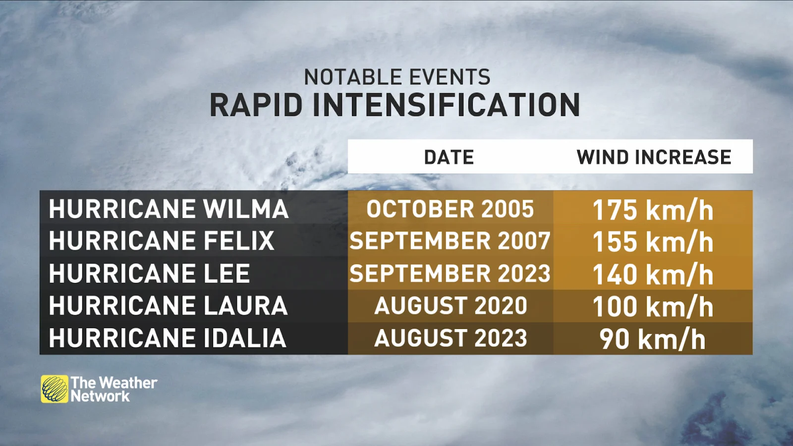
In fact, research shows that tropical cyclones in the Atlantic Ocean have significantly increased their intensification rates over the past 50 years, and single-day (24-hour) intensification rates have increased by about 27.1 per cent from 1971 to 1990.
The study looks at tropical cyclones over three distinct timeframes: a historical time frame (1971–1990), an intermediate time frame (1986–2005), and a modern time frame (2001–2020). Over these time frames, it was found that tropical storms were steadily becoming more intense at a more rapid rate.
The study looks at tropical cyclones over three distinct timeframes: a historical time frame (1971–1990), an intermediate time frame (1986–2005), and a modern time frame (2001–2020). Over these time frames, it was found that the storms were steadily becoming more intense at a more rapid rate.
What’s more, cyclones that develop in the Atlantic Ocean now are almost three times more likely to undergo rapid intensification into a major hurricane than they were historically.
Think about it: you put a glass of water in a warm room, and over time the water will warm up until it’s the same temperature as the rest of the room. Now think of the atmosphere around the planet as the room and the oceans as the glass. As the atmosphere gets warmer, the ocean is going to become warmer with it. However, due to the sheer volume of water in the oceans, it warms much slower than the atmosphere. But it doesn’t take much warming for there to be catastrophic impacts.
WATCH: How a tropical cyclone forms over warm oceanic water
Tropical cyclones feed off energy sourced from the ocean's heat. The heat works to sustain the storms, which is why we see tropical storms that are able to live for days to weeks over the oceans.
In June 2023, sea surface temperatures in the North Atlantic were on average 1.36°C warmer than any June previously on record. Thus, tropical storms forming in the Atlantic have more available fuel, allowing them to rapidly grow into ferocious major hurricanes.
As we move forward into a changing climate, the increased odds of seeing rapid intensification occur in storms will pose a problem for forecasters.
SEE ALSO: 'Unprecedented' marine heat wave hits Canada's East Coast this summer
Forecasting the weather is difficult enough due to the fact that weather is inherently dynamic—it's always moving and changing. Luckily, at its core, weather is predictable, and forecasters are able to see trends and patterns that help them make their forecasts.
Rapid intensification, however, is less predictable and happens so fast and suddenly that it’s harder to forecast.
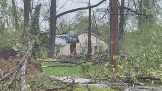
Take Hurricane Michael in 2018, for example. Ahead of its landfall, it was a Category 1 storm but suddenly exploded into Category 5 just as it was approaching the Florida coast, catching residents and forecasters off-guard. The storm racked up about $25 billion USD in damages and claimed many lives.
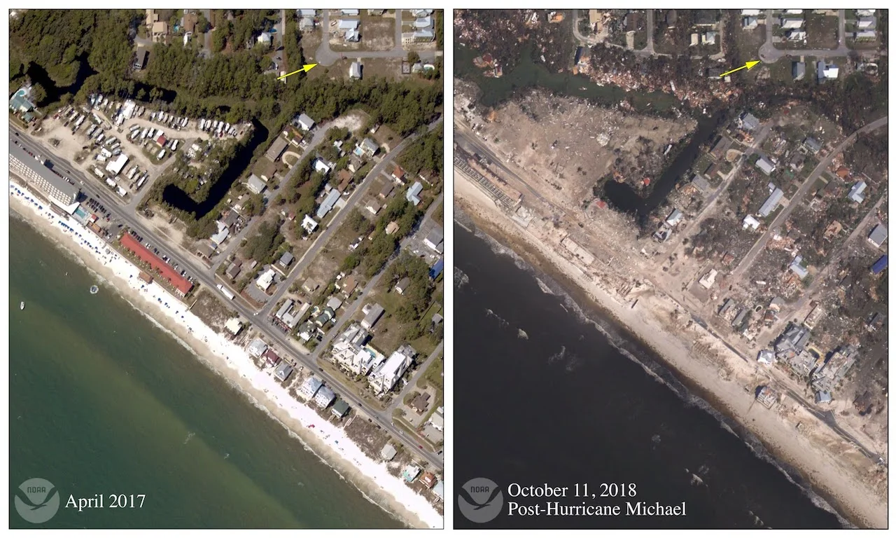
Before and after images of Hurricane Michael's aftermath in Mexico Beach, Fla. Photo: NOAA
As storms over the Atlantic continue to increase their likelihood and magnitude of rapid intensification, they will become more difficult to forecast, becoming an even greater danger to those caught in their paths. Unfortunately, this is only going to become a regular part of our changing climate.
WATCH: Hurricanes are growing more intense, and climate change is probably to blame
Thumbnail image credit: 12019/Pixabay