Active AlertsMorgan, MN
You should monitor later forecasts and be prepared to take actionshould Flash Flood Warnings be issued.
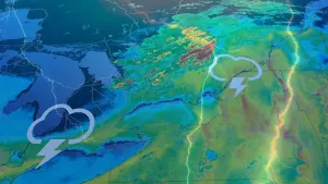
* WHAT...Flash flooding caused by excessive rainfall continues to bepossible.* WHERE...Portions of south central, southeast, and southwestMinnesota.* WHEN...Through this evening.* IMPACTS...Excessive runoff may result in flooding of rivers,creeks, streams, and other low-lying and flood-prone locations.Flooding may occur in poor drainage and urban areas.* ADDITIONAL DETAILS...- Multiple rounds of showers and thunderstorms should occurfrom early Tuesday morning through Tuesday evening. Thisactivity will have a very good chance at producing heavyrainfall rates due to high precipitable water values andstrong lifting mechanisms.- http://www.weather.gov/safety/flood
Winds this strong can make driving difficult, especially for highprofile vehicles. Use extra caution.
* WHAT...Northwest winds 25 to 35 mph with gusts up to 45 mphexpected.* WHERE...Redwood, Douglas, and Pope Counties.* WHEN...From 4 PM this afternoon to 11 PM CDT this evening.* IMPACTS...Gusty winds will blow around unsecured objects. Treelimbs could be blown down and a few power outages may result.


