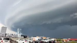
Active AlertsMitchellville, IA
For the latest river and stream observations and forecasts refer toweather.gov/desmoines/water.Turn around, don't drown when encountering flooded roads. Most flooddeaths occur in vehicles.River forecasts include observed precipitation plus forecastprecipitation over the next 24 hours.For the latest river and stream observations and forecasts refer toweather.gov/desmoines/water.
...The Flood Warning is extended for the following rivers in Iowa...Des Moines River at Des Moines SE 6th St affecting Polk County.Raccoon River at Des Moines Fleur Dr affecting Polk County.East Nishnabotna River near Atlantic affecting Cass County....The Flood Warning continues for the following rivers in Iowa...Iowa River near Tama Hwy E49 affecting Tama County.* WHAT...Minor flooding is forecast.* WHERE...The Des Moines River at Des Moines SE 6th St, or frombelow the Center Street dam...to Runnells.* WHEN...From Wednesday afternoon to Saturday morning.* IMPACTS...At 25.7 feet, Water surrounds the base of Simon EstesAmphitheater.* ADDITIONAL DETAILS...- At 7:00 PM CDT Tuesday the stage was 21.7 feet.- Forecast...The river is expected to rise above flood stageearly tomorrow afternoon to a crest of 25.8 feet earlyThursday morning. It will then fall below flood stage earlySaturday morning.- Flood stage is 24.0 feet.